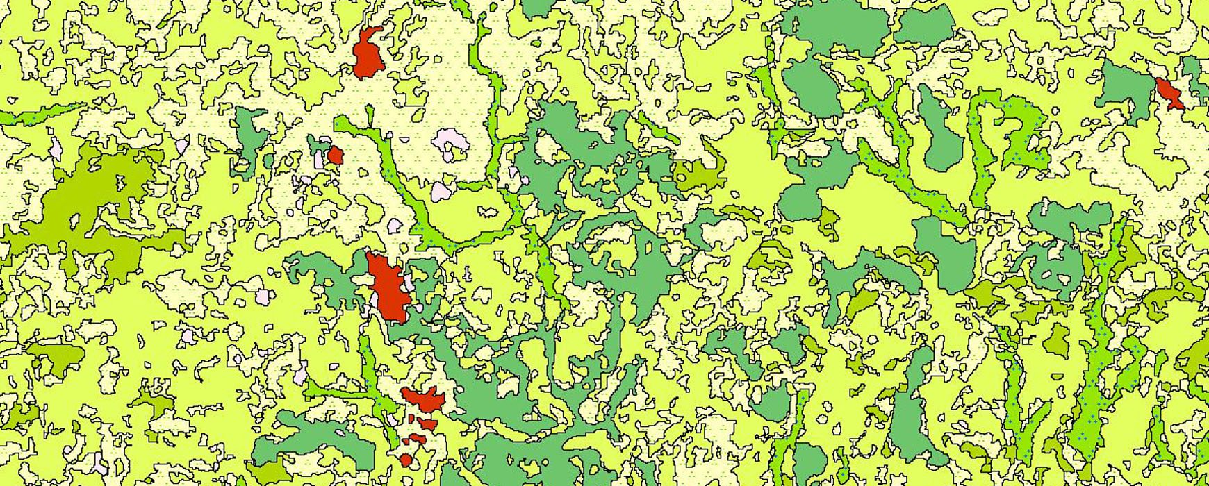
France has provided SPOT 6 and 7 satellite images to central African countries as well as some Western African countries, including Ivory Coast, as part of the REDD+ project and other initiatives concerning the sustainable land management. IGN FI is responsible for steering the program and supporting these countries in utilizing the SPOT data and in involving the knowledge of land cover thematic. The SEP-REDD+ has initiated the spatial land monitoring (SST) project, a major component of the initiatives carried out as part of the REDD+ scheme in Ivory Coast, in order to make the most of this momentum.
The SST is divided into several sections, two of which were confided to Ivorian institutions: the first on land use mapping over the whole country, and the second for the creation of a geoportal for dissemination of data. These entities are both references in the field of geographic information: the Geographic and digital information Centre (CIGN BNETD), part of the National Office for technical studies and development and the National Committee of remote sensing and land information (CNTIG). Having a large experience for the two components, the SEP REDD+ chose IGN FI to support the work carried out by the CIGN and the CNTIG. IGN FI’s work was set around the following objectives:
- Providing support Ivorian institutions in defining specifications for the geoportal and land use data.
- Advising Ivorian experts and validating the work carried out on the geoportal and the land use layer.
- Ensuring skills transfer to Ivorian project teams throughout the project and training for two SEP REDD+ experts during a two-week course in Paris.
As IGN FI project manager and land cover expert Gabriel Jaffrain explained, “IGN FI’s experience was useful in framing, proposing and recommending the land use classes adapted to a national context and its issues. Quality control, advice and training helped to ensure skills maintenance within national teams.”

