An international consortium of public agencies: the British Geological Survey (U.K.); IHCantabria (Spain) and Geological Survey Ireland (Ireland) and companies: ARGANS (U.K.); isardSAT (Spain); adwäisEO (Luxembourg); Arctus (Canada) and IGN FI (France) – led by ARGANS (UK), has won a major project funded by the European Space Agency (ESA) to develop innovative Earth Observation (EO) products/information in response to authoritative requirements from end users in charge of Coastal Erosion studies and mitigation. The Coastal Erosion project is an application project within the Science for Society slice of the 5th Earth Observation Envelope Programme (EOEP-5) of ESA. The consortium shall explore Coastal Change from Space to prepare the ground for a long-term exploitation of remote sensing from satellites by large user communities, and is expected to provide substantial and concrete benefits to the targeted user communities when analysing the trends of coastal erosion and accretion as well as the status of coastal defence works, i.e. vulnerability of the coast.
The consortium embeds this principle by including five Champion User organisations, representing the user communities in their nations, focussed on multiple representative coastal environments across four countries.
The Champion End Users are:
- The Government of Spain, Ministerio para la Transición Ecológica (MITECO), which is the national authority responsible for the Spanish Coast. The technical validation of EO products in the Spanish coast will be performed by Instituto de Hidráulica Ambiental de la Universidad de Cantabria (IHCantabria), in collaboration with the Instituto Geográfico Nacional (IGN) and the Instituto Hidrográfico de la Marina (IHM), seeking to meet the Spanish end user’s requirements;
- The Geological Survey Ireland (GSI), is the authoritative earth science Irish agency and part of the Department for Communications, Climate Action and Environment, engaging with Ordnance Survey of Ireland (OSI), Office of Public Works (OPW);
- The Government of Quebec, which is the regional authority of Canada responsible for the coasts of St Lawrence in the province of Québec. The technical validation of EO products will be performed by the company Arctus Inc. in close collaboration with the Québec Government’s research chair in coastal geoscience of the Université du Québec à Rimouski (UQAR), which is operating an extensive observatory of the coastal zones of Québec;
- The British Geographic Survey (BGS), a national expert working with regional and local authorities and engaging with Coastal Partnership East (CPE), Channel Coastal Observatory (CCO), the Environment Agency (EA), the UK Hydrographic Office (UKHO), the National Oceanographic Centre (NOC) and coastal engineering consultants and academics; which will coordinate the overall end-user engagement;
- Last, the potential export market of West Africa represented by IGN FI (France) technical operator for export of the French institute of geographic and forest information (IGN).
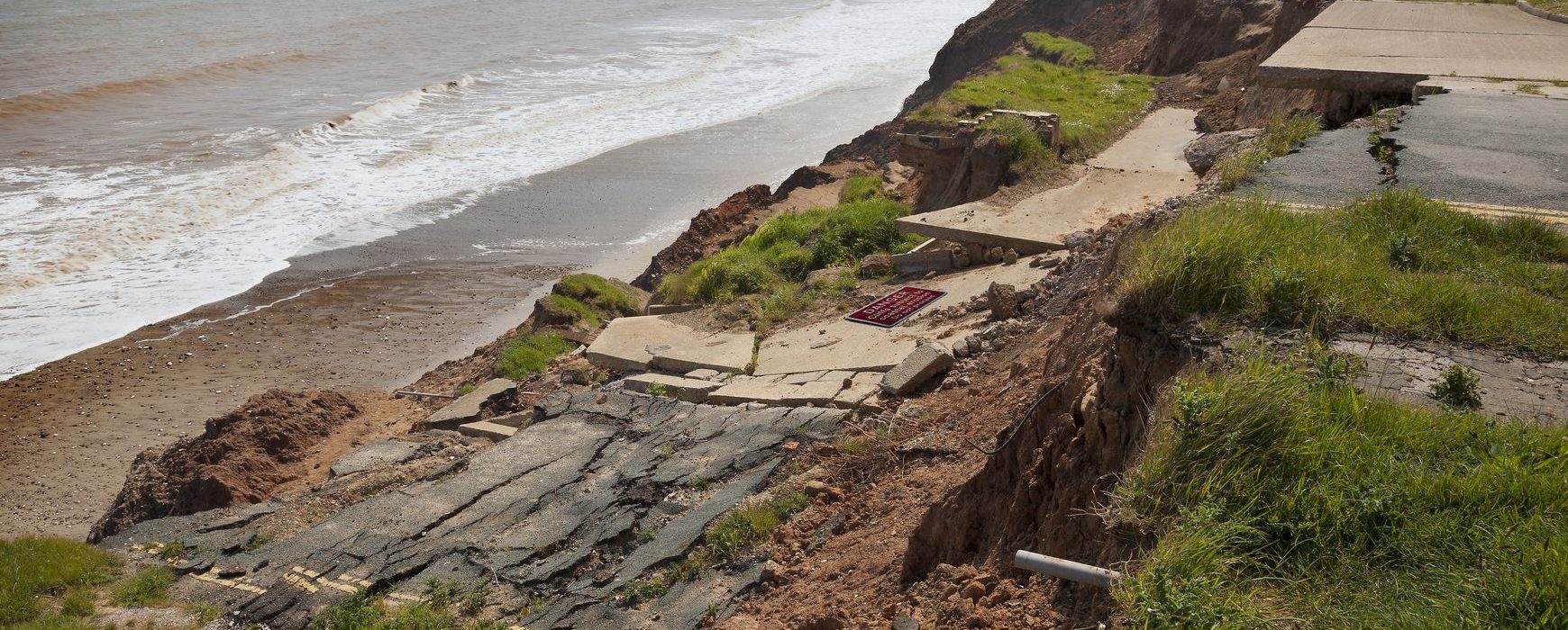
The coastal environment is constantly changing. Climate change with storm surges, rapid sea level rise, floods, and so forth impacts the coastline and through shoreline inland migration has a substantial economic and human impact. It requires management and monitoring. Coastal Erosion is a two phase, 24-month project. It is expected to be an ideal platform for Research and Development, in close partnership with Champion Users, therefore best representing the respective communities. It will deliver novel EO products and innovative algorithmic approaches required by the users. The source of EO data used will be the ground-breaking Sentinel 1 and Sentinel 2 missions of the European Copernicus constellation. This will be combined with data from previous missions including: ERS-1; ERS-2; Envisat, SPOT…. – not to mention the Very High Resolution (VHR) missions such as COSMO-SkyMED, TerraSAR-X, Pleiades,…
The project will be presented at the Living Planet Symposium in Milan on the 14th May 2019.

