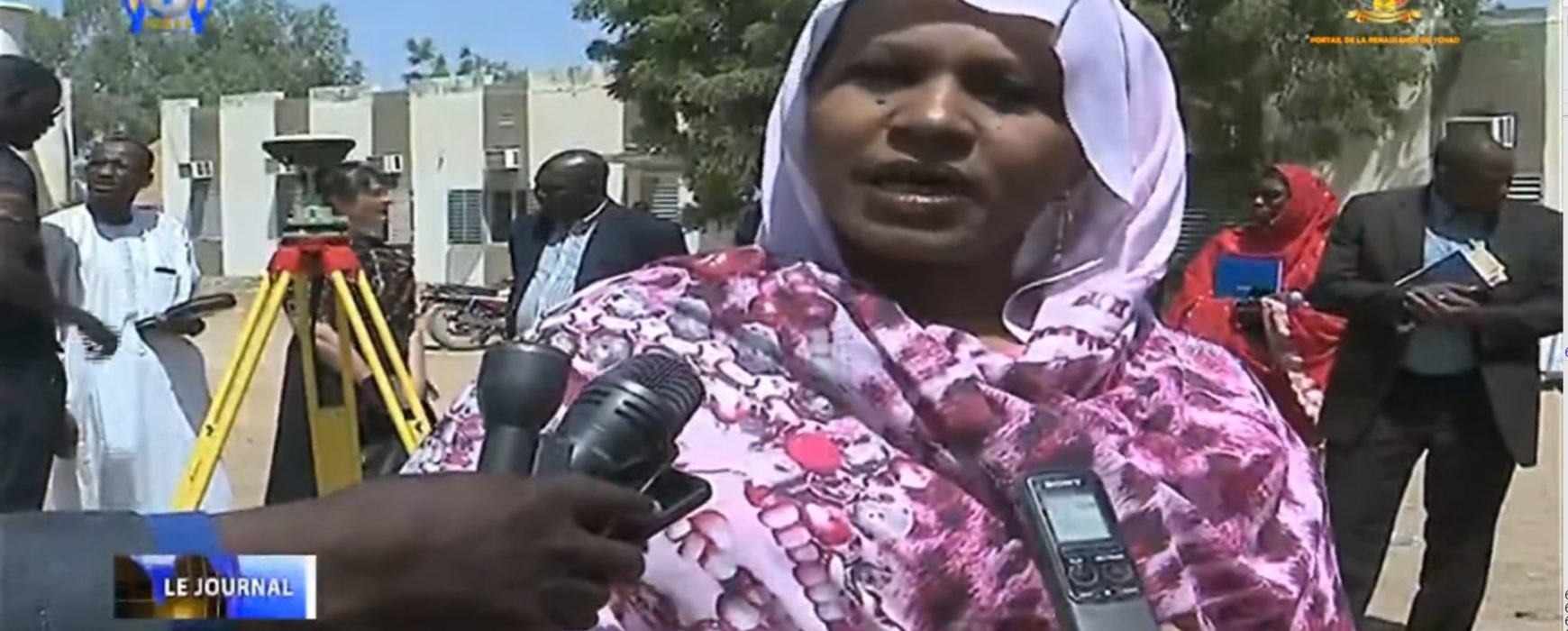
The Minister of Spatial Planning, Housing Development and Town Planning inaugurated Chad’s first geodetic pillar on 16 March 2020.
The new geodetic reference system established for the city of N’Djamena and the surrounding area will in due course be rolled out in the form of 75 geodetic pillars and 50 orientation pillars. All reference data produced by the Ministry will then be expressed by means of this system, which is compatible with international systems and based on modern satellite positioning techniques (GNSS).
The system, called RGT20 (Chad Geodetic Network) is one of the components of the Infrastructure for Spatial Data Project for the city of N’Djamena and its surroundings. This is a large-scale project which is being carried out by IGN FI in partnership with the Chadian engineering office BECC, in close collaboration with the Ministry and the various Chadian stakeholders, and includes the production of geographic reference data (DTM, DEM, orthoimages, urban data bases, town plans), developing production capability within the Ministry and developing the utilisation of the data produced.
This reference project will will contribue to enhance water drainage and sanitation management in urban areas as a result of accurate modelling of the gradients necessary for drainage. Another benefit of the geodetic network, if deployed across the whole country, could be the delimitation and demarcation of the national borders.
The inauguration received the following media coverage (in French):
TV News, “le Journal du Tchad”,16 March 2020. Watch the extract: https://youtu.be/6aVJ2rF1rqw?t=1031
Toumaï web medias. Read the article: Urbanisme – inauguration de la première borne géodésique de référence au Tchad (Town planning – inauguration of the first geodetic pillar in Chad)
Newspaper Le Progrès n°5268. Read the article: Le Tchad se crée un nouveau réseau géodésique (Chad sets up a new geodetic network)

