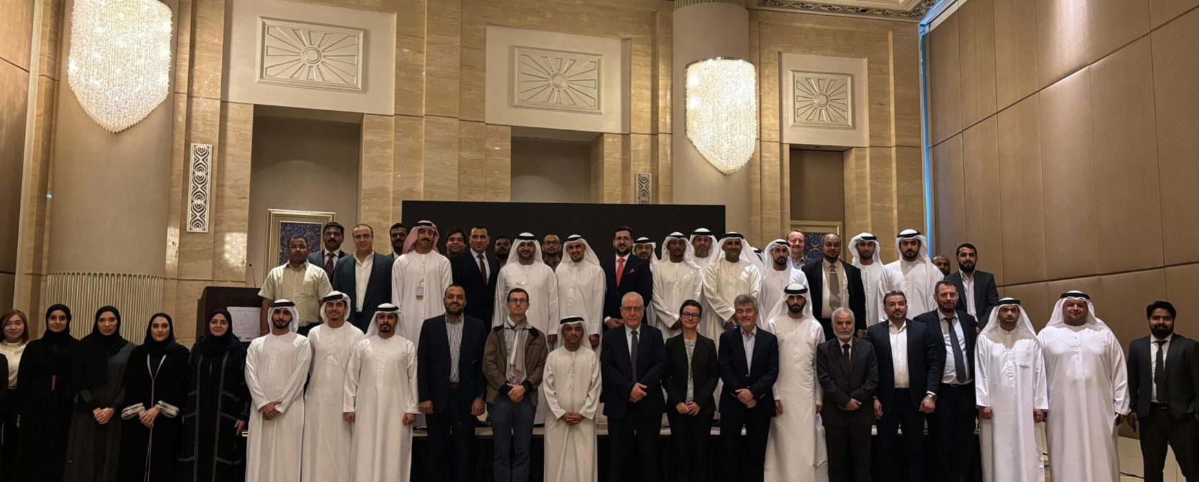
Under the initiative of the Federal Geographic Information Center for the establishment of the UAE National Geodetic Reference Frame (NGRF) and in collaboration with GECO Engineering, IGN FI, a successful workshop has been organized to introduce the NGRF project to key stakeholders.
The project officially commenced on 30 September 2024. A workshop held at the St. Regis Abu Dhabi on 27 November 2024 outlined the project’s methodology and implementation plan. The event included 2 presentations by FGIC, and a presentation on the International Terrestrial Reference Frame (ITRF) by Dr. Zuheir Altamimi, Research Director at the National Institute of Geographic and Forest Information (IGN) and the Institut de Physique du Globe de Paris (IPGP), France.
Attendees included representatives from entities managing Continuously Operating Reference Stations (CORS) across the seven Emirates, alongside participants from federal entities, the energy industry, Etihad Rail, academic institutions, and other sectors.
The NGRF project aims to update the existing geodetic reference networks across the UAE. Its goal is to implement a unified national geodetic reference frame, providing tools to seamlessly convert between local and national reference frames.
The FGIC, established through Federal Law No. 5 of 2019, oversees the geospatial sector at the federal level in the UAE, including the National Spatial Data Infrastructure (NSDI).
GECO Engineering Equipment Trading LLC, a company, has been a leader in surveying and mapping equipment and services in the UAE since the 1970s. Meanwhile, IGN FI serves as the technical operator of IGN (the French Mapping Agency) for international activities.
The GECO/ IGN FI Consortium leverages its combined expertise in geodesy across the region. IGN FI contributes knowledge from similar large-scale initiatives conducted in France.
The NGRF is a cornerstone of the UAE’s geospatial sector and supports applications such as land administration, disaster monitoring, infrastructure planning, environmental management, and scientific research.