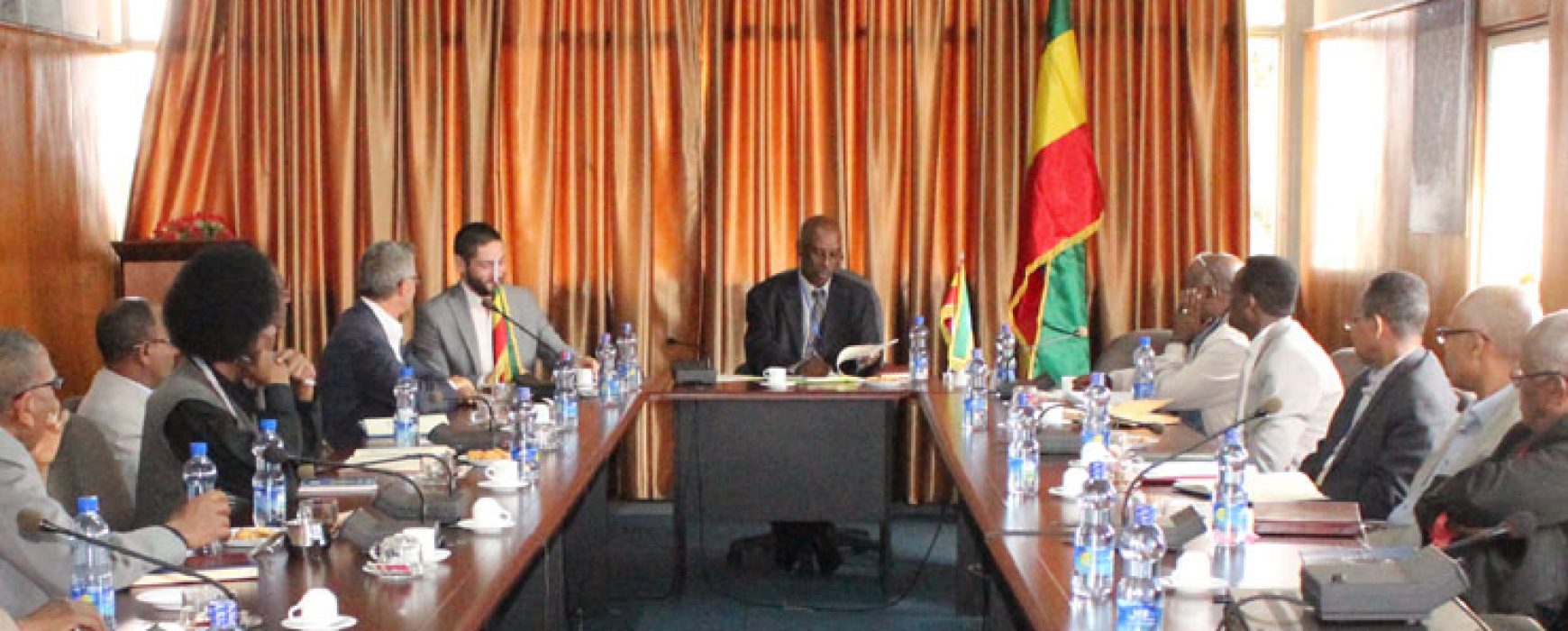
Use of Sentinel-2 imagery, CNES, IGN FI and EMA sign agreement
Wednesday 11 October, CNES, IGN FI and the Ethiopian Mapping Agency (EMA) signed a cooperation agreement in Addis Ababa to provide EMA with updates for the land cover layer of its 1:50,000 topographic maps. Under the agreement, CNES will supply cloud-free Sentinel-2 images corrected for atmospheric effects, while IGN FI will be responsible Continue reading

