Preliminary study and technical assistance to implement the national geomatic plan, Gabon
Numerous countries, including developing countries, are now integrating National Geomatic Plans (NGP) as a key element of their national development strategy. An NGP is a complete set of actions that consist in bringing together and creating geographical data and sectors, deciding on the use of this data in a way that makes it useable at all times by governments or their departments in order to implement their public policies successfully.
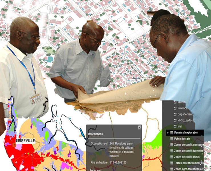
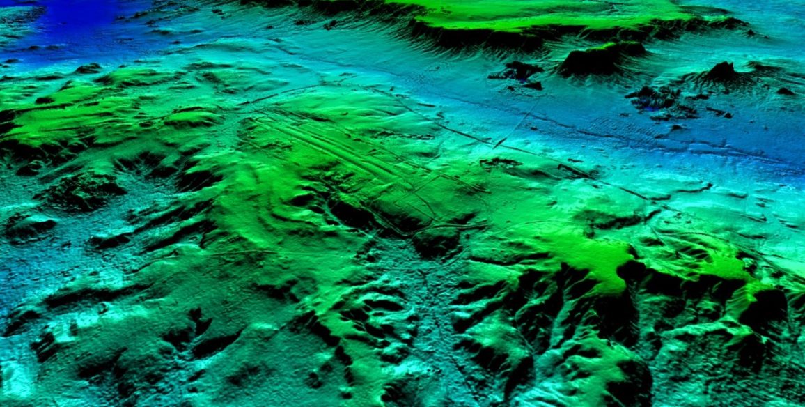
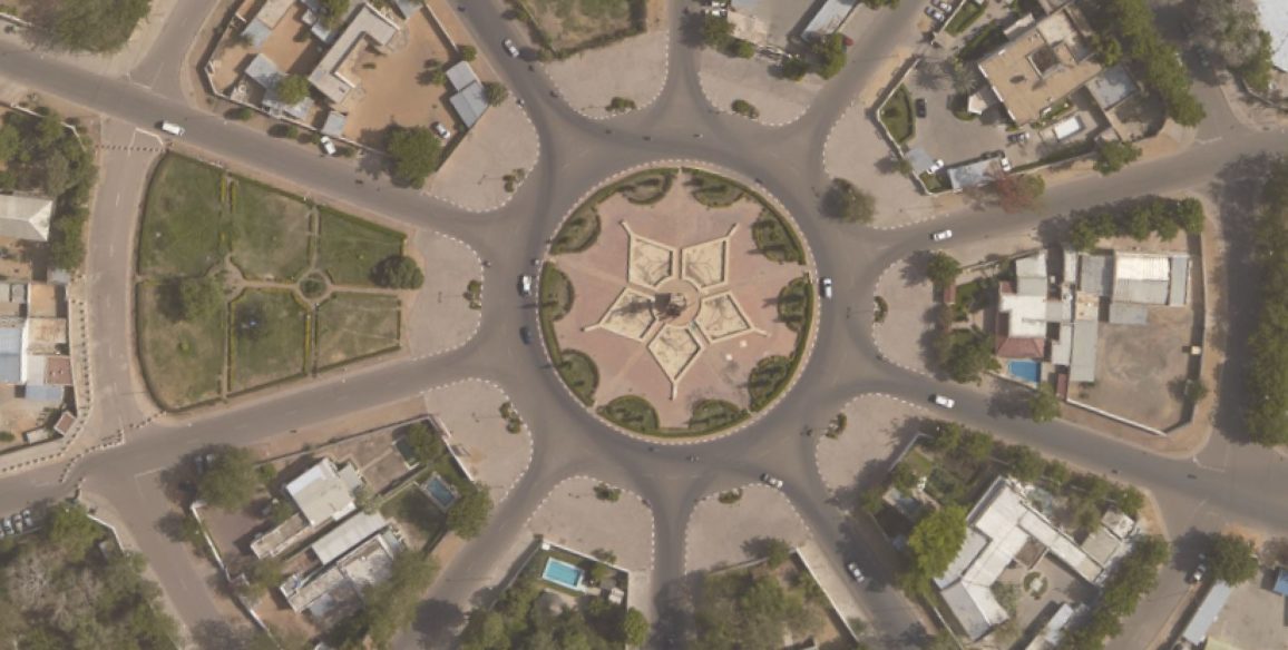
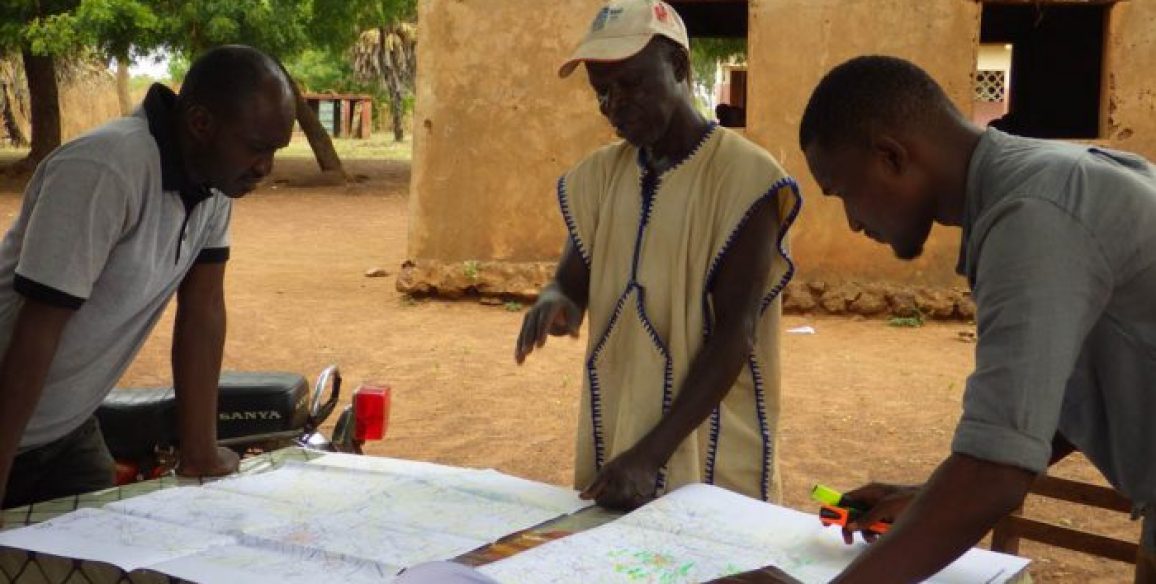
Gabon is a country rich in environmental and mineral resources. Geographic information is clearly shown to be an indispensable tool in supporting the ‘Emerging Gabon’ national development strategy created by the President of the Republic. The country wanted to implement a National Geomatic Plan in order to meet this policy’s objectives. IGN FI was chosen by the Gabonese General directorate for Budget in 2011 to conduct the preliminary study for implementing a National Geomatic Plan in Gabon. In addition to this preliminary phase, 4 pilot projects were completed in order to demonstrate the added value of well-organized and shared geographic information.
In 2013, ANINF (the Gabonese National Agency for Digital Infrastructures and Frequencies) and IGN FI signed an assistance agreement in order to implement the National Geomatic Plan on a national scale.
Main objectives and deliverables
The two phases of this project conducted by IGN FI focus on work in six different areas:
- Piloting and coordination
- Spatial reference network
- Production, distribution and cataloguing of geographic information
- Realisation of pilot projects
- Training and acquisition of skills
- Conducting change and communication
Key figures
- 4 pilot projects
- 6 sectorial projects studied and reference terms defined
- 12 training sessions in geomatics and project management
- 10 people trained
- More than 130 workshops
- 1 seminar
- 7 NGP working group meetings

