Project to provide support to the reform of urban land management (PAGEF), SENEGAL
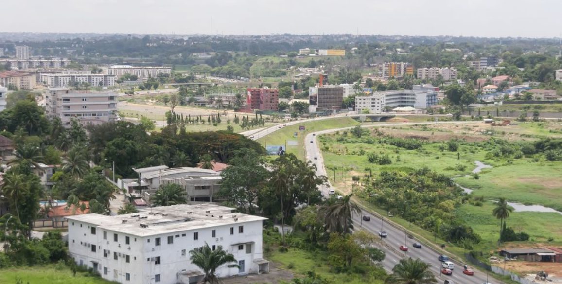
The country of Senegal stretches over a surface area of 196,722 sq.km and is made up of 11 regions which are subdivided into departments, communities, suburbs and rural communities. The specific geography of Dakar and its suburbs combined with its natural demographic growth and a high level of rural exodus has created great pressure on the land ownership system in the area and the pressure of private use of the national domain is being increasingly felt.
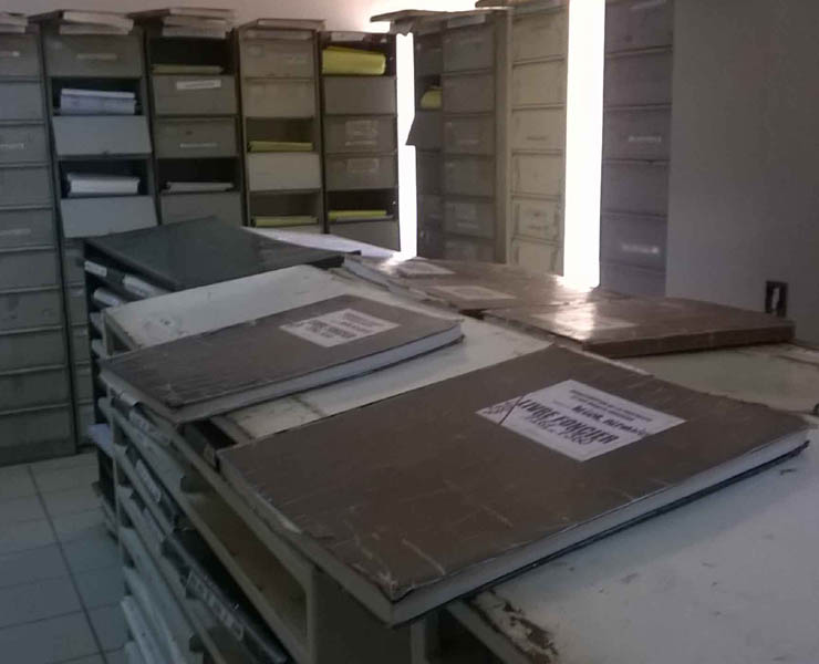
The country’s current system has many weaknesses with too many governing texts which are often badly coordinated and out-of-date. This obviously has an effect on the availability and reliability of land and domain-associated data as well as its accessibility. These weak points also leave the system exposed to illicit practices which means that potential investors have no confidence in the present system. Moreover, it is not sure that the State accepts full responsibility for the system.
Several reforms to the system are currently taking place in order to fight against these weaknesses and the country’s authorities having set up various working groups and commissions to deal with the subject.
The PAGEF (Urban Land Management Reform Support Project) is one of the elements that has been created with the aim of harmonizing procedures in order to make them more transparent. With this objective in mind, the project for which IGN FI has been chosen to work on involves providing technical assistance for specifications, proposals for solutions and modelling the future system, proposing also unified management solutions and unified solutions for entering data into the system, whilst also ensuring that existing elements are taken into account, for both data and application software.
Main objectives and deliverables
- Modelling the land information system (LIS)
- Proposing a unified management solution for the LIS
- Proposing a unified solution for entering data into the LIS
- Training staff
Deliverables submitted during and at the end of the projet:
- Preliminary report
- Manual of procedures
- Mid-project report
- End-of-project report
- Proposal for a unified management solution for the land system
- Proposal for a unified solution for entering existing information and integrating current data
- Training manuals and tools
- Final report
Key figures
- 3 sites involved in the study
- 7 study trips for the project manager and experts
- Interview/Meeting with 15 entities
- 17 participants replied to the questionnaire
- Number of land administration deeds in Mbour : 1,900; Cices Almadie: 16,440; Dakar Plateau: 10,046
- Number of plots of land in Mbour: 35,863; in Cices Almadie: unknown; Dakar Plateau: 8,927

