Cartography of flood zones, SENEGAL

Cartography of flood zones, SENEGAL

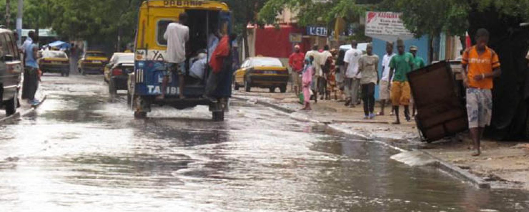
Jaxaay Project: cartography of flood zones, SENEGAL The country of Senegal, and more particularly the city of Dakar, has been subject to the recurring problem of flooding since 1989, a problem which has worsened over time due to strong urban pressure. A hydrological study has shown that 40 years ago Continue reading

Support to the reform (PAGEF), SENEGAL

Support to the reform (PAGEF), SENEGAL

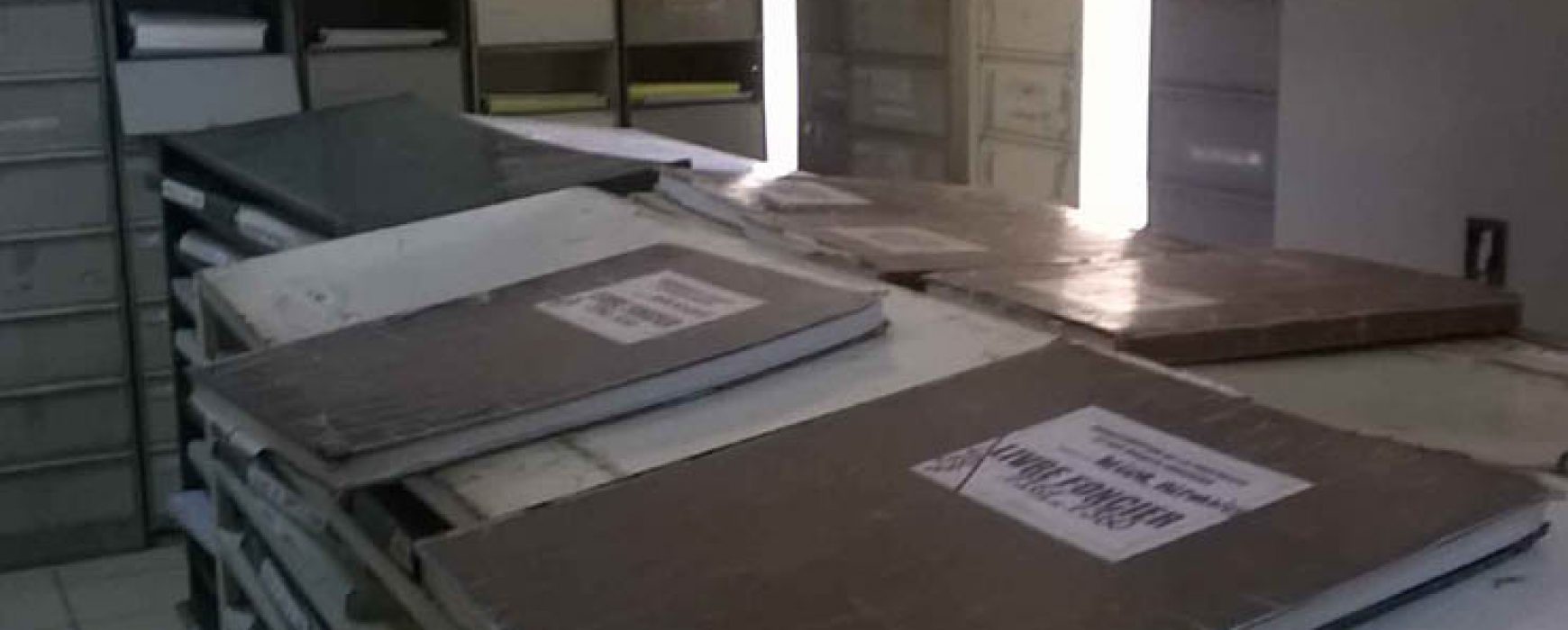
Project to provide support to the reform of urban land management (PAGEF), SENEGAL The country of Senegal stretches over a surface area of 196,722 sq.km and is made up of 11 regions which are subdivided into departments, communities, suburbs and rural communities. The specific geography of Dakar and its suburbs combined Continue reading

URBAN MAPPING DATABASE, SENEGAL

URBAN MAPPING DATABASE, SENEGAL

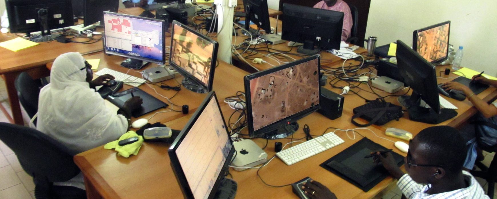
COMPLETION OF AN URBAN MAPPING DATABASE, SENEGAL The country’s main towns were lacking in both databases and accurate and up-to-date cartography. This project took place over 27 months and provided relevant information, initially to the National Sewerage Office of Senegal (ONAS) who chose the priority cities, to be used in Continue reading