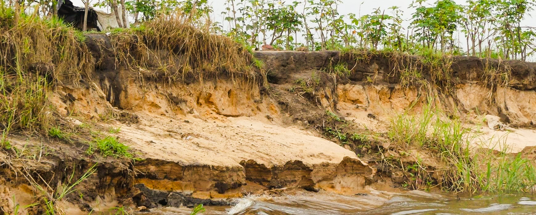
In Africa, various forms of vulnerability are likely to convert minor risk events into major disasters. The project’s general objective was to contribute to a better understanding of hazards, vulnerabilities, and risks in the Member States of the Economic Community of Central African States (ECCAS), to identify major hydrometeorological risk zones, and to facilitate decision-making for measures to protect the community’s populations and assets.


Africa
Multi-country
Risk Management
Context
The effects of demographic pressure, unplanned urbanization, biodiversity loss, soil and ecosystem degradation, climate change, and complex economic globalization trends can partly explain the increase and intensity of disasters worldwide.
Client
Economic Community of Central African States (ECCAS)
Zone
Angola, Burundi, Cameroon, Central African Republic, Republic of the Congo, Democratic Republic of the Congo, Gabon, Equatorial Guinea, Chad, Sao Tome and Principe, and Rwanda
Partner
BRLi (France)
Funding Agency
World Bank
Timeline
10/2019-04/2021

Missions
- Identify and map major hazards and risks covering the regional scope at the national level, relevant at least up to administrative level 2 in the ECCAS region: the project mobilized GIS/mapping experts, as well as hydrologists, climatologists, geologists, and environmental experts.
- Offer an opportunity for Central African stakeholders to build capacity in the field of hazard knowledge, vulnerability assessment, and risk analysis, including the use of relevant data and information: a documented digital database, including all collected, processed, and produced data, was designed, as well as a regional risk atlas covering the entire ECCAS area, with a focus on specific risk zones.
- Disseminate the results: during a regional seminar, with the training of 40 ECCAS experts, and the dissemination of a report including recommendations.
11
countries covered
8
international experts mobilized
40
people trained
Other references from the same sector

Spatial Observation of Central and West African Forests – OSFACO
Spatial Observation of Central and West African Forests – OSFACO
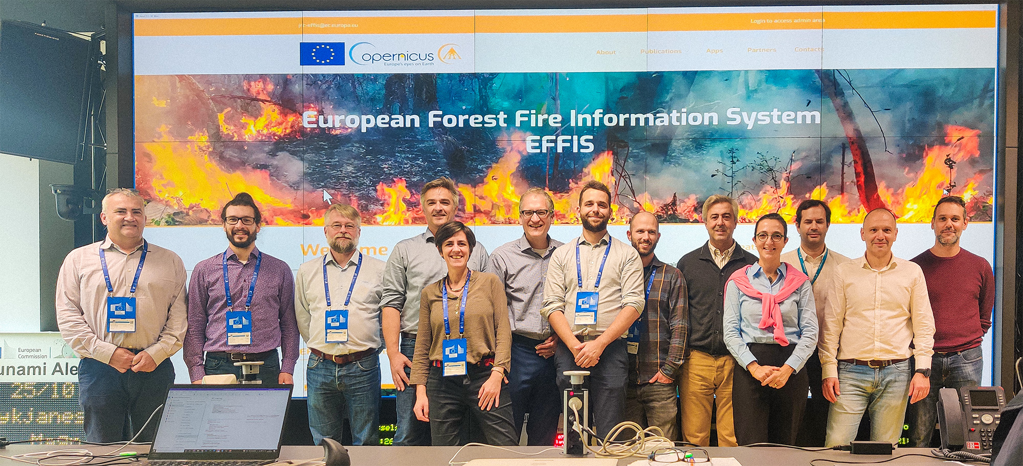
European Forest Fire Information System – EFFIS
European Forest Fire Information System – EFFIS
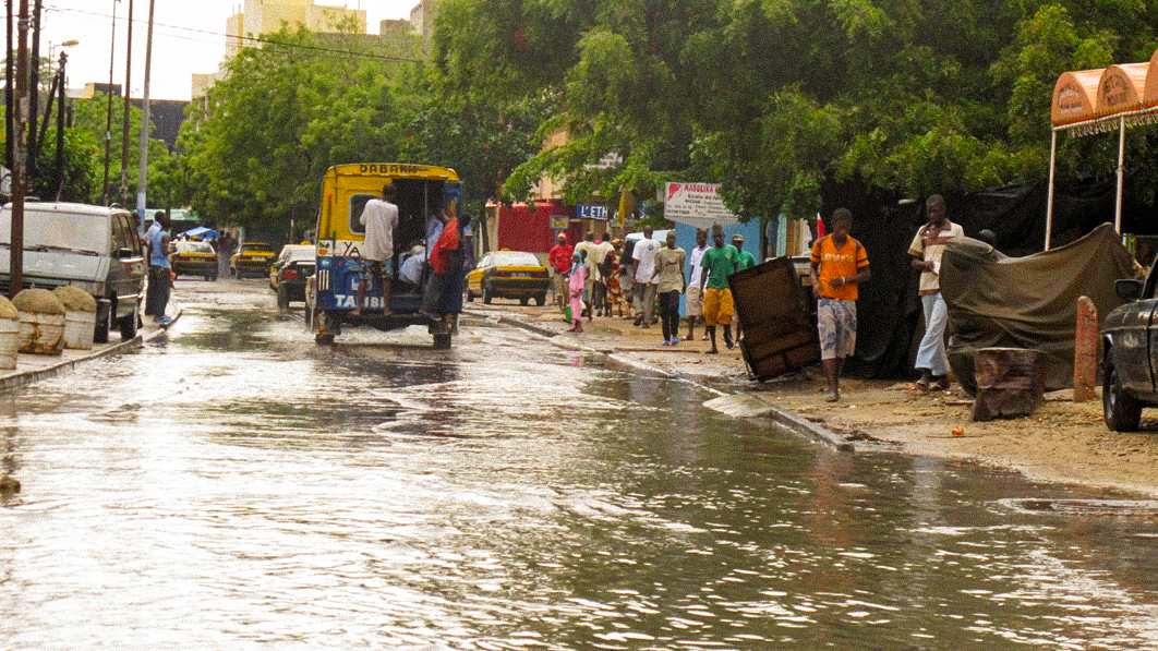
Integrated Flood Management in Senegal – PGIIS