However, despite its essential nature, the issue of “borders” continues to pose challenges for the governments involved. Relevant texts are often difficult to locate and interpret, cartographic reference systems vary across countries, and positioning methods have evolved. It is within this framework that IGN FI provided its technical expertise to the National Border Commission of Congo.

Africa
Congo
Defense
Context
For a state, precise knowledge of its territory is a crucial element in any development and security policy, whether it concerns the internal security of its inhabitants, economic security aimed at preserving its natural resources, or border security. This knowledge thus helps to prevent conflicts arising from territorial claims or land-use disputes, to control the flow of people and goods, and to combat illegal immigration and illicit trafficking, including wildlife poaching.
Client
Ministry of Interior and Decentralization, National Border Commission
Zone
Brazzaville + completion missions throughout the country
Partner
Progresys (legal training)
Funding Agency
Own funds
Timeline
9/2015-11/2016


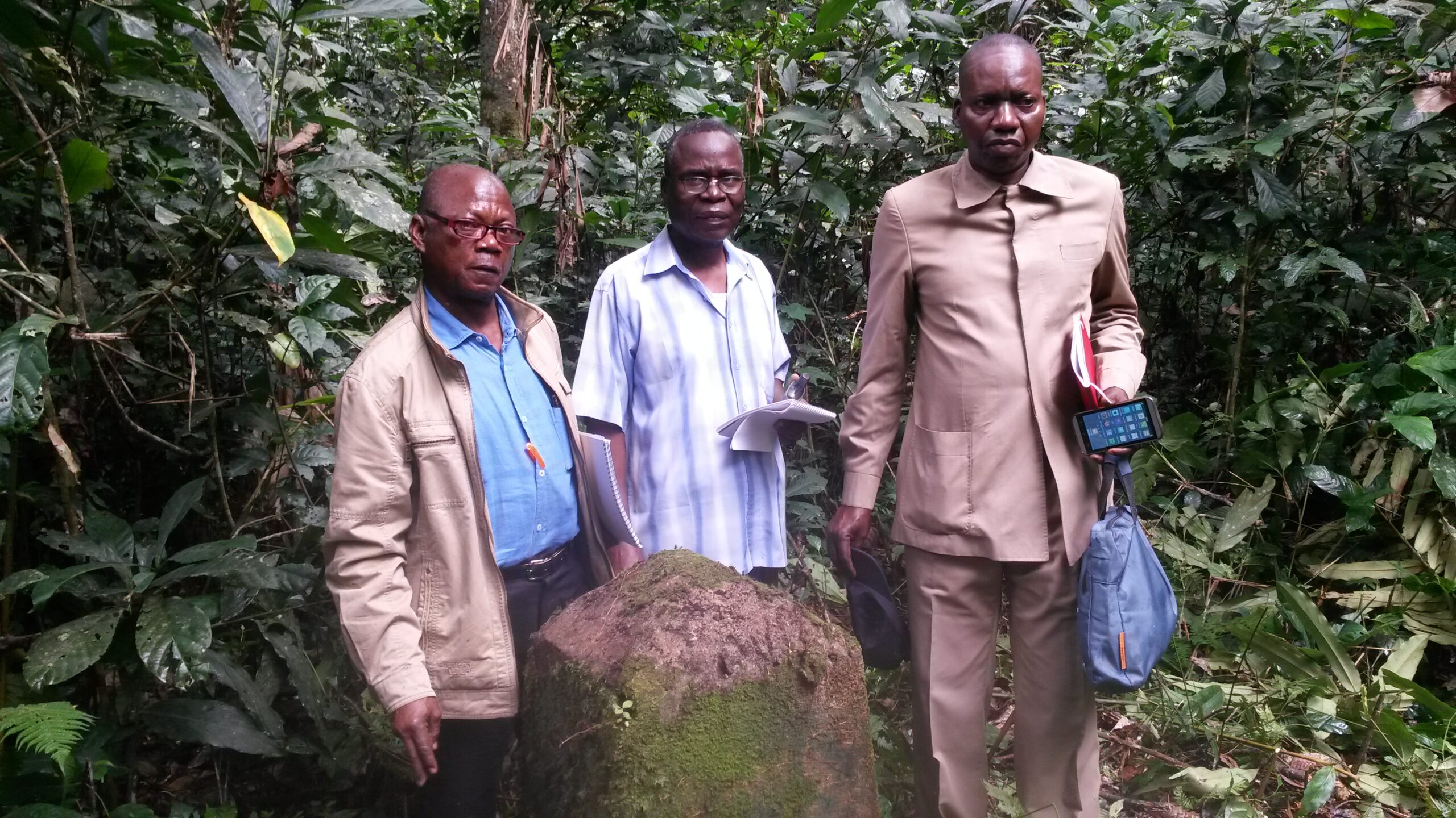
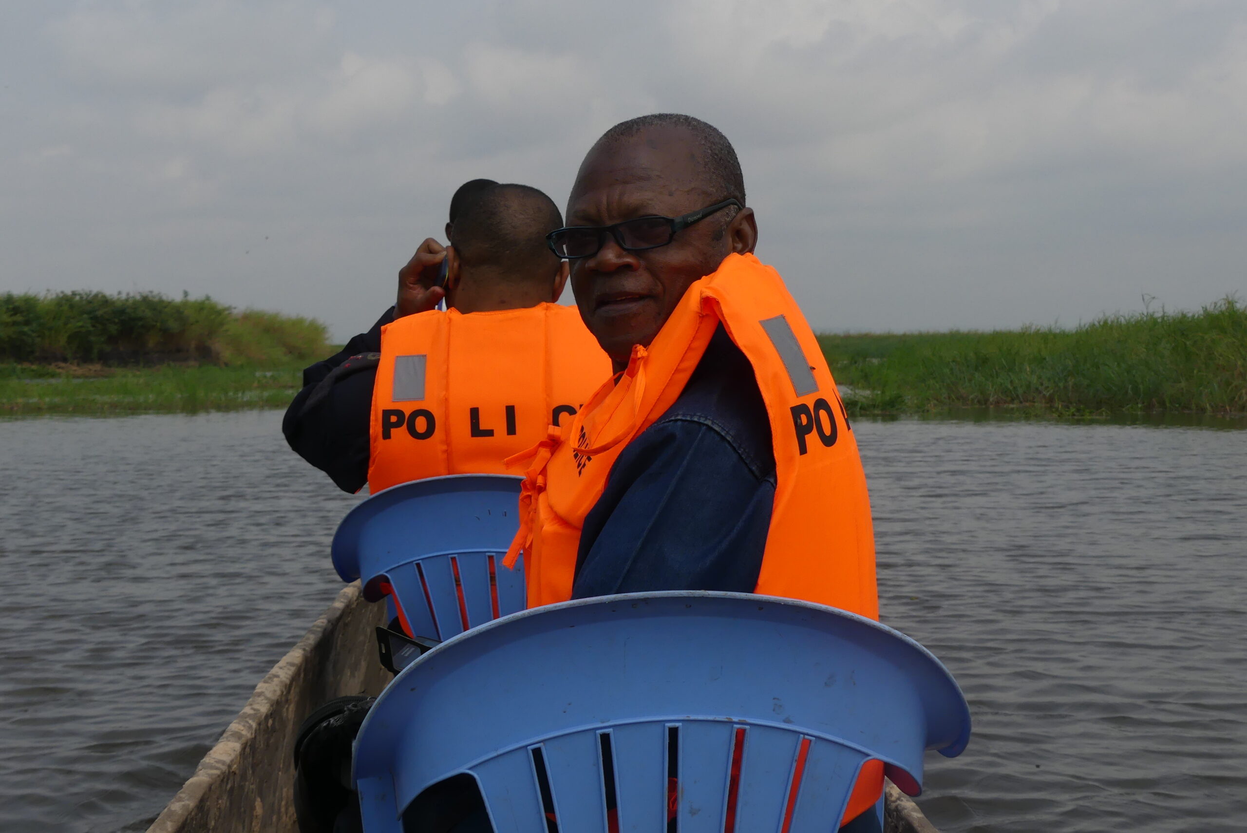
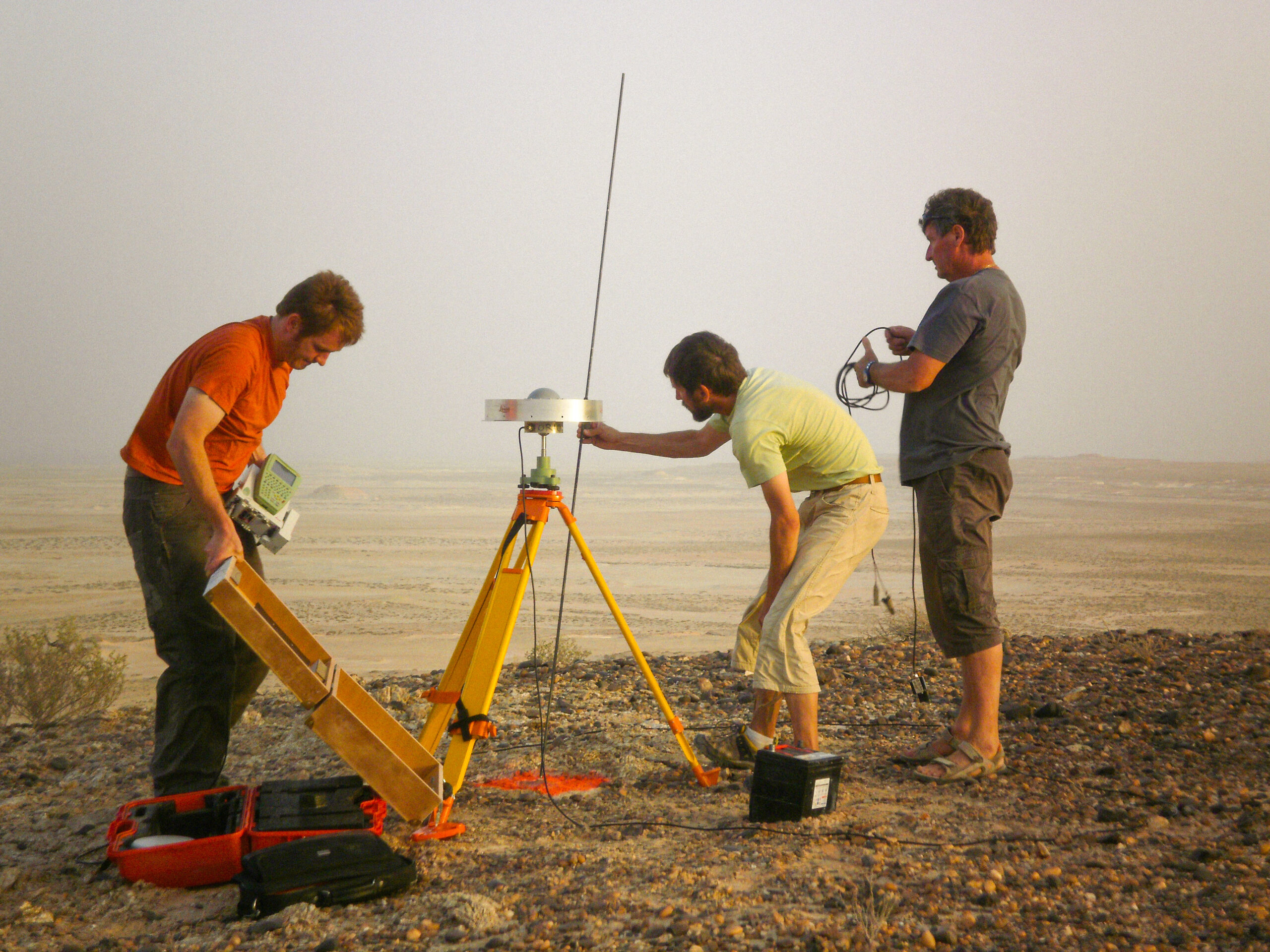
Missions
- Support for Congolese authorities in discussions with other border commissions of neighboring countries.
- Training: Training cycles covered technical aspects (review of basic concepts in geographic information, computer tool handling, map reading, imagery, remote sensing, 2D restitution, GPS surveys, and field completion) and training on legal aspects raised by the issue of land and maritime borders.
- Delimitation of maritime space: an orthorectified mosaic of the target area and bathymetric modeling using the Hedley radiance inversion method were carried out, as well as:
- A vector coastline, calculated using field measurements, image processing, and vegetation indices.
- A vector baseline (limit of the lowest astronomical tides).
- Vector limits of the maritime space in the target area, calculated according to different hypotheses.
- Working cartographic edition: cartographic products were produced for the 18 target disputed zones (at scales from 1:10,000 to 1:200,000 depending on the zones).
54
training days
30
people trained
7
speakers
4
field missions
+100 000
geographic entities identified during the digitization phase
Other references from the same sector

Land Borders and Delimitation of Maritime Space in Congo
Land Borders and Delimitation of Maritime Space in Congo
Border Demarcation between Saudi Arabia and Qatar