It enables states to have reliable, precise, and up-to-date data for informed decision-making. However, to be fully usable, this information must be qualified and structured, which requires high-level expertise.
Faced with increasing security risks, governments need to modernize their geographic infrastructure and train their staff in the production and use of reference geographic data.
As a leading organization in the development of international geomatics projects, IGN FI supports governments and international organizations in the production, analysis, and exploitation of geospatial data for intelligence, planning, and strategic decision-making purposes.
Our areas
of expertise
- National Geodetic Reference
- Data Sourcing and Qualification
- Data Acquisition
- Multi-source Data Fusion
- 3D/2D Modeling from Images
- Geographic Databases
- Cartography
- Quality Control
- Training & Technology Transfer
- GEOINT Units
- Geographic Web Portals
Our resources
Our references
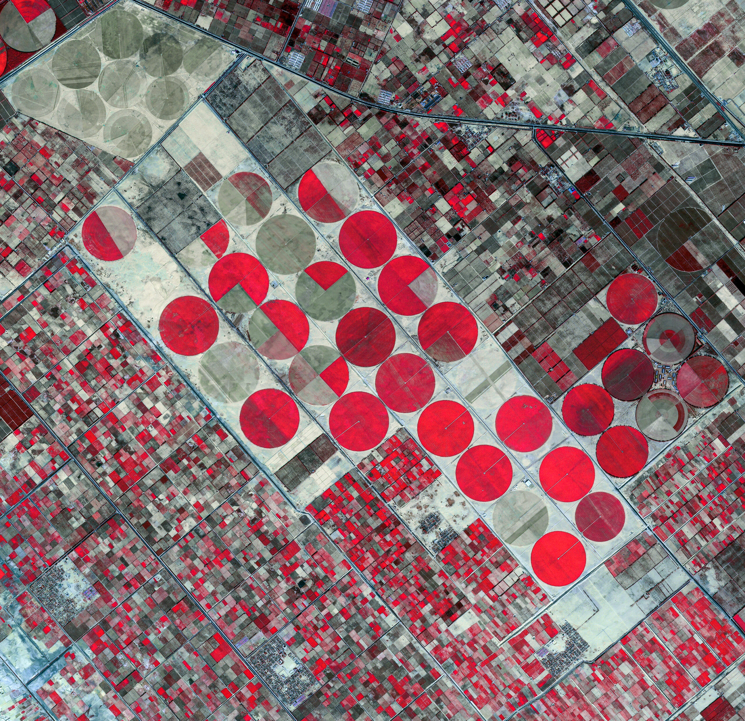
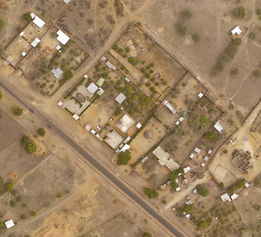
Monitoring and Evaluation of Arable Land – ALMA
Monitoring and Evaluation of Arable Land – ALMA
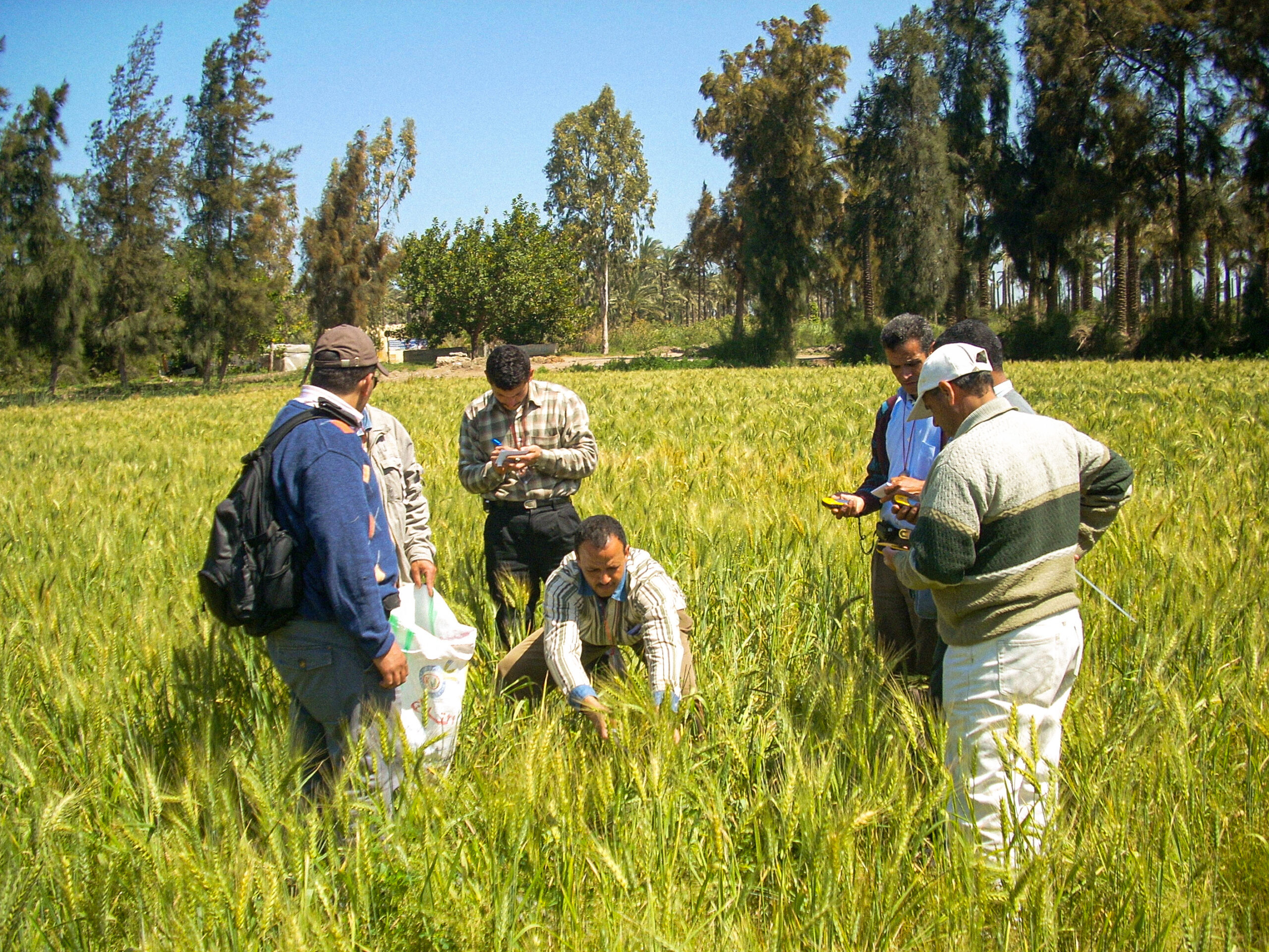
Crop Inventory in Egypt – CIPA
Crop Inventory in Egypt – CIPA

Land Borders and Delimitation of Maritime Space in Congo