At the European level, IGN FI has been a leading player since its creation in the development and validation of land cover databases such as CORINE Land Cover, which are now part of the extensive Copernicus program.
Outside Europe, IGN FI promotes this concept of environmental databases by adapting them to local specificities and developing multiple applications.
The production of geographic data and its integration into “business” applications to generate relevant indicators are intended to support stakeholders in the sector in their decision-making: agro-ecological zoning, monitoring of deforestation or forest degradation, ecosystem accounting, and other environmental analyses.
Our areas
of expertise
- Acquisition of satellite imagery or aerial photographs
- Image processing (radiometric and geometric)
- Processing and integration of data from various sources
- Production of databases and thematic maps
- Thematic inventories
- Statistical surveys (areas, yields)
- Verification and quality control of land use data
- Implementation of validation protocols according to international standards
- Development and implementation of thematic applications
- Theoretical and practical training
Our resources
Our references
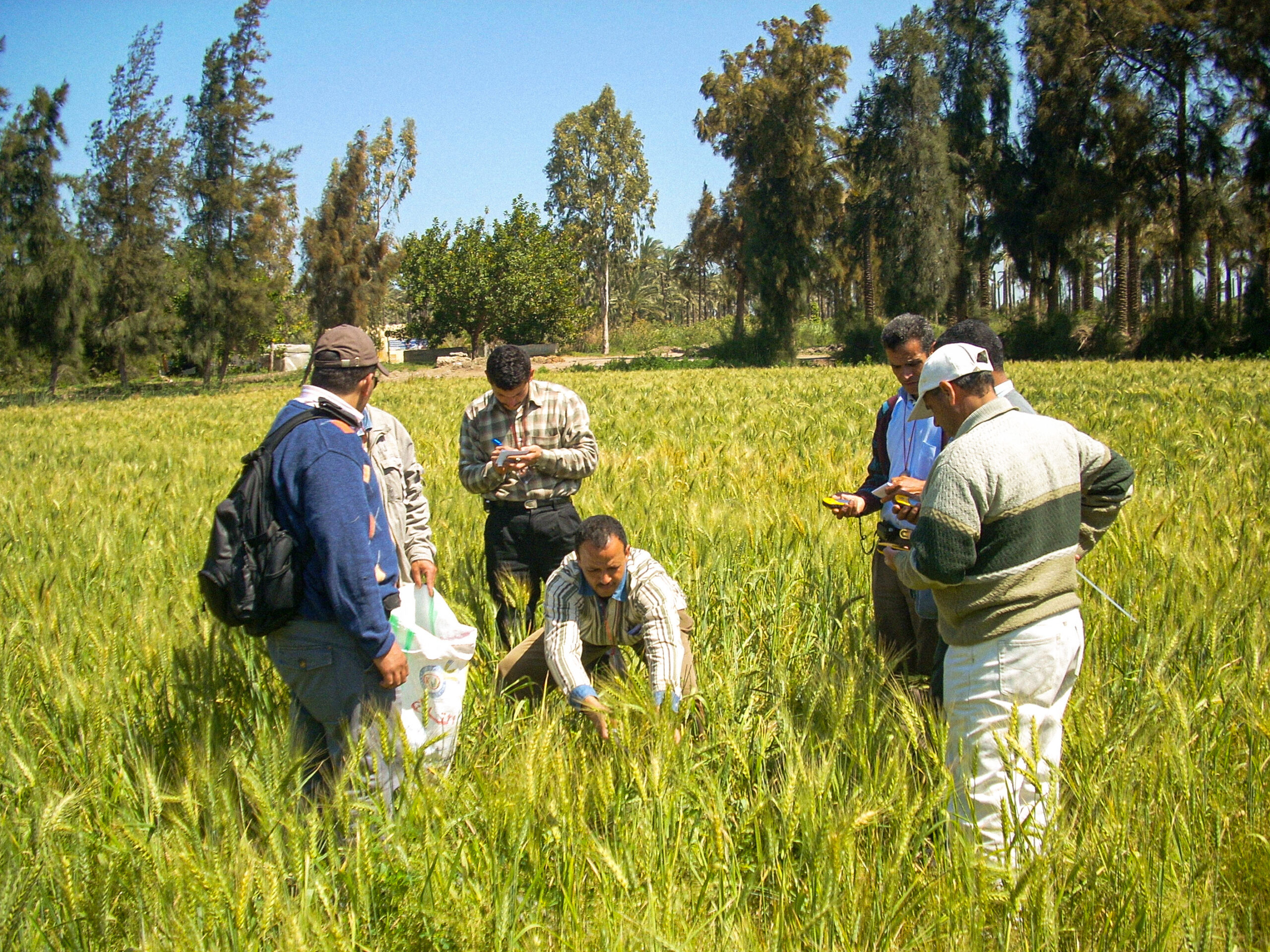
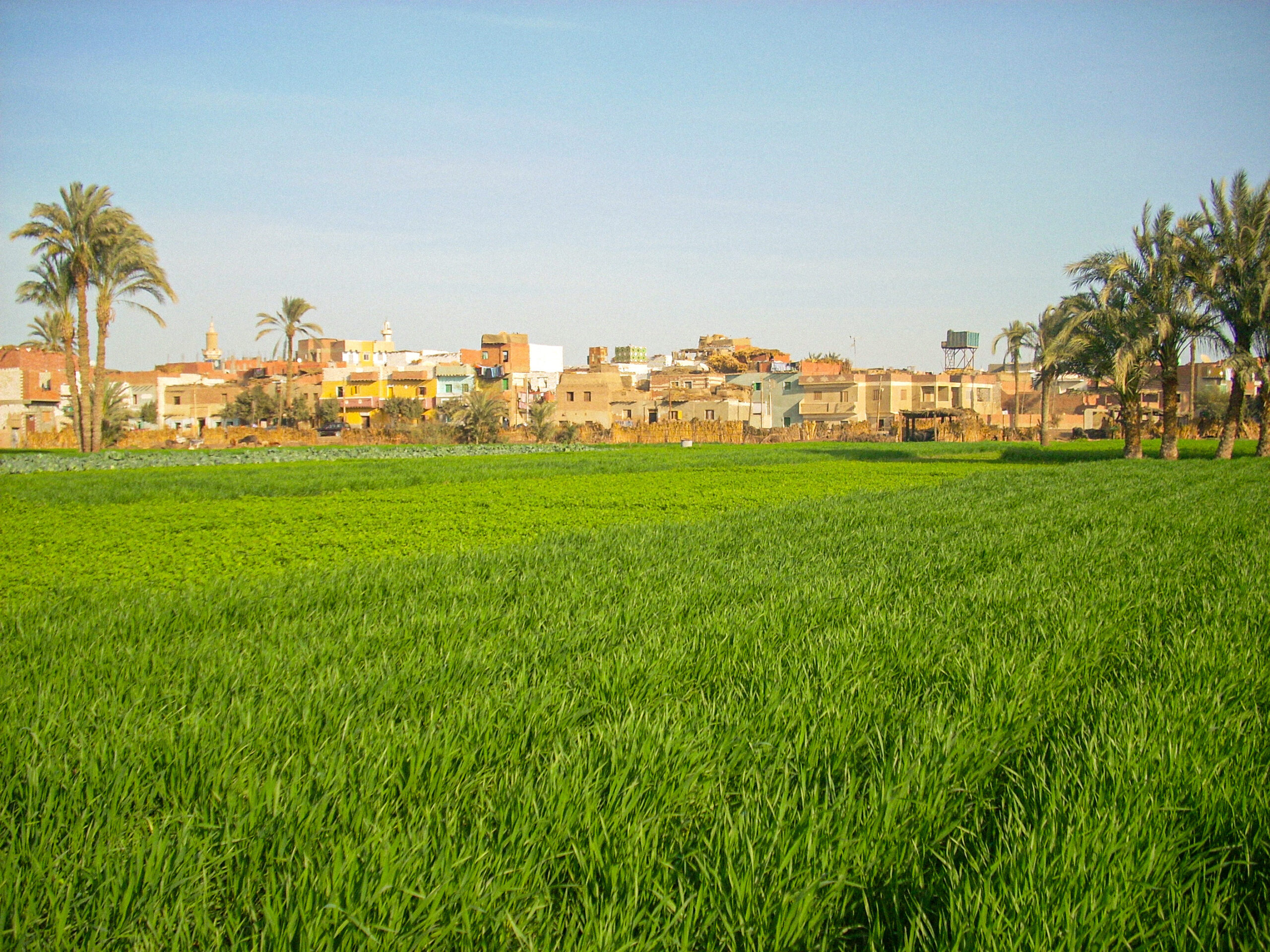
Crop Inventory in Egypt – CIPA
Crop Inventory in Egypt – CIPA
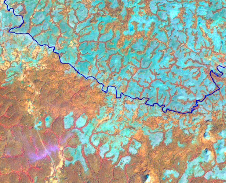
High-resolution monitoring of hotspots across more than 20 countries
High-resolution monitoring of hotspots across more than 20 countries
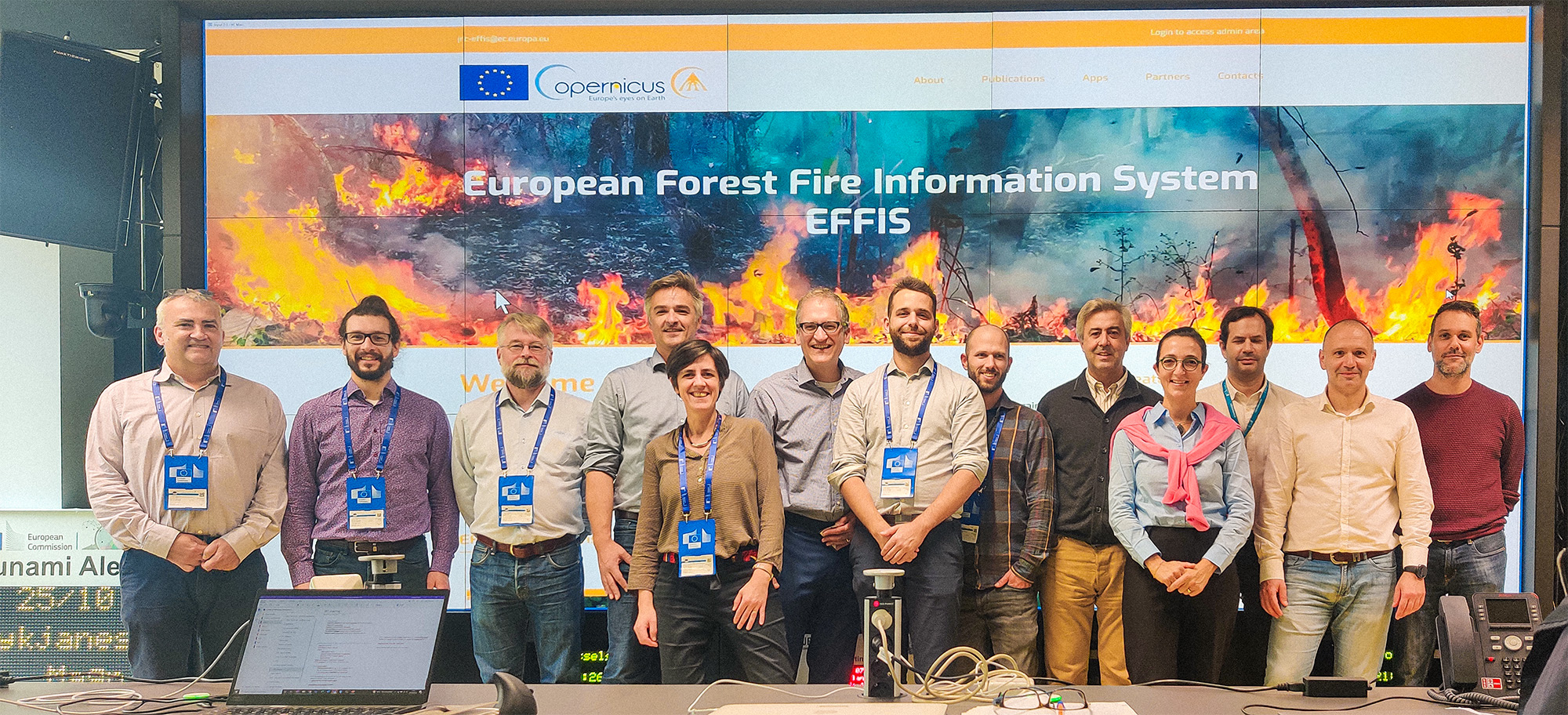
European Forest Fire Information System – EFFIS