The data produced also benefits the Ministry of Environment, Water and Forests as part of its international reporting obligations, particularly concerning biodiversity (CBD), land degradation (UNCCD), deforestation (UNFCCC), and wetlands (Ramsar Convention).


Africa
Guinea
Environment, Agriculture, Forestry
Context
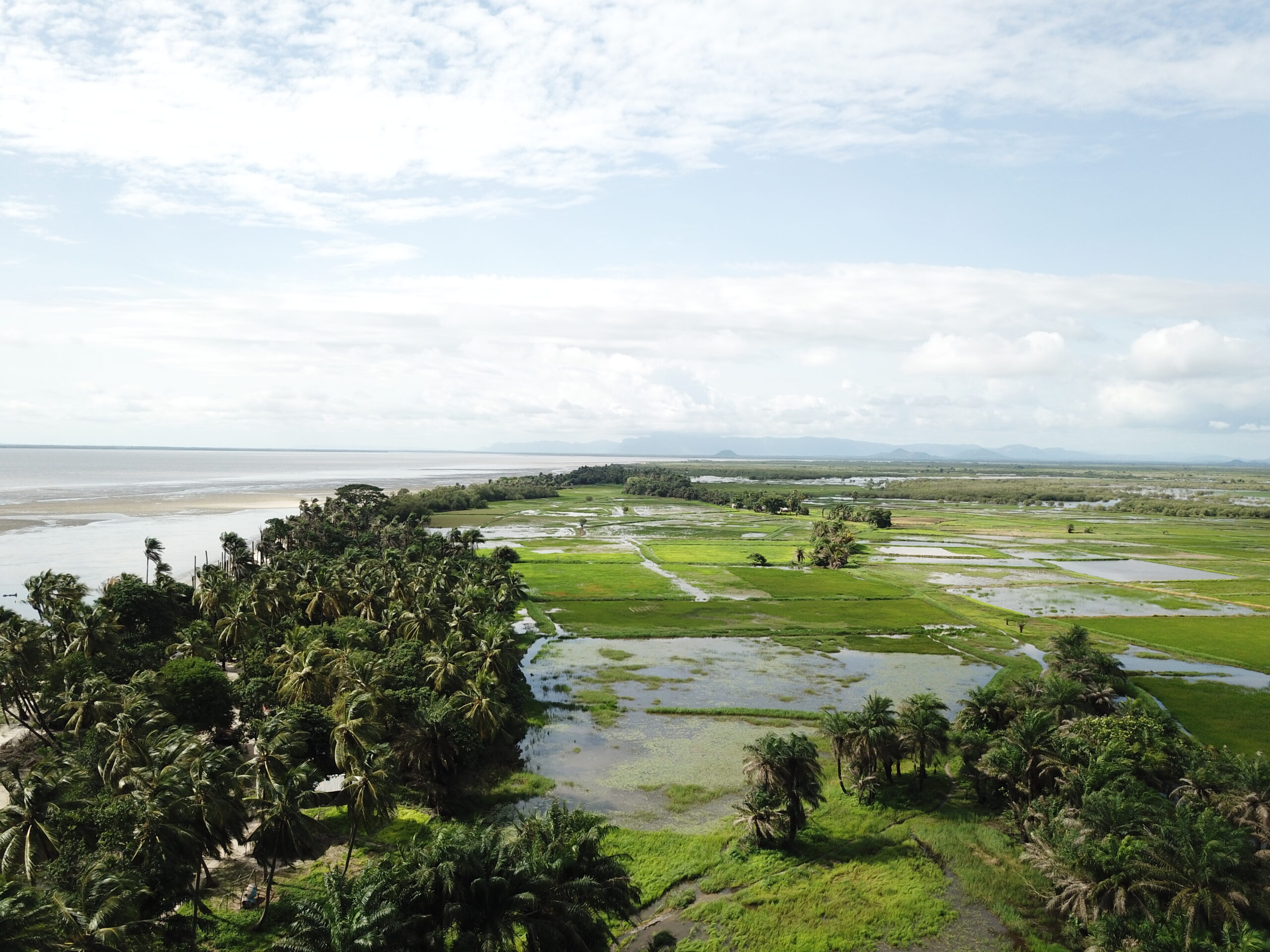
The Guinean Ministry of Agriculture, with the support of the French Development Agency (AFD), launched a project to develop nationwide agro-ecological zoning. This project aims to identify and quantify current agricultural areas and agricultural potential, and to map land use and its dynamics over a 15-year period.
Client
Ministry of Agriculture of the Republic of Guinea
Zone
Guinea - National Territory
Partner
CIRAD
Funding Agency
AFD - French Development Agency
Timeline
02/2018-10/2022


Missions
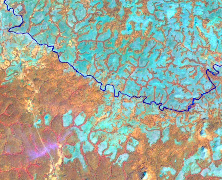
The agro-ecological zoning project involved establishing an environmental information and observation system in Guinea, following the European Corine Land Cover model. This objective, exhaustive, and recent land use information serves as a basis for a multitude of environmental applications and numerous multi-criteria analyses.
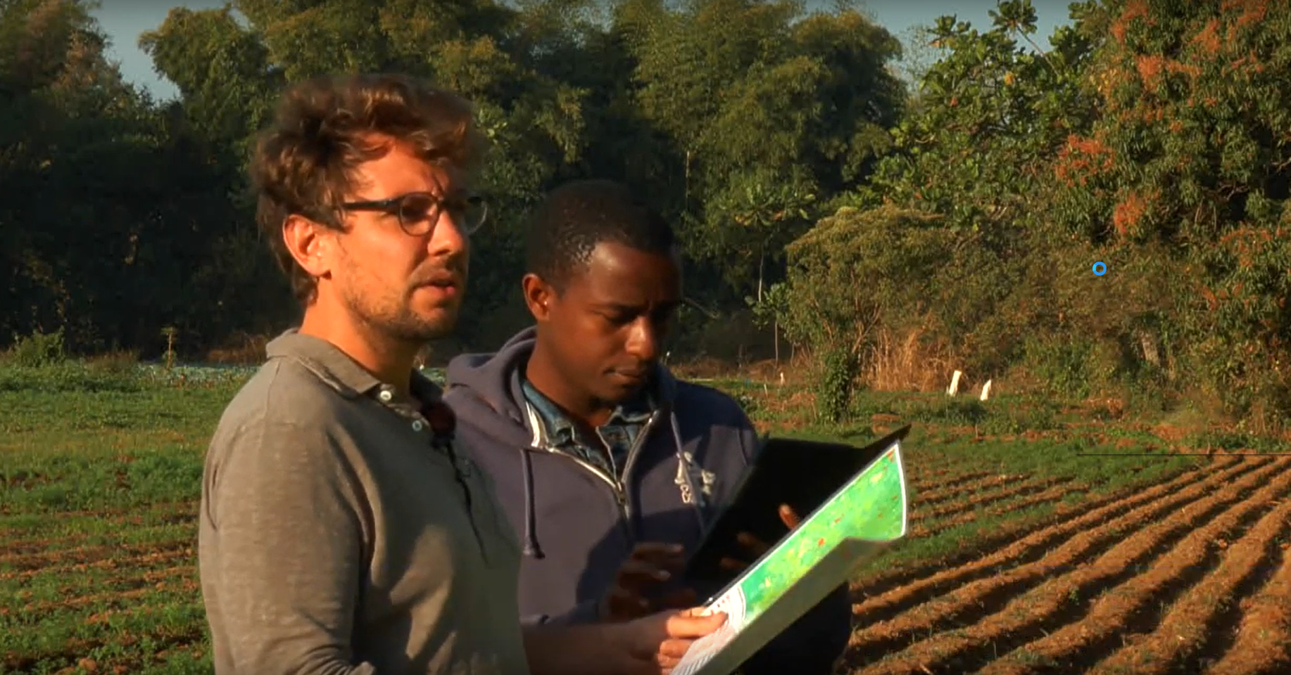
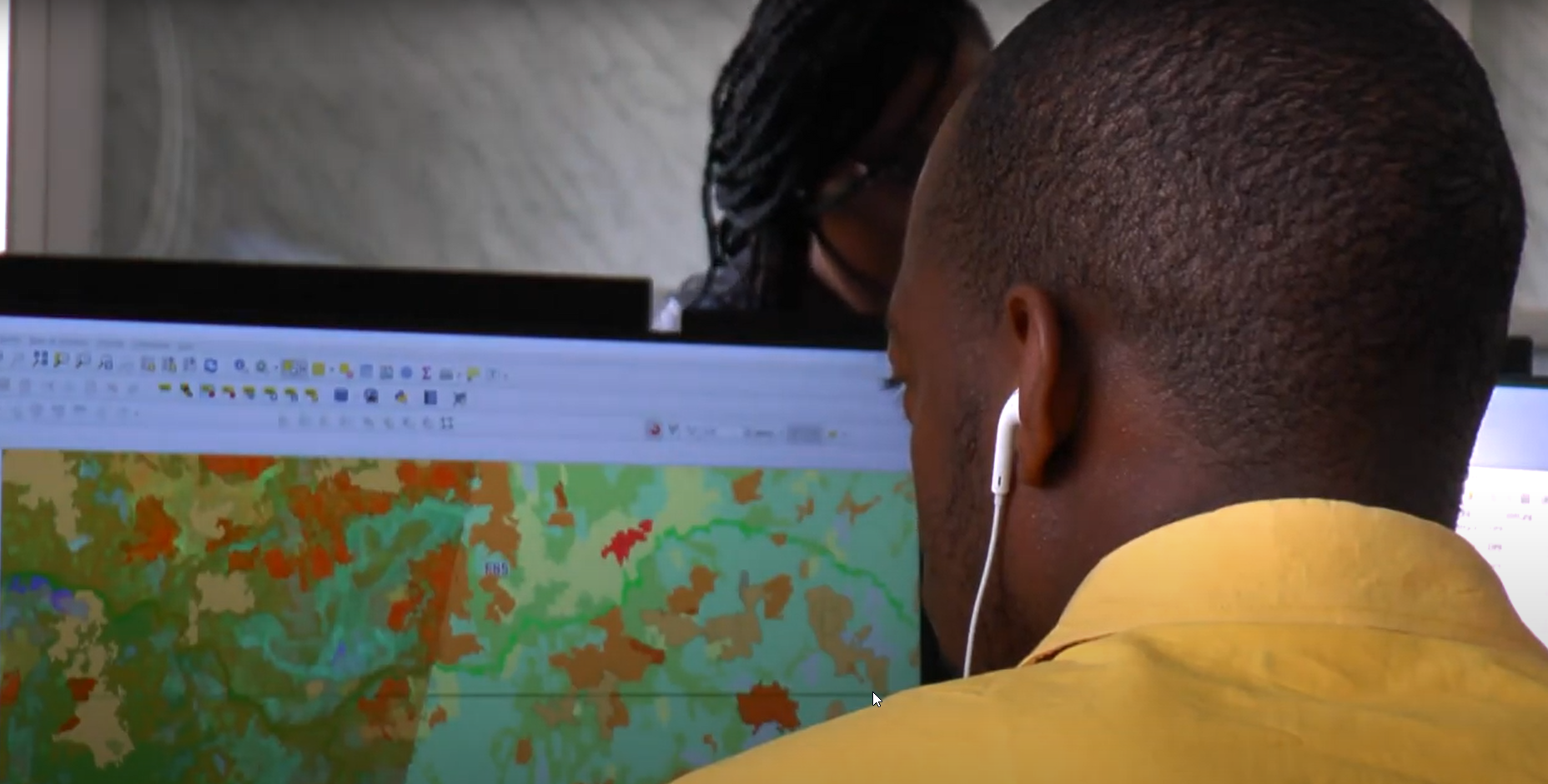
- The establishment of the land use and change monitoring database relied on the use of high-resolution satellite imagery, whose repetitiveness allows for regular updates, ensuring the relevance of the information at all times. This establishment, through technology transfer, empowered the Guinean teams in creating this database. This support was provided throughout the two phases of the project (pilot phase then national production phase).
- The development of several applications from this database on various themes (agricultural or other) was determined with the Guinean teams, to demonstrate the utility of this tool in managing space and natural resources, and thus encourage the ministries concerned to develop other applications based on their specific issues.
- The creation of a print and digital agro-ecological atlas showcasing all cartographic work carried out: land use, cultivated areas, agricultural potential, agro-climatology.
- Complete technical and technological transfer and upskilling of a Guinean national team in the field of remote sensing, land use, and geographic information systems (GIS).
15
years of dynamics monitoring
12
international experts
5
involved sectoral ministries
Other references from the same sector
National Forest and Wildlife Inventory of Côte d’Ivoire – IFFN
National Forest and Wildlife Inventory of Côte d’Ivoire – IFFN
High-resolution monitoring of hotspots across more than 20 countries
High-resolution monitoring of hotspots across more than 20 countries
Crop Inventory in Egypt – CIPA