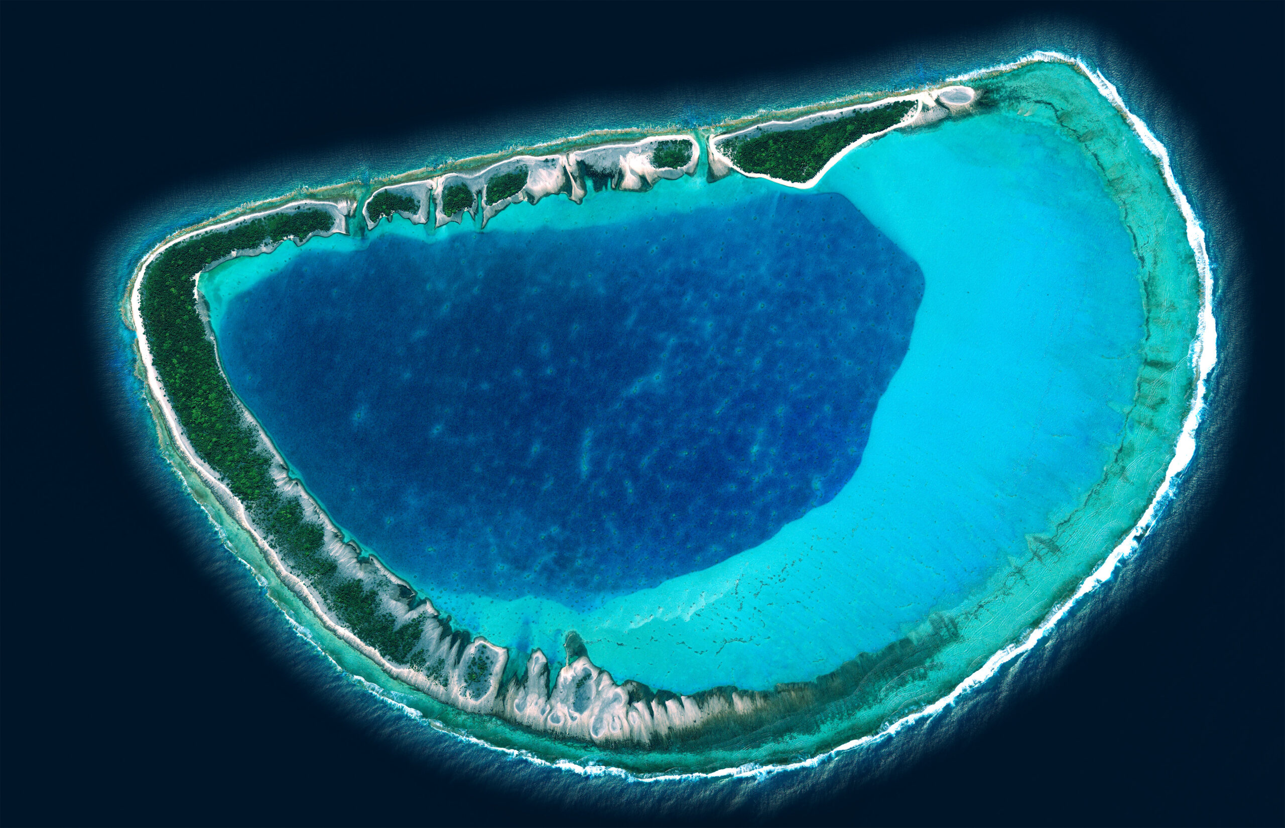
The mapping was based on the acquisition of SPOT 6/7 imagery and the production of derived data: Digital Surface Model (DSM), Digital Terrain Model (DTM), orthophotography, vector database, toponymy, etc.

Middle East
Saudi Arabia
Cartography and spatial data infrastructures
Context
As part of the production of 11,500 topographic maps covering the entire territory of the Kingdom of Saudi Arabia (approximately 2 million km²) at a scale of 1:25,000, the General Commission for Survey (GCS) awarded IGN FI a technical support project. This project involved implementing a quality assurance (QA) process for the various products comprising this mapping chain.
Client
General Commission for Surveying (GCS)
Zone
Kingdom of Saudi Arabia
Partner
LADEC (Burundi)
Funding Agency
General Commission for Survey (GCS)
Timeline
09/2017-09/2019

Missions
Throughout the project, the quality assurance (QA) results were based on ISO-compliant sampling of the data obtained for each project task, as well as any product derived from this data.
- Development of semi-automatic QA control scripts for most of these products by the IGN FI expert team, with the aim of obtaining statistical indicators compliant with sampling methodologies and the acceptance of deliverables according to ISO standards.
- Quality assurance plan and QA evaluation report on the project’s production model / technical specifications.
- QA on aerial triangulation production, including a technical report on SPOT 6 & 7 imagery provided to the project by the GCS, design of a ground control point network for the triangulation of project imagery, and triangulation of project imagery to ground control points provided by the GCS.
- QA on project imagery and mapping production, including DSM, DTM, orthorectification of project imagery to the DTM, with cartographic overlay of hydrographic, transportation, and construction elements, contour lines, cast shadows, and the toponymy database provided by the GCS.
- Provision of all project deliverables in the central database at the GIC. The files are interoperable with the GCS geoportail.
11 500
maps
18
QA reports on aerial triangulation
126
QA reports on project imagery
Other references from the same sector

Mapping Update in Senegal
Mapping Update in Senegal
Geodetic and Cartographic Works in French Polynesia
Geodetic and Cartographic Works in French Polynesia

Quality assurance for the topographic database of Saudi Arabia