It involved producing a database and a new topographic map of the country, to provide various sectors (hydraulics, roads, water and forests, mining, statistics, agriculture, energy, tourism, Niger Office, etc.) with a common and coherent cartographic reference system that would become the gateway for data and information exchange and integration.


Africa
Mali
Cartography and spatial data infrastructures
Context
The base map had not been updated for several decades, and the Mali Geographic Institute, due to a lack of technical resources, was no longer able to fully carry out its sovereign mission of producing, disseminating, and preserving reference cartography. It was in this context that the project to update the 1:200,000 topographic map and modernize the cartographic institute was launched.
Client
Mali Geographic Institute (IGM)
Zone
Mali
Partner
GEOFIT
Funding Agency
European Union
Timeline
10/2012-09/2016


Missions
- Support to the contracting authority for the acquisition, reception, and installation of hardware and software
- Acquisition, validation, and processing of satellite images covering the entire territory
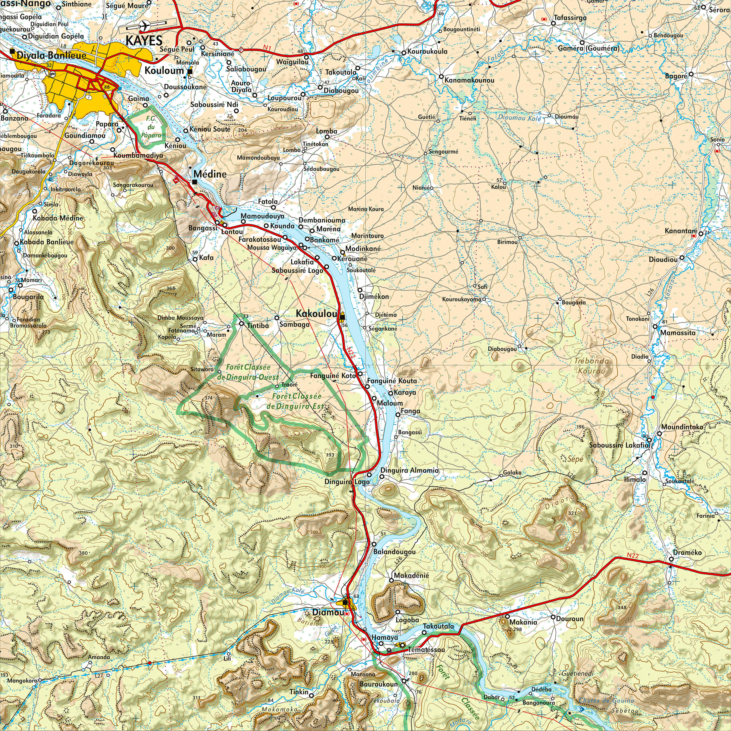
- Production of the national vector database at 1:200,000
- Production of 1:200,000 scale maps following the methodology defined by IGN FI
- Development of derived digital products and services (geocatalogue and geoportal)
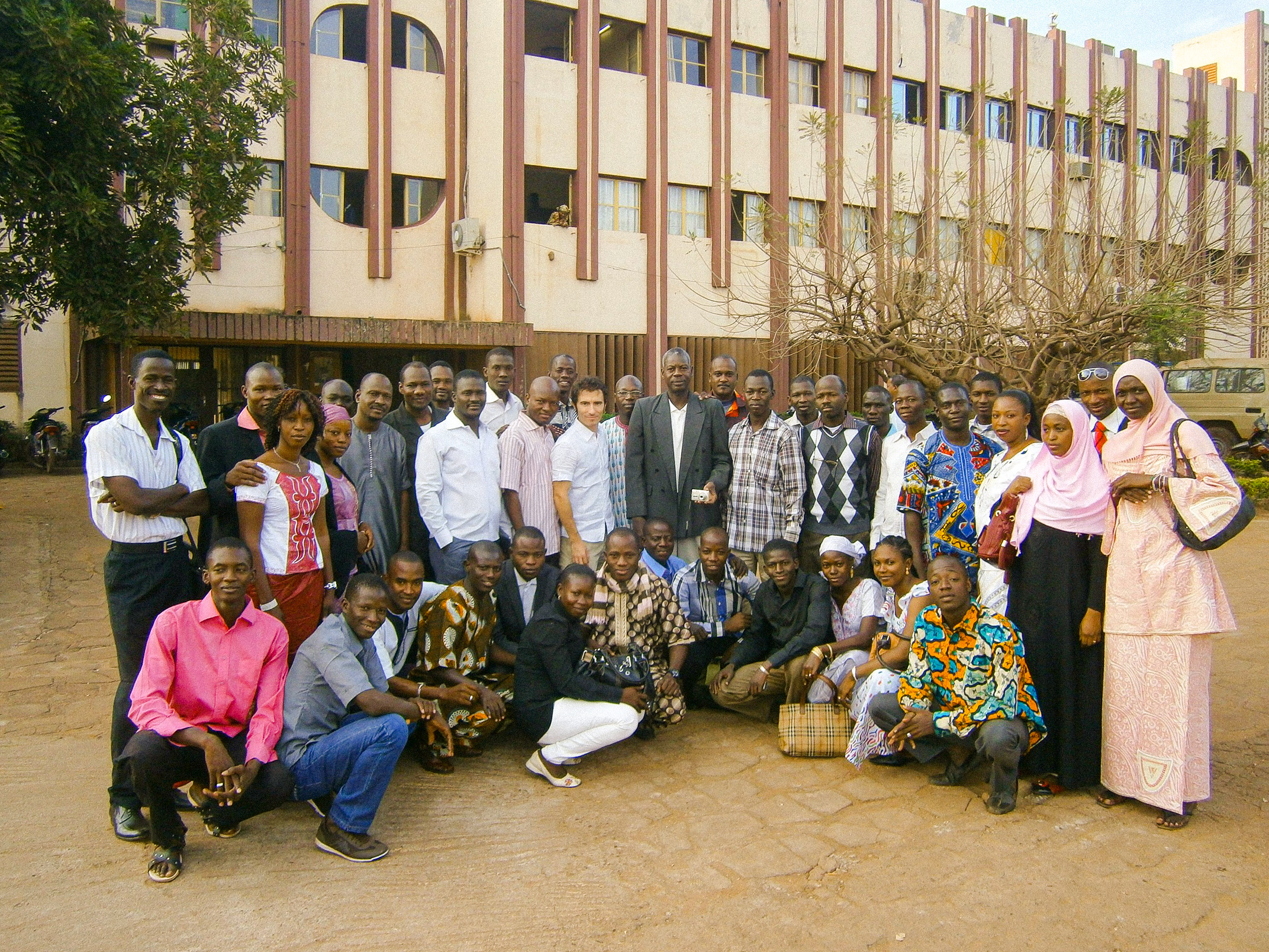
- Modernization of the IGM and strengthening of its capacities
1.24 M
km² covered by SPOT 6 imagery and mapped
9
IGM staff trained in France
118
restored maps at 1:200,000
+40 000
place names checked, standardized, and georeferenced
60 %
of the country’s area referenced in a land use database
15
experts mobilized for over 1,500 days of technical assistance
Other references from the same sector
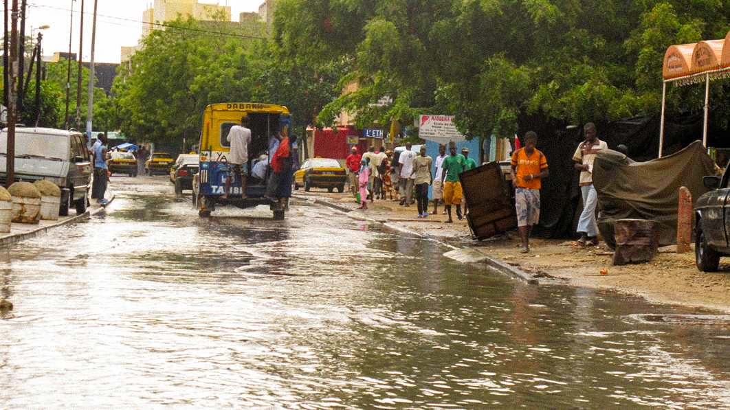
Integrated Flood Management in Senegal – PGIIS
Integrated Flood Management in Senegal – PGIIS
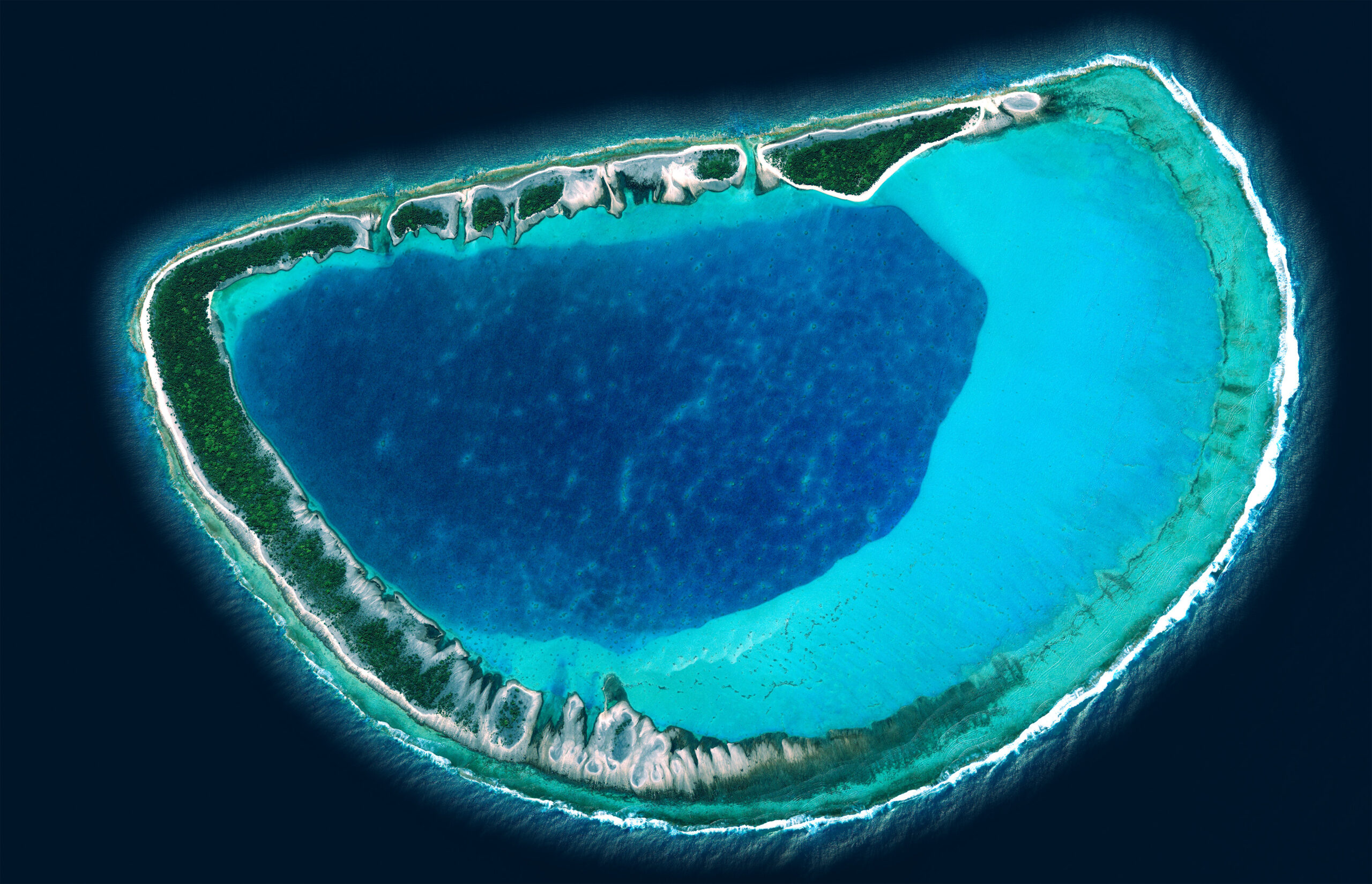
Geodetic and Cartographic Works in French Polynesia
Geodetic and Cartographic Works in French Polynesia
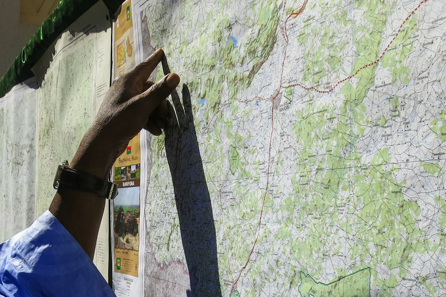
Updated cartography of Burkina Faso