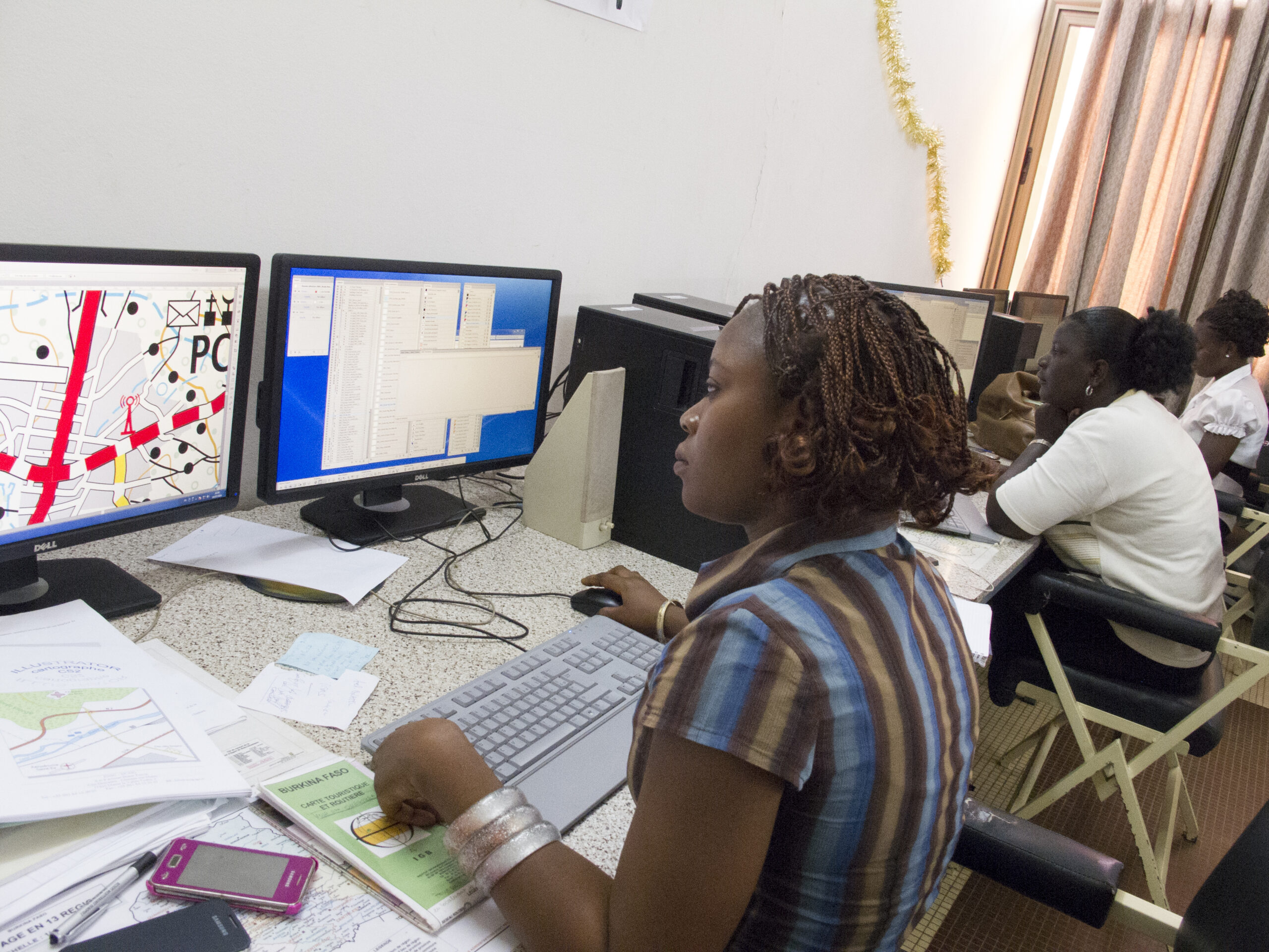
The database produced can be superimposed on the land use database, forming a set of complementary and coherent information layers. Production was carried out entirely at the IGB by its own staff, using a methodology and equipment supplied by IGN FI, which also provided technical assistance throughout the project to guarantee the transfer of know-how.


Africa
Burkina Faso
Cartography
Context
The project has made it possible to update the national 1:200,000 cartographic coverage, providing the various sectors (infrastructure, land, statistics, rural development, social facilities, environment, etc.) with a common, coherent and up-to-date cartographic reference frame.
Client
Institut Géographique du Burkina (IGB)
Area
Burkina Faso
Funding agency
European Union (EDF)
Timeline
02/2011-02/2015


Missions
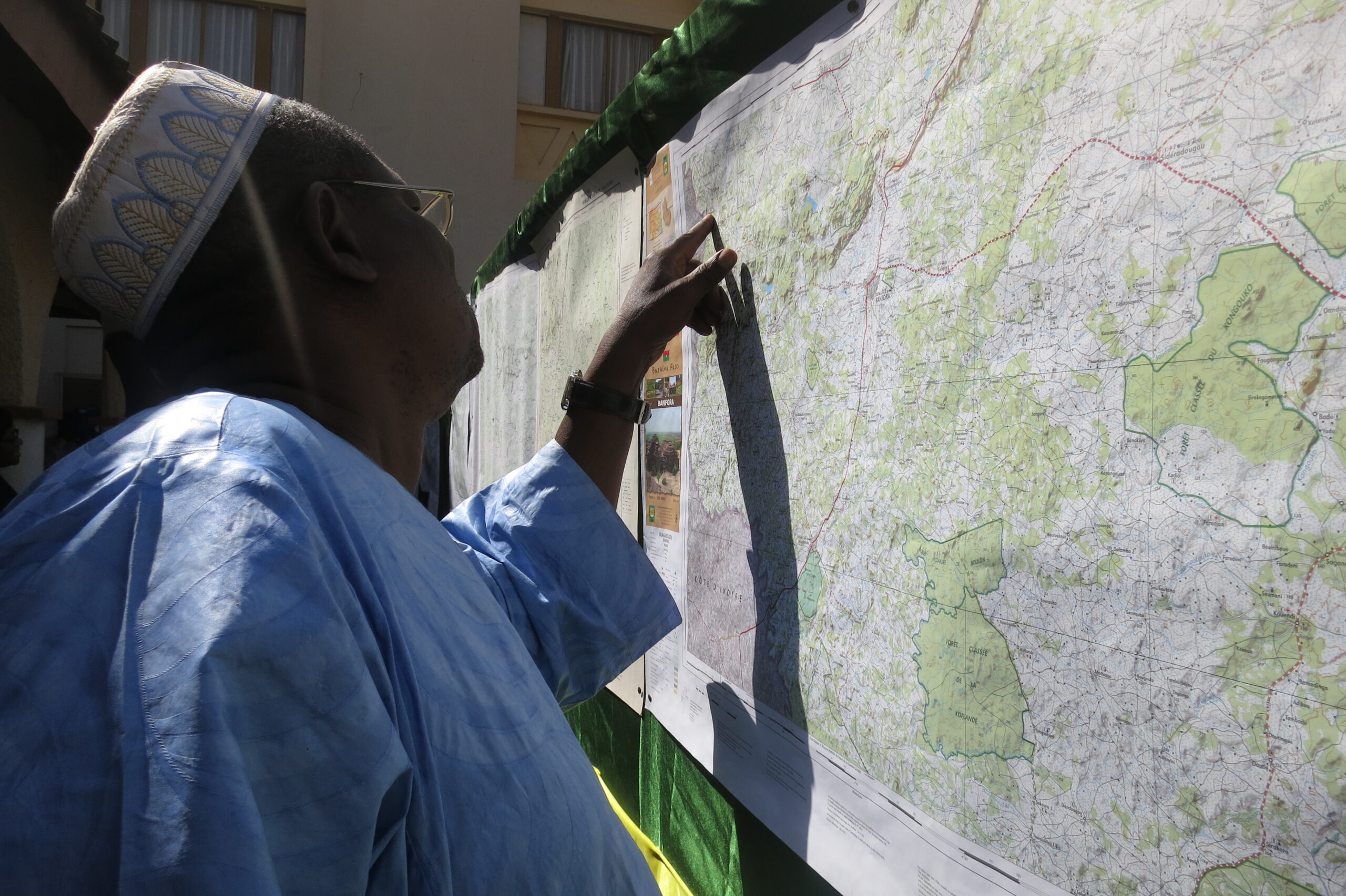
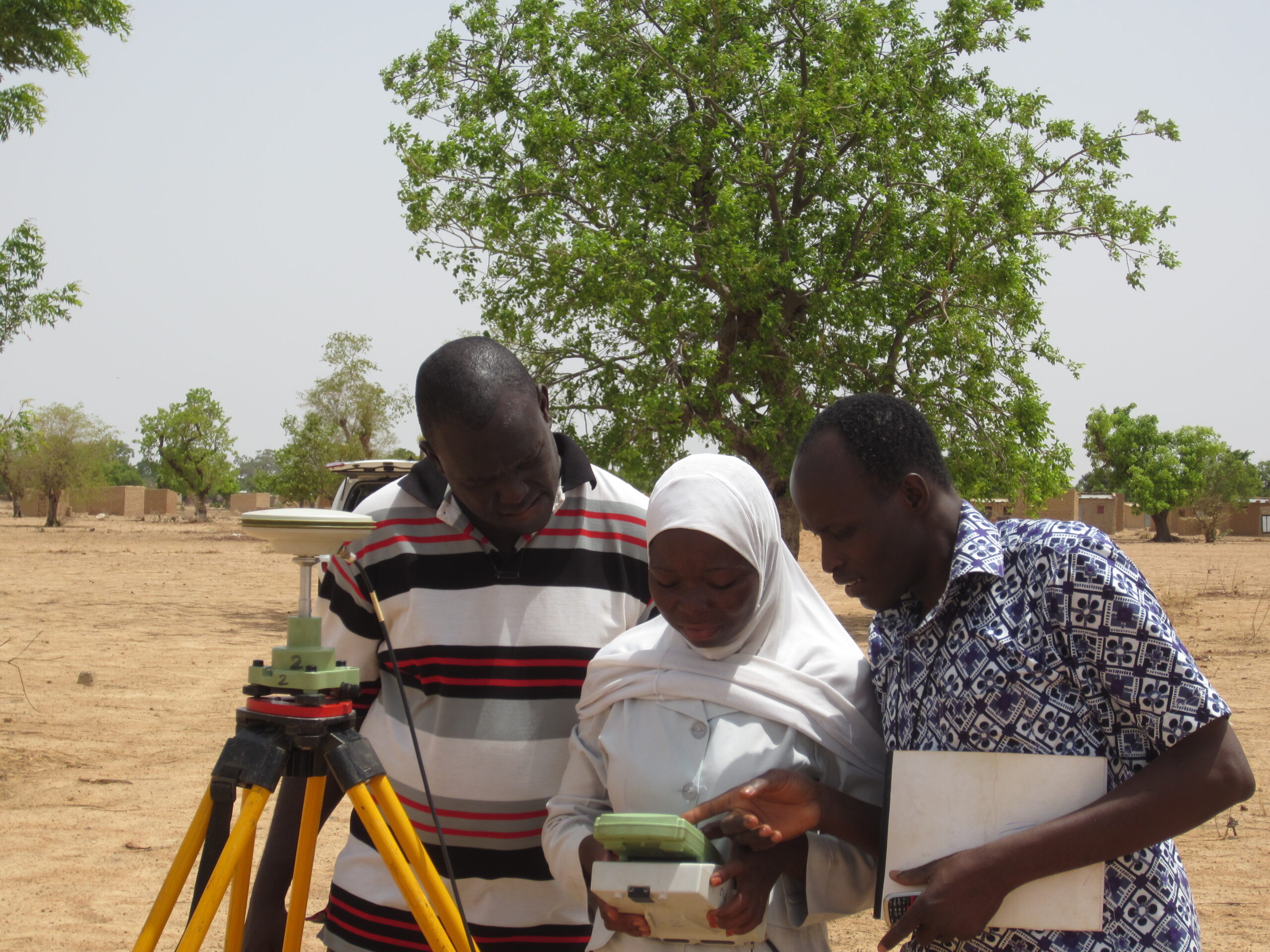
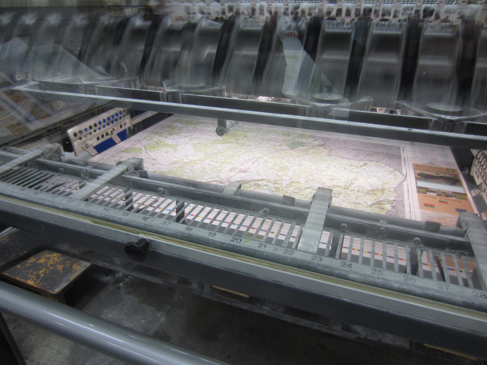
- Production of 1:200,000 topographic maps covering the whole of Burkina Faso, updated from satellite images.
- Production of a paved orthoimage covering the whole country with homogeneous radiometric coverage and 5-meter resolution.
- Design of an updated national topographic database (NTDB) consistent with Burkina Faso’s land-use database and its metadata.
- Generation of derivative products: a 1:1,000,000 road and tourist map, a 1:200,000 road atlas, 1:300,000 wall assemblages.
- Raising awareness of national and local players to the use of cartographic products, organization of seminars to share and exchange results, and an official project closing ceremony.
+27
new 1:200,000 maps covering the entire country
1
Road and tourism atlas
17
training
Other references in the same sector
Massive Land Certification Operation and Support for Land Offices – CASEF
Massive Land Certification Operation and Support for Land Offices – CASEF
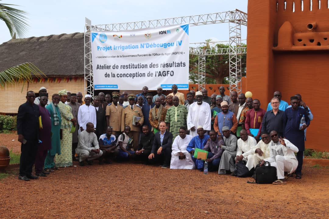
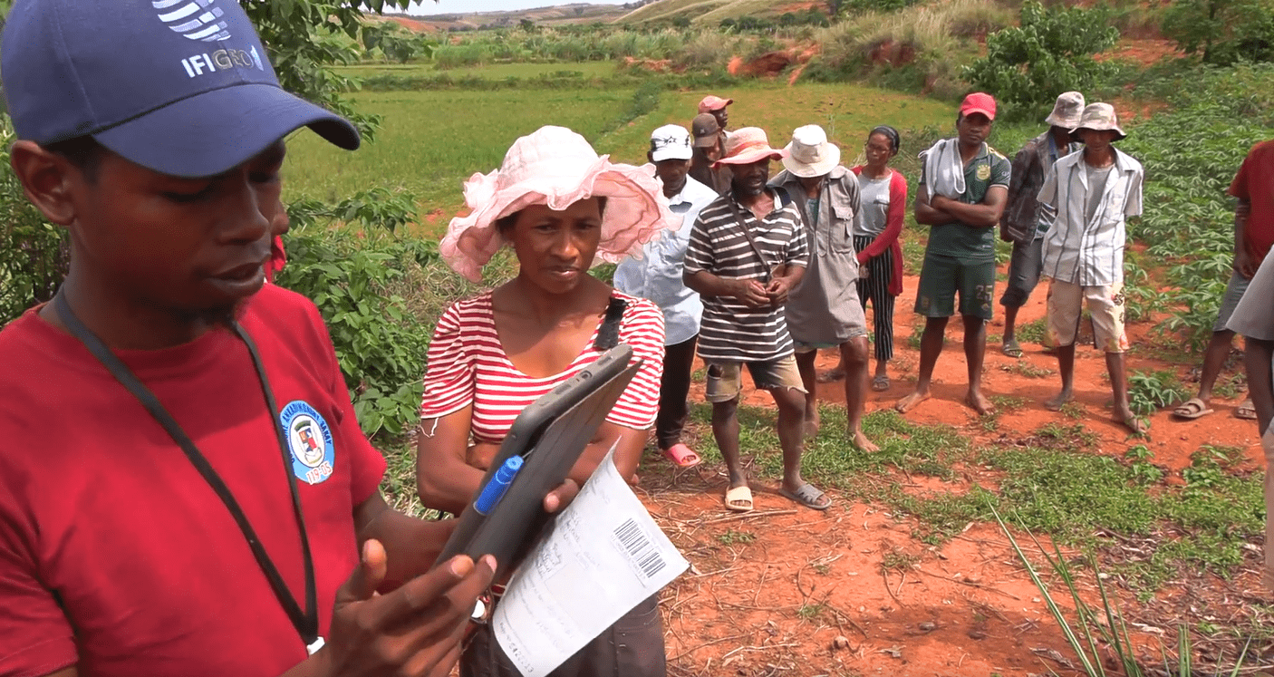
Land governance of the irrigation project in Mali
Land governance of the irrigation project in Mali

Modernizing land administration in Mozambique