The various GNSS (Global Navigation Satellite System) systems now make it possible to achieve accuracies of a few millimeters. Thanks to them, geodesy, the mathematical determination of the Earth’s shape, provides cartographers and planners with increasingly precise reference points every day.
The United Nations adopted a resolution affirming the importance of geodesy in Sustainable Development and encourages member states to have a modern, precise, and universally accessible reference system.
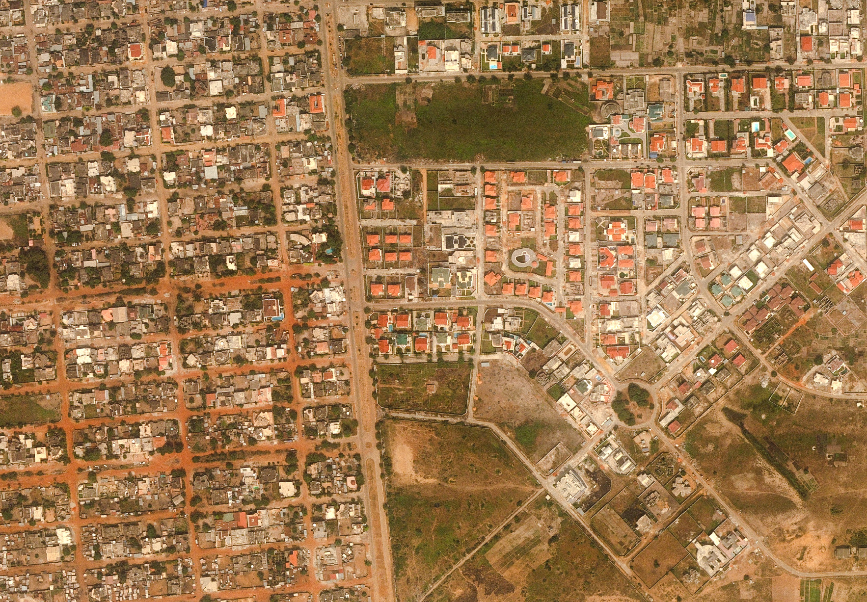
The rehabilitation of a country’s geodetic network is therefore absolutely fundamental for its development, given the wide range of sectors concerned: land management, urban planning, sanitation, transport, as well as border management and thus national security.
IGN FI provides services in the field of geodesy and metrology with the support of internationally recognized scientists and the practical experience of IGN’s geodesy and metrology department.
Our Areas
of Expertise
- Installation of permanent station networks
- Calculation of a new reference system
- Measurements and calculations of centimeter-precision geoids
- Calculation and implementation of border demarcation
- Development of coordinate transformation tools from an old local or national system to a system compatible with international references
- Technology transfer
- Theoretical and practical training