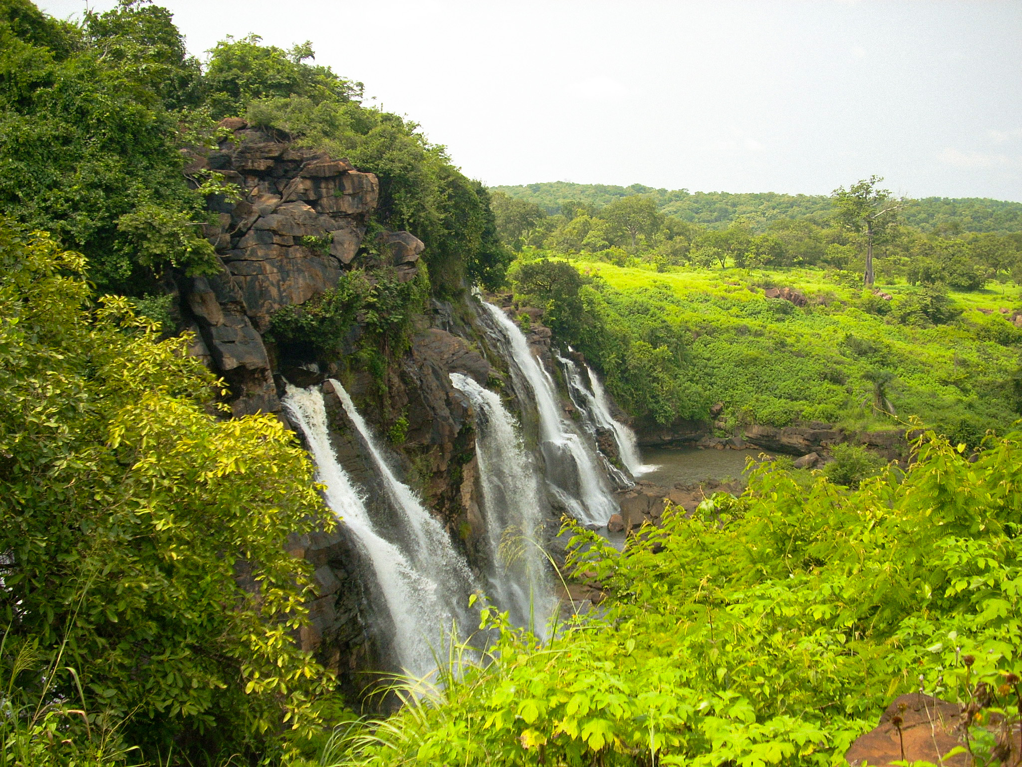
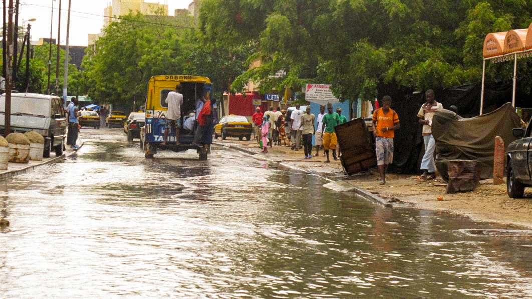
An up-to-date land cover database, precise terrain modeling, and detailed mapping of a territory’s assets at risk enable the assessment of its vulnerability to risks.
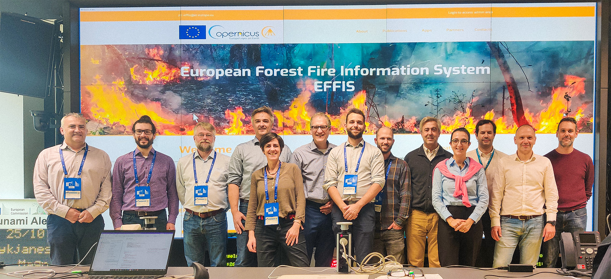
In the face of risk prevention and management challenges at a territorial scale, geographic information is an essential element for decision-making.
This geographic data, combined with other data, particularly climatic data, or integrated into models, is essential for informed management of risks such as floods, droughts, fires…
Our areas
of expertise
- Consulting, analysis of existing systems and needs in terms of geographic data
- Acquisition and processing of satellite or aerial imagery
- Production of environmental databases
- Specification of cartographic products and databases
- Change detection and statistical analysis
- Development and implementation of applications or thematic maps
- Modeling and implementation of metadata according to
international standards - Quality assurance and control, database validation
- Implementation of production chains, technology and
skills transfer, training, technical assistance