At the forefront of data acquisition and utilization, IGN FI helps decision-makers worldwide to fully leverage the potential of geographic information.
By choosing IGN FI, you entrust your project to a leading partner in geographic engineering.
Since 1986, IGN FI has supported its clients in their digital transformation, strengthening their expertise and equipping them with powerful and reliable tools.
Our solutions contribute to informed, efficient, and sustainable management of territorial resources, in each of our areas of intervention.
- Geodesy
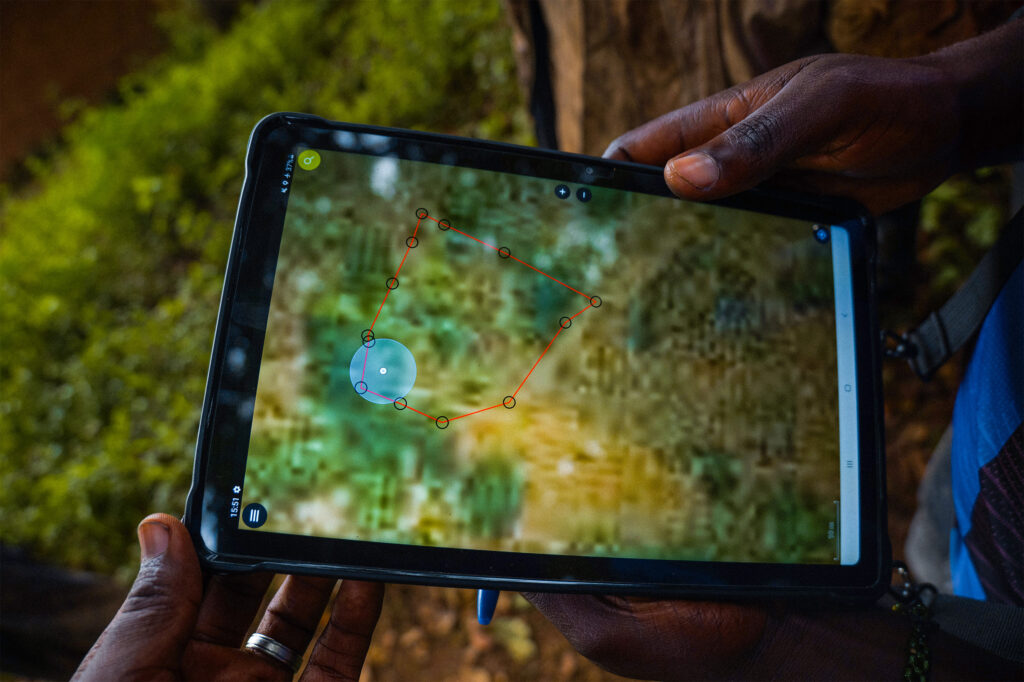
- Data acquisition and processing
- Cartography
- Development of data infrastructures/geoportals
- Land administration support
- Development of geographic and land information systems
Our team
IGN FI currently employs nearly 50 people. Its headquarters are based in Paris. Local offices are established to be as close as possible to the client during project execution.
We serve...
Populations
The formalization of land rights reduces conflicts, secures investments, and allows for the establishment of a reliable basis for potential equitable land taxation. Geographic information is central to disaster management and the prevention of natural or technological risks.
Territories
Data collected through geographic information is essential in the sectors of land-use planning, land management, agriculture, and the environment.
State sovereignty
To help manage their territories, governments need to modernize their geographic infrastructures. Staff training in the production and utilization of reference geographic data is also essential.
The preservation of natural resources
Geographic information is crucial for monitoring the preservation of natural resources. It is also essential in countries where food security is threatened and where agriculture constitutes a significant part of the national economy.
Our values
Each territory, each project has its specific characteristics. At IGN FI, we put our expertise at the service of useful, adapted, and sustainable solutions.
We believe in transparency, skill-sharing, and local integration as levers for impact. We believe that by developing local skills, our projects gain their full meaning and sustainability.
Skills
Your projects are complex, and each context is unique. IGN FI, in addition to its mastery of cutting-edge technologies, relies on its human capital.
Accustomed to working in multicultural environments and managing large-scale projects, our experts quickly grasp strategic and operational challenges.
Commitment
IGN FI and its teams believe in what they do and are convinced of the relevance of the solutions offered to populations and decision-makers.
The company is guided by public interest and designs sustainable solutions adapted to the realities of the countries in which it operates.
Finally, IGN FI is committed to guaranteeing decent working conditions for the people it employs on its projects, allowing them to earn a living from their work.
Knowledge Transfer
A successful project is a collective achievement. Within the framework of its projects, IGN FI raises awareness of the benefits of geographic information and shares its skills and expertise to strengthen local capacities.
IGN FI trains and supports local teams to ensure the technological autonomy of its project beneficiaries.
Our history
Upon its creation in 1986 by IGN, IGN FI actively participated in updating national mapping in Africa. It gradually expanded its geomatics expertise to include land administration, environment, agriculture, and defense. Over the decades, IGN FI has successfully integrated the latest technological advancements.
In 2015, after a fruitful 15-year collaboration, GEOFIT became the majority shareholder of IGN FI, thus expanding its means of intervention.
Since its inception, IGN FI has been committed to supporting its clients in their geomatics projects, with a focus on sustainability, skill transfer, and change management for the implemented solutions.

+100
Countries of operation
+1 400
Projects completed
40 years
of experience
40 years
of experience
48
Permanent employees
€20M
in average annual revenue
Our ecosystem
International subsidiary of GEOFIT
GEOFIT in brief
The GEOFIT Group is a major player in Europe, mastering the entire geographic data cycle, from initial production to quality and dimensional control.
GEOFIT aims to provide high value-added geospatial data to effectively plan, anticipate, and manage future territorial developments.
Key figures
- 1,000 employees in France
- 500 employees internationally
- 28 agencies in France, including overseas territories
- 120 international projects
- €120M in revenue in 2024
- €8M investment in cutting-edge equipment and R&D
IGN's international technical operator
IGN in brief
The IGN is an internationally recognized institutional reference in the field of geographic information. Under the dual supervision of the French Ministries of Sustainable Development and Forests, it describes the national territory, inventories forest resources, designs leading geodata with its various partners, and ensures their archiving and dissemination.
Key figures
- 1,600 employees
- 30 AI specialist engineers in operational teams
- €180M budget (2022)
- 3 research laboratories
- 40 permanent researchers and 30 PhD students
- 1 integrated engineering school, the National School of Geographic Sciences: ENSG-Géomatique
- 12,000 students trained at ENSG-Géomatique