In October 2019, the IGN FI – BRLi consortium was awarded the regional contract for the assessment of hazards, vulnerabilities, and risks in the member states of the Economic Community of Central African States (ECCAS) Commission, the international organization for the economic, social, and cultural development of the following member states: Angola, Burundi, Cameroon, Central African Republic, Republic of the Congo, Democratic Republic of the Congo, Gabon, Equatorial Guinea, Chad, Sao Tome and Principe, and Rwanda.
Funded by the European Union, as part of the ACP-EU program for strengthening resilience to natural hazards in ECCAS, and managed by the Global Facility for Disaster Reduction and Recovery (GFDRR) of the World Bank, this project included the organization of a regional workshop held on March 29 and 30, 2021, via video conference. This workshop marks the end of the project.
Organized over two half-days, the regional validation workshop for Natural Risk Mapping in ECCAS member states was held on March 29 and 30, 2021, via video conference due to the health context related to COVID-19.
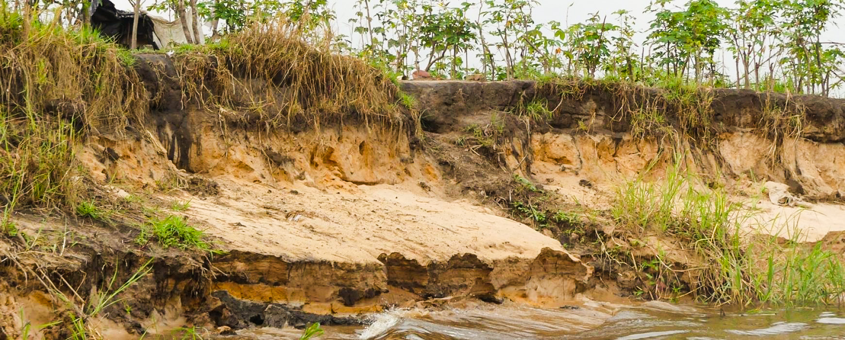
In his introductory address, speaking on behalf of His Excellency Ambassador Gilberto Da Piedade VERISSIMO, President of the Commission of the Economic Community of Central African States (ECCAS), H.E. Honoré TABUNA, Commissioner for Environment, Natural Resources, Agriculture, and Rural Development, recalled how heavily the effects of demographic pressure, unplanned urbanization, biodiversity loss, soil and ecosystem degradation, and climate change impacted the daily lives of the populations in the eleven Central African member states, totaling 182 million inhabitants. Indeed, since 1970, Sub-Saharan Africa has experienced over 2,000 disasters, with slightly less than half occurring in the last decade. Among the most common disasters in Sub-Saharan Africa are floods, droughts, but also cyclones, earthquakes, landslides, volcanic eruptions, coastal erosion, and epidemics.
At the beginning of the first day, team leader Gilles MARTIN recalled the project’s objectives and challenges, then experts from IGN FI and BRLi took turns presenting the methodologies used to assess hazards, vulnerabilities, and risks according to their respective expertise: development of hydrological and hydraulic models; assessment of geotechnical hazards; utilization of climatic data; and finally, the study of marine submersion and coastal erosion risks.
The second day consisted of the presentation and validation of the various project deliverables. The ECCAS Risk Atlas, produced as part of the project, was thus presented. Risks are addressed on two very different scales: the atlas presents, on the one hand, the main types of hazards and their geographical distribution within ECCAS (river flood risks, geotechnical risks, climatic risks, and risks specific to coastal areas); and on the other hand, it includes a focus on the main cities in the area and their specific risks.
As Camille PINET, project manager at IGN FI, pointed out, “We have ensured that the results are as clear as possible and can be utilized by all types of users: from experts and technicians to decision-makers, as well as the general public.”
In addition to the atlas that was produced, all the data collected and produced within the framework of the project have been structured into a database made available to ECCAS, and which can be used in the future by experts tasked with continuing the work.
According to Marie-Christine GERMAIN, project director at BRLi, “this unique knowledge base will enable all member states to better understand the risks based on the specificities of each territory, and thus be in a position to develop regional or national strategies for the most risk-exposed areas, which can then be translated, for particularly sensitive areas, into specific actions aimed at reducing risks and damages to people and property.”
As Semingar NGARYAMNGAYE, Regional Coordinator for Disaster Risk Management and Climate Change Adaptation (DRM/CCA), pointed out, this project is not an end in itself but rather a step along the way, as this scale of study does not allow for the development of Risk Prevention Plans (RPP). This atlas therefore constitutes a very first synthetic knowledge base serving risk prevention, which must rely upstream on education and form an integral part of the sustainable management of territories prone to profound socio-economic and environmental changes.
At the conclusion of the workshop, participants confirmed their interest and highlighted the importance of training and skills transfer to national teams, in order to enable the use of this data and its regular updating.
The workshop provided an opportunity for participants to share their comments on the content of the atlas, as well as additional regional or local information.
These contributions, submitted during the workshop and in the days leading up to and following it, enrich the project deliverables and will be incorporated into the final edition.
Once validated, the atlas will be delivered to ECCAS in digital and paper format.
In total, more than forty participants (DRR – disaster risk reduction – focal points from member countries, representatives and experts, administrations and institutions involved in disaster risk management) took part in the discussions.
Read the press release: here
