IGN FI leveraged the expertise of several IGN France departments and benefited from their experience in geodesy, leveling, satellite image acquisition and processing, orthoimage production, and 2D data capture, as well as the department responsible for producing terrestrial and marine maps.


Asia
Saudi Arabia
Qatar
Borders
Context
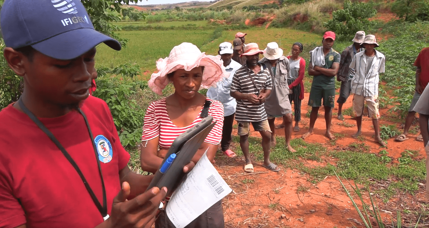
The border demarcation project between Saudi Arabia and Qatar, led by IGN FI, involved modifying the border alignment over 40 km, including advanced geodetic and cartographic work. Ten years after a similar initial project, this contract involved verifying and establishing new border markers, as well as producing multi-scale maps, ranging from 1:10,000 to 1:350,000.
Client
JTC (Joint Technical Committee)
Zone
Saudi Arabia/Qatar
Timeline
01/2010-02/2013


Missions
Phase 1: Construction of a base camp
- This base camp, capable of accommodating 50 people involved in the project, served as an operational center for field activities, providing essential logistical support throughout the project.
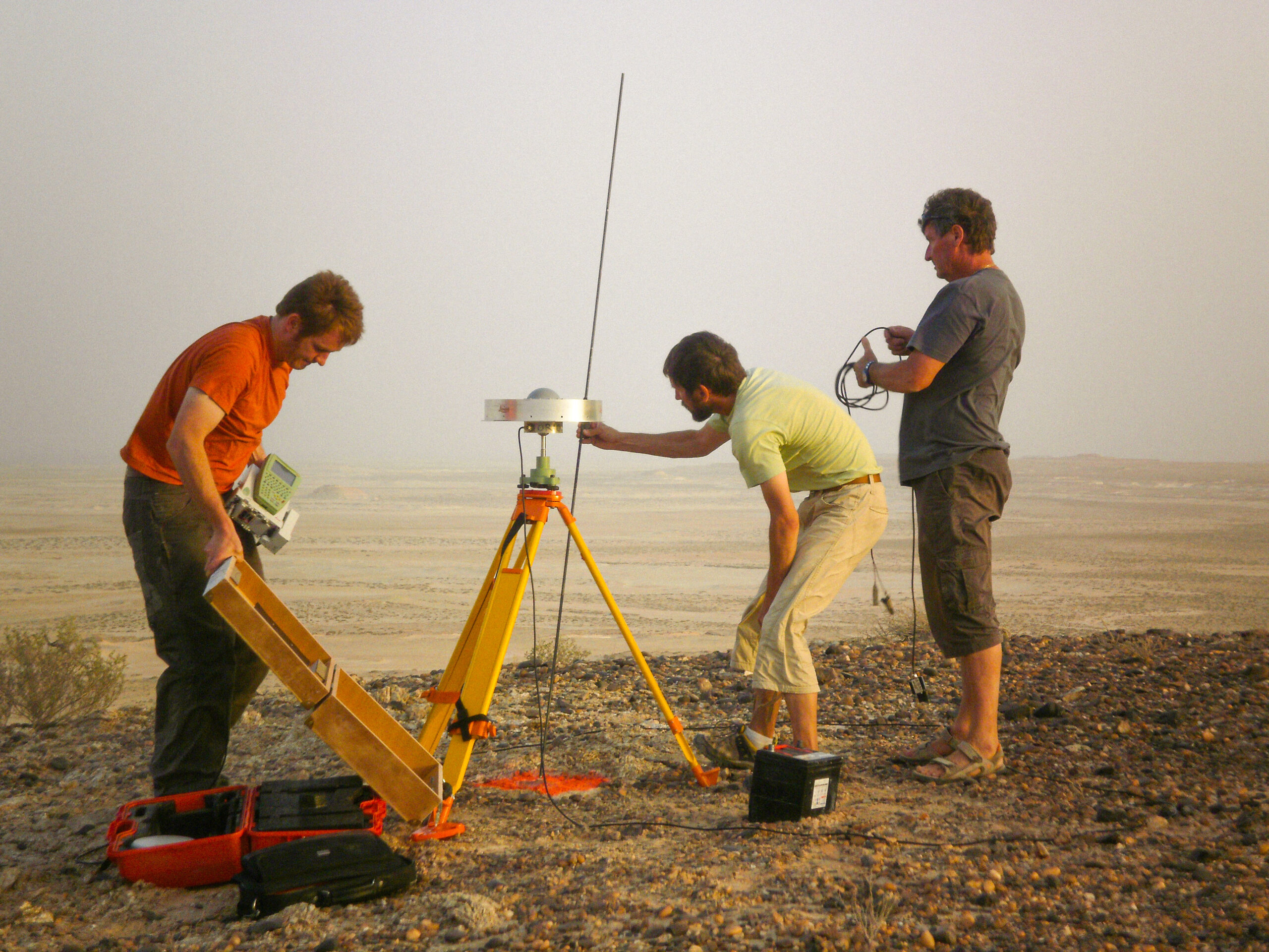
Phase 2: Geodesy – demarcation
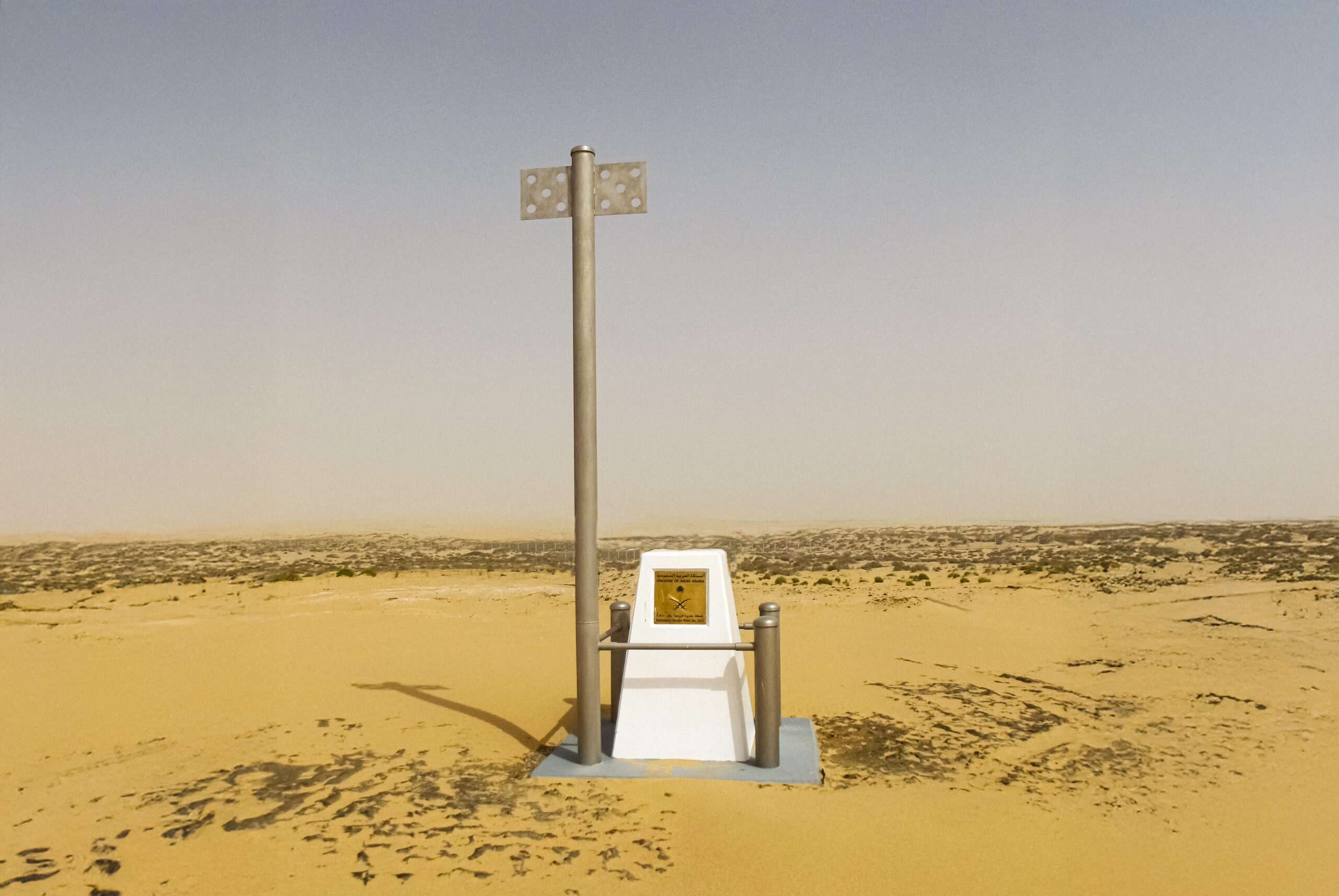
- Installation of new border markers according to the coordinates specified in the border agreement treaty, with an accuracy greater than 5 cm.
- Maintenance of existing points: cleaning and repair of all markers, painting of main and secondary points, reinforcement of protection
- Final observations/data dissemination: Observation (at least 48 hours) of all points (old and new) – Calculation of coordinates using scientific software
- Transformation of coordinates – Geodetic data sheets
Phase 3: Mapping
- 40 cm resolution photography of the border area and acquisition of satellite images covering 50,000 km²
- Production of orthophotos and associated orthoimages
- Production of multi-scale maps (1:10,000, 1:50,000, 1:100,000, 1:200,000, and 1:350,000) covering both the land and sea sections of the border
- Compilation of a bilingual Arabic/English atlas containing border agreements and the maps produced
- Production in France under the regular supervision of the Joint Technical Commission
40 km
of modified border length
50 000
km2 of area covered by satellite imagery
20 000
printed maps