Led by the Burundian Ministry of Environment, Agriculture, and Livestock, this land sub-component of the PRRPB aims to clarify and secure land rights, as well as resolve land conflicts in the project’s intervention communes and hills. Indeed, it is estimated that land disputes account for over 70% of cases brought before Burundian courts. Therefore, securing land tenure and reducing land conflicts are key factors for sustainable agricultural and rural development.


Africa
Burundi
Land
Context
Burundi, a party to the 'Bonn Challenge' (to restore 150 million hectares of degraded and deforested land by 2020, and 350 million hectares by 2030) and the African Resilient Landscapes Initiative, has committed to restoring one million hectares of land by 2030.
Client
Burundi Landscape Restoration and Resilience Project (PRRPB)
Zone
Provinces of Muyinga and Rural Bujumbura
Partner
LADEC (Burundi)
Funding Agency
World Bank
Timeline
01/2021-03/2023


Missions
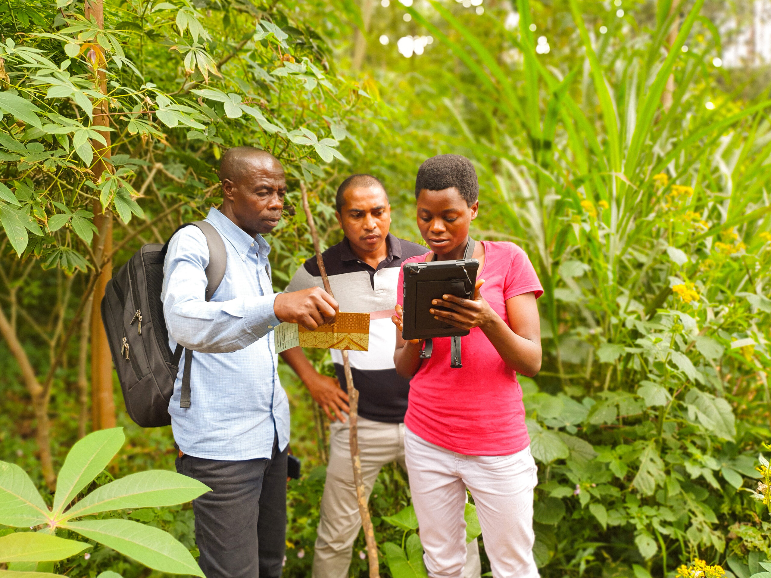
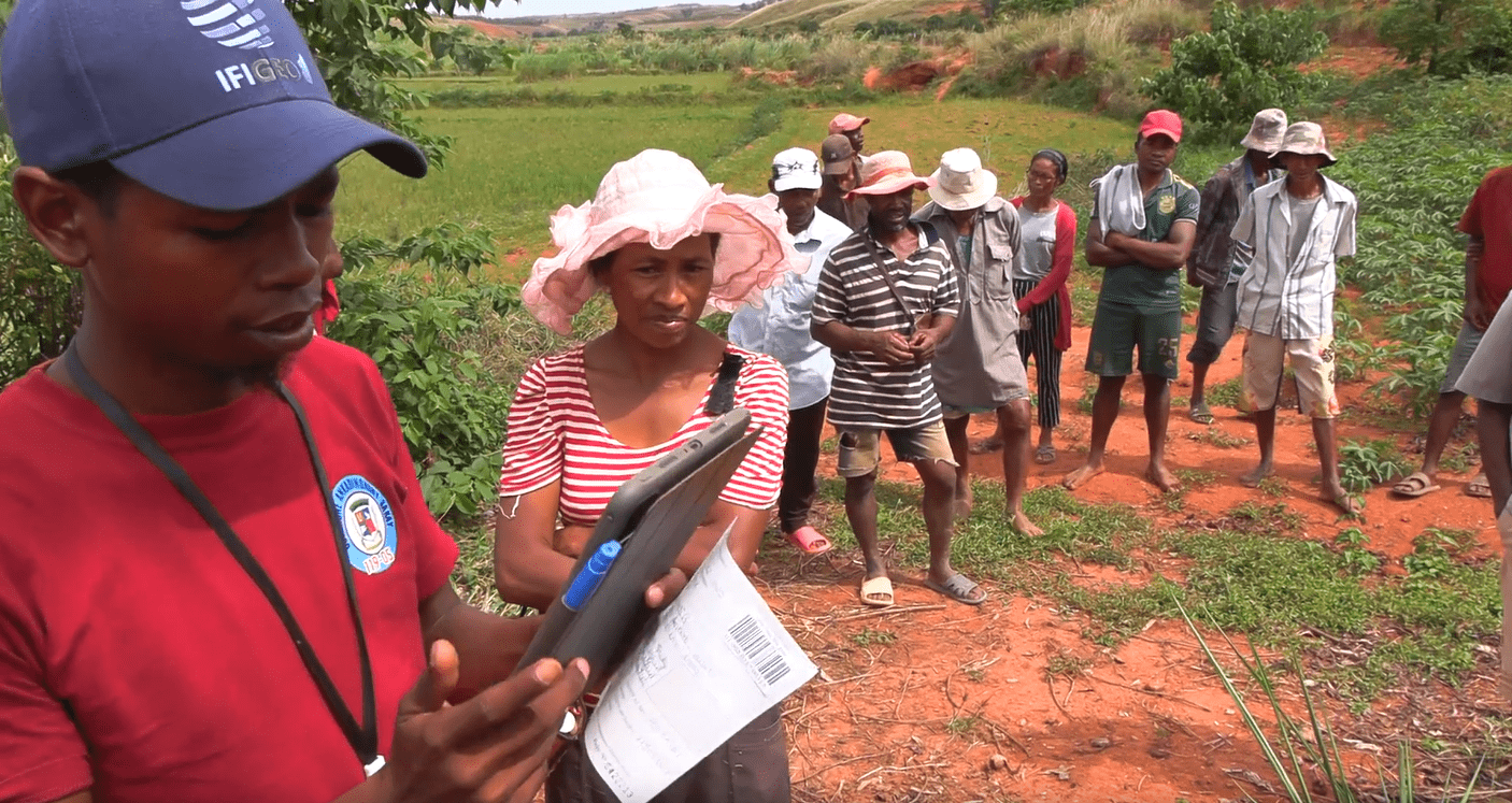
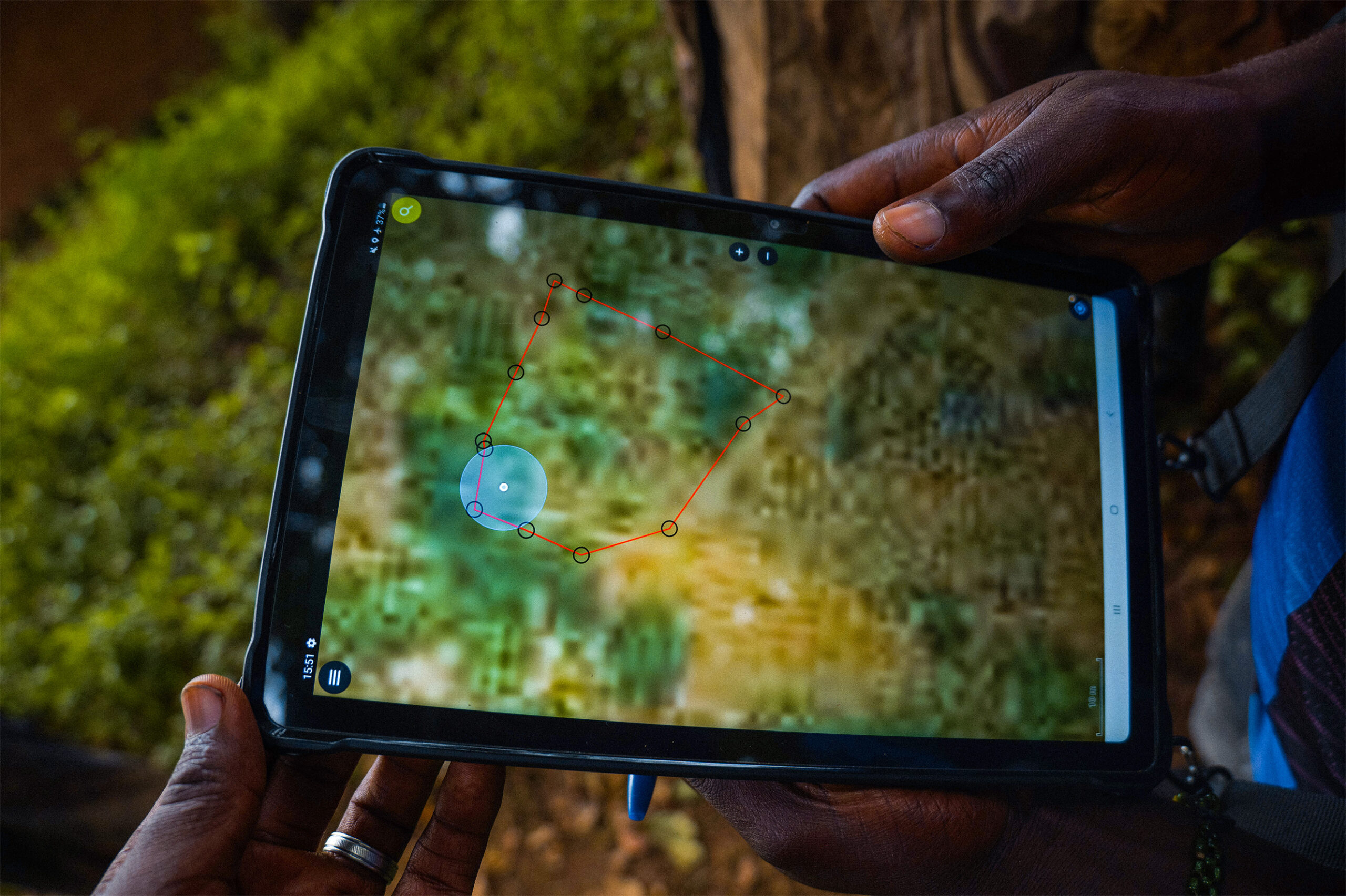
- Support for the creation of communal land services in the three communes of Muyinga, Isare, and Matongo: the project focuses on systematic land certification in this country where 90% of the population lives from agriculture. In addition to the design, development, and implementation of a land information system (LIS) that was deployed for the certification of the targeted communes, one of the project’s strategic objectives was to contribute to improving land access for women and the most marginalized ethnic groups (Batwa and other minorities or displaced persons).
- Technical and logistical support for land certification operations across 26 hills in the 3 communes. Parcel density and fragmentation are very significant; the estimated number of parcels was 50,000, and 105,000 parcels were recognized.
- Contribute to strengthening decentralized land management
+100 000
recognized parcels
+ 100 000
land certificates issued, 70% of which were issued to women
26
mass-certified hills