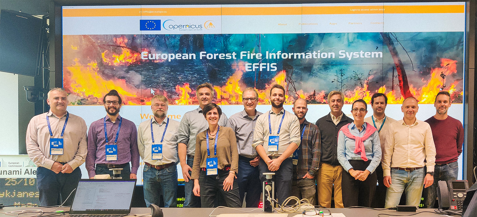
In 2021, the IGN FI consortium, in partnership with RISCOGNITION, the Finnish Meteorological Institute (FMI), and GEOFIT, won the tender launched by the JRC for the real-time production of data on active fires and burned areas, to feed the European Forest Fire Information System (EFFIS), which continuously updates this data.


Multi-continental
Multi-country
Environment, Agriculture, Forestry
Context
For several years, the European Commission has implemented the EFFIS service: European Forest Fire Information System.
Client
European Commission - Joint Research Centre
Zone
Europe, North Africa, and the Middle East
Partner
Riscognition GmbH (Germany), Finnish Meteorological Institute, FMI (Finland), GEOFIT (France)
Funding Agency
European Commission
Timeline
07/2022-07/2023

Missions
-
Active Fire Mapping: the EFFIS project primarily involved providing active fire detection products with multiple daily updates. The information is based on thermal anomaly products provided by existing polar-orbiting satellite sensors, such as the Moderate Resolution Imaging Spectroradiometer (MODIS) and the Visible Infrared Imaging Radiometer Suite (VIIRS). It was planned to include Sentinel-3 products and other available sensors that may appear on the market over the next six years.
-
Burned Area Mapping : it involved providing the JRC, in Near Real-Time (NRT), with MODIS/VIIRS satellite data and products subsequently used in the JRC’s internal processing chain to map burned areas. This service included products describing the perimeters and extent of burned areas at different spatial and temporal resolutions.
3
Mobilized Earth observation experts
1
Mobilized AI and Earth observation expert