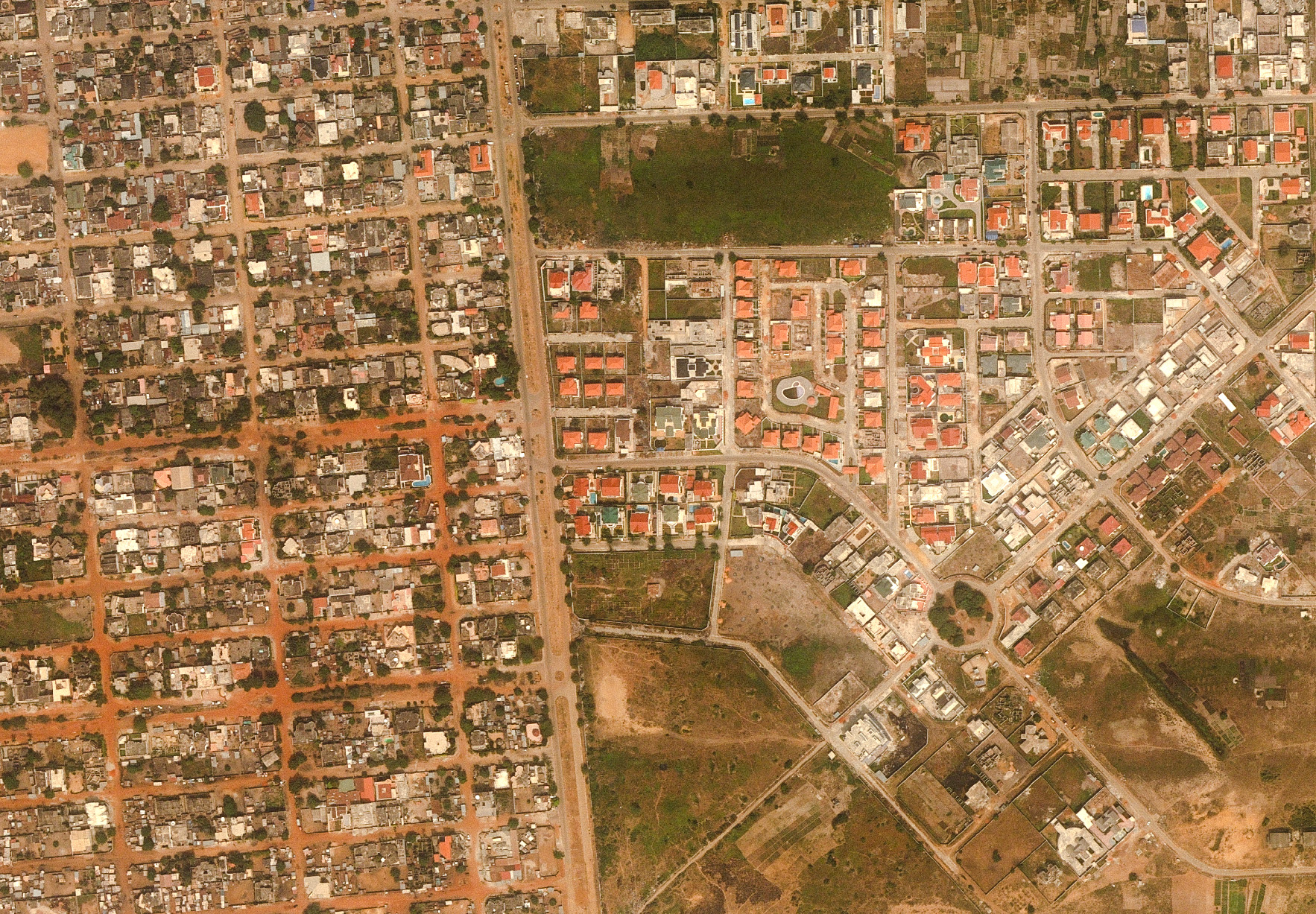
The work included aerial photography, geodetic measurements, precise leveling, and the creation of digital orthophotos. By utilizing very high-resolution stereoscopic satellite imagery, IGN FI successfully overcame the challenges posed by remoteness and weather conditions. This project enabled the production of precise maps, essential for land-use planning and urban development.


Oceania
French Polynesia
Cartography and spatial data infrastructures
Geodesy
Context
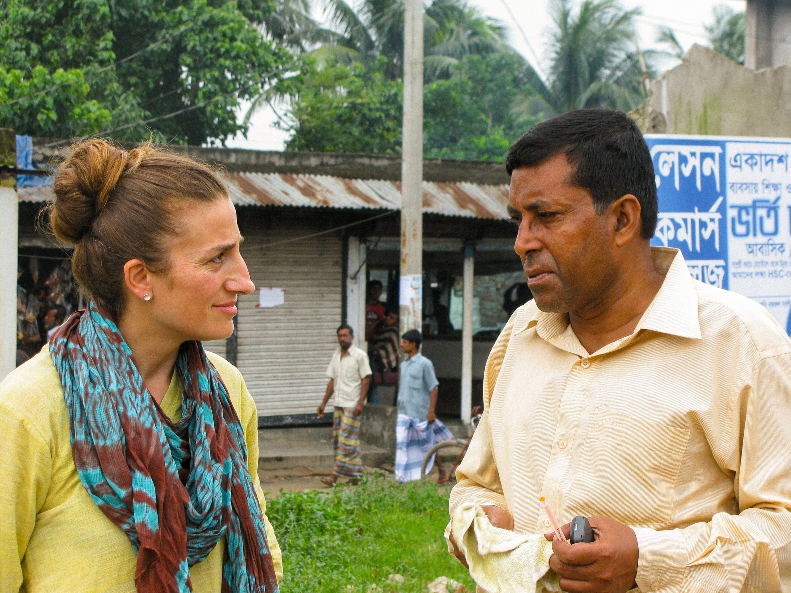
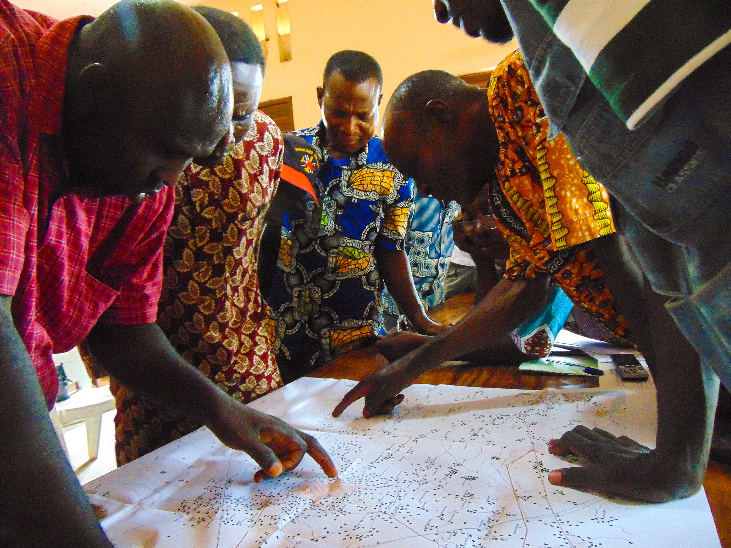
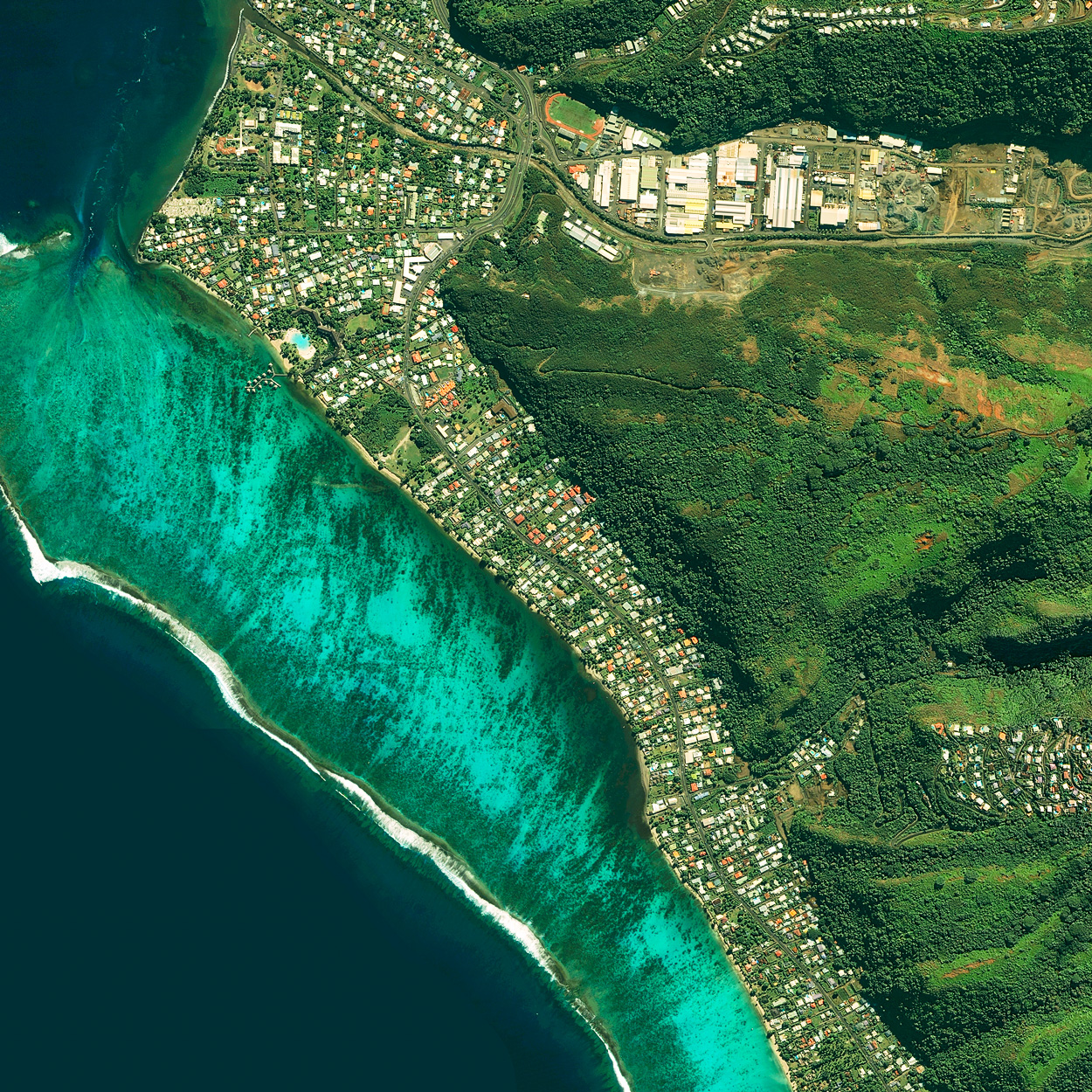
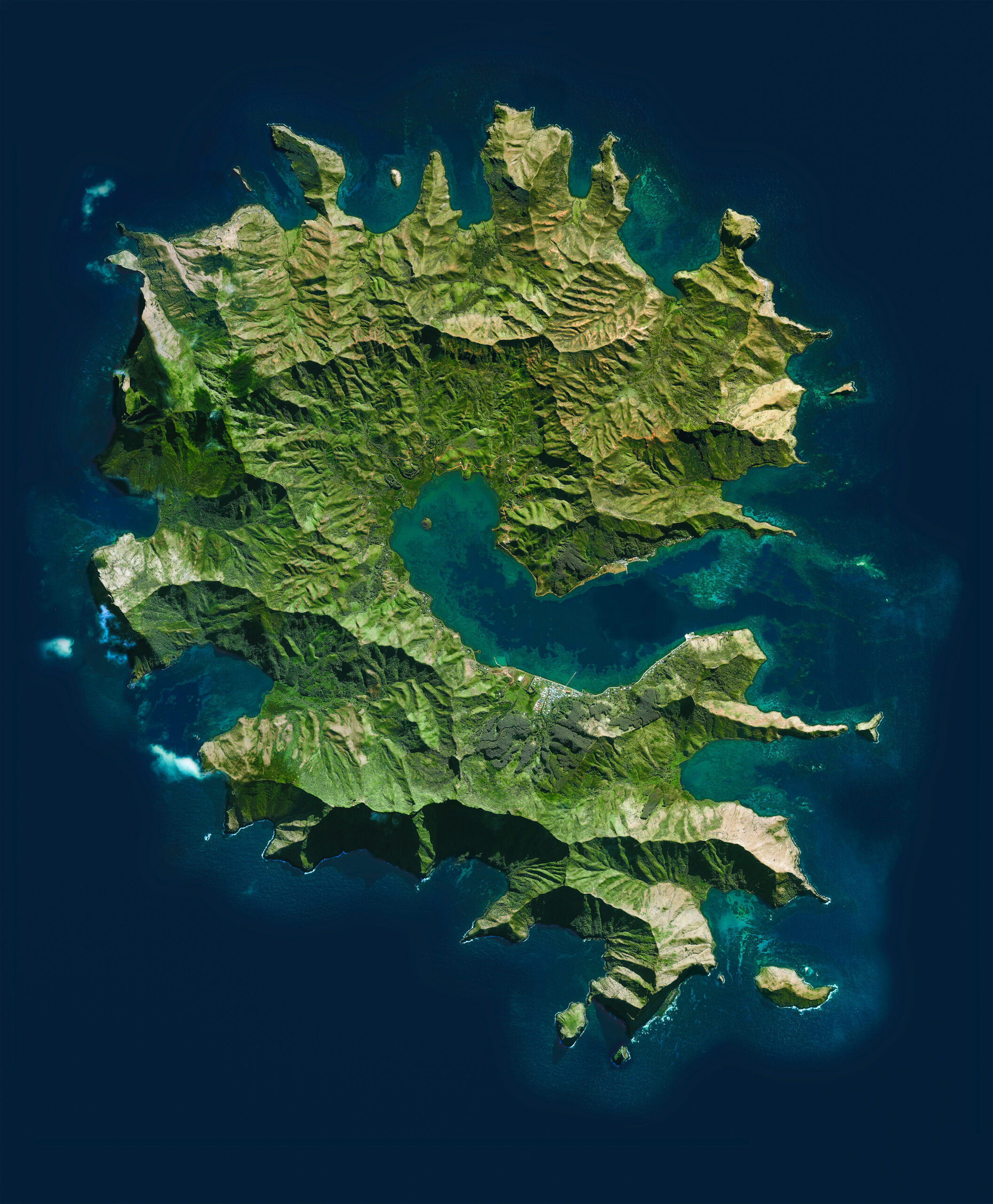
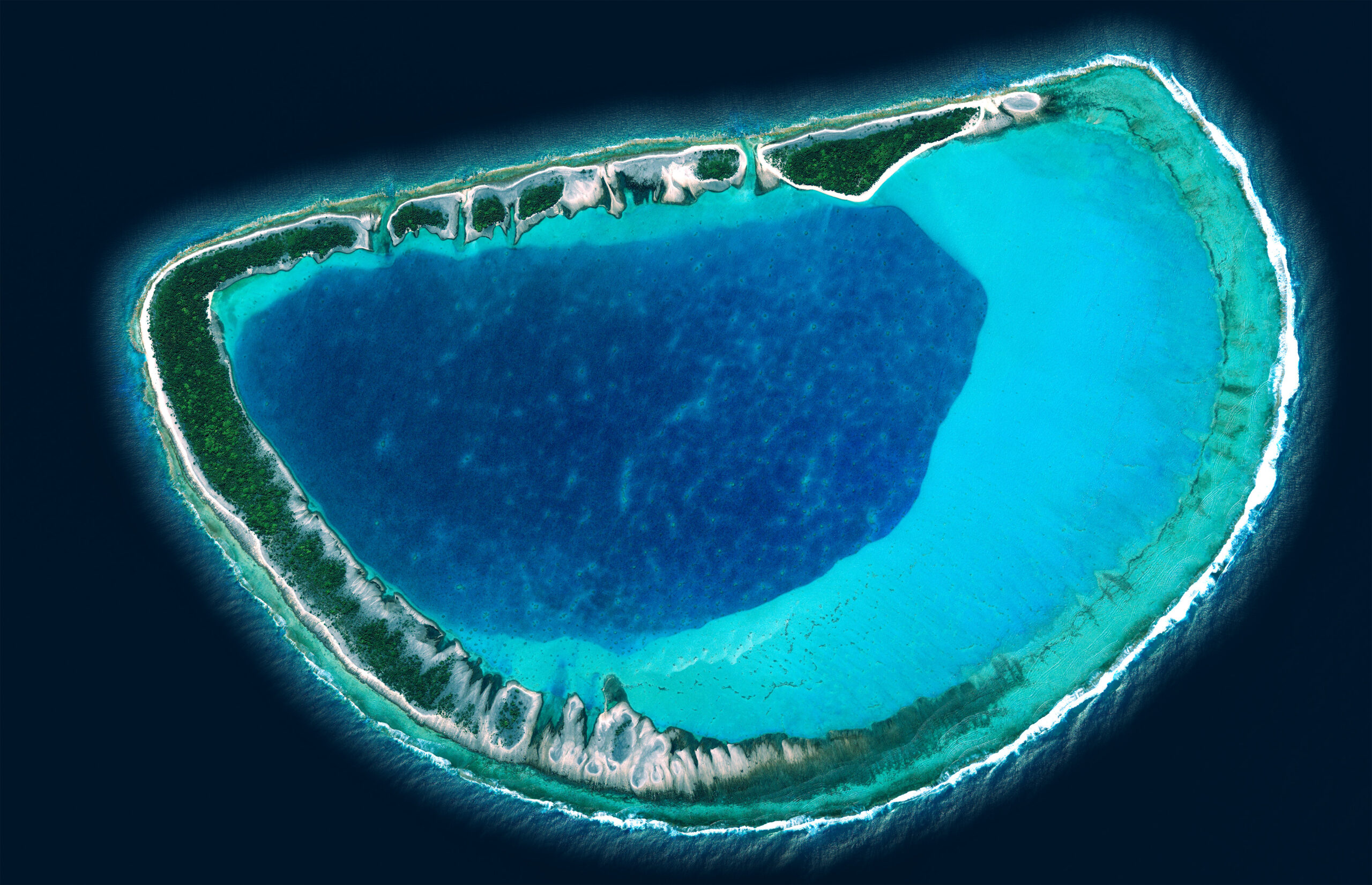
IGN FI, contracted by the government of French Polynesia as the contracting authority, led a mapping and geodesy project as part of the 'Topo-Foncier Plan'. This project, conducted in collaboration with local companies and IGN, aimed to modernize the cartographic data of French Polynesia's five archipelagos, which comprise 117 islands.
Client
Ministry of Land Affairs, Spatial Planning, and Urban Development
Zone
French Polynesia
Partner
Aero Carto, GPS Pacifique, Topo Pacifique, Kevron
Funding Agency
Territory of French Polynesia
Timeline
06/2001-06/2008


Missions
- Aerial Photographic Coverage: production of 1:15,000 scale color aerial photographic coverage with onboard GPS, covering 117 islands or atolls, for an estimated total of 6,000 images.
- Satellite Image Provision: provision of IKONOS 1m resolution color satellite imagery, in monoscopic and stereoscopic modes, covering 70 islands not covered by aerial photography, totaling 8,000 km².
- Color Prints and Digitization: high-resolution (850 dpi) color prints and digitization of all images.
- GPS Provision and Training: provision of two dual-frequency GPS receivers and a digital level, accompanied by the necessary training for effective use.
- Geodetic Network Densification: work for geodetic network densification using GPS across the archipelagos.
- Leveling Network Densification: densification of the leveling network on 7 islands of the Society Archipelago, with 522 km of measurements carried out to improve topographic precision.
- Photogrammetric Framework and Mapping: creation of a photogrammetric framework and 1:5,000 digital mapping across the various archipelagos, covering over 1,000 km².
- Orthoimage : production of an orthoimage of Tahiti to provide a precise and detailed representation of the island.
117
islands or atolls of 5 archipelagos covered
by 1:15,000 aerial photography
70
islands and atolls covered by
IKONOS 1m resolution satellite imagery