The need to equip the country with a range of tools enabling genuine integrated flood risk management has become crucial. The Ministry of Water and Sanitation launched a consultant selection process at the end of 2020 for the first component of the flood management project (PGIIS), focusing on the implementation of a geographic information system applied to the mapping of flood-prone areas and flood risks in Senegal.


Africa
Senegal
Risk Management
INDS Cartography
Context
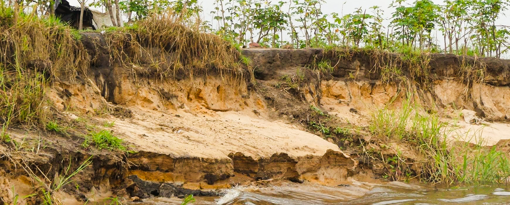
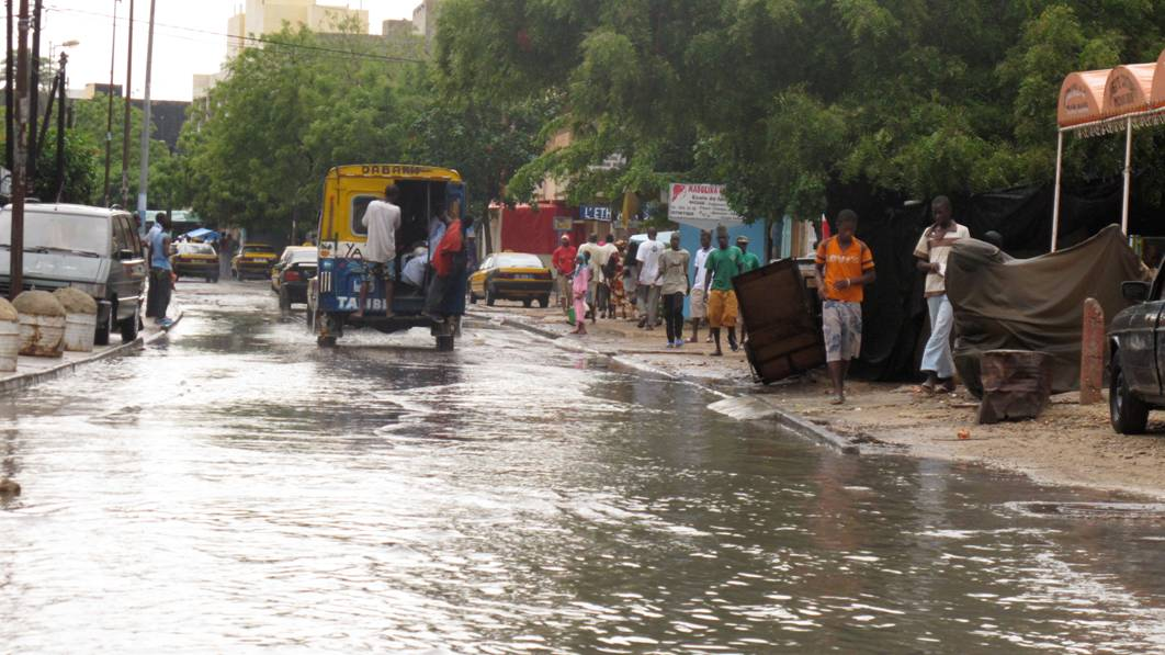
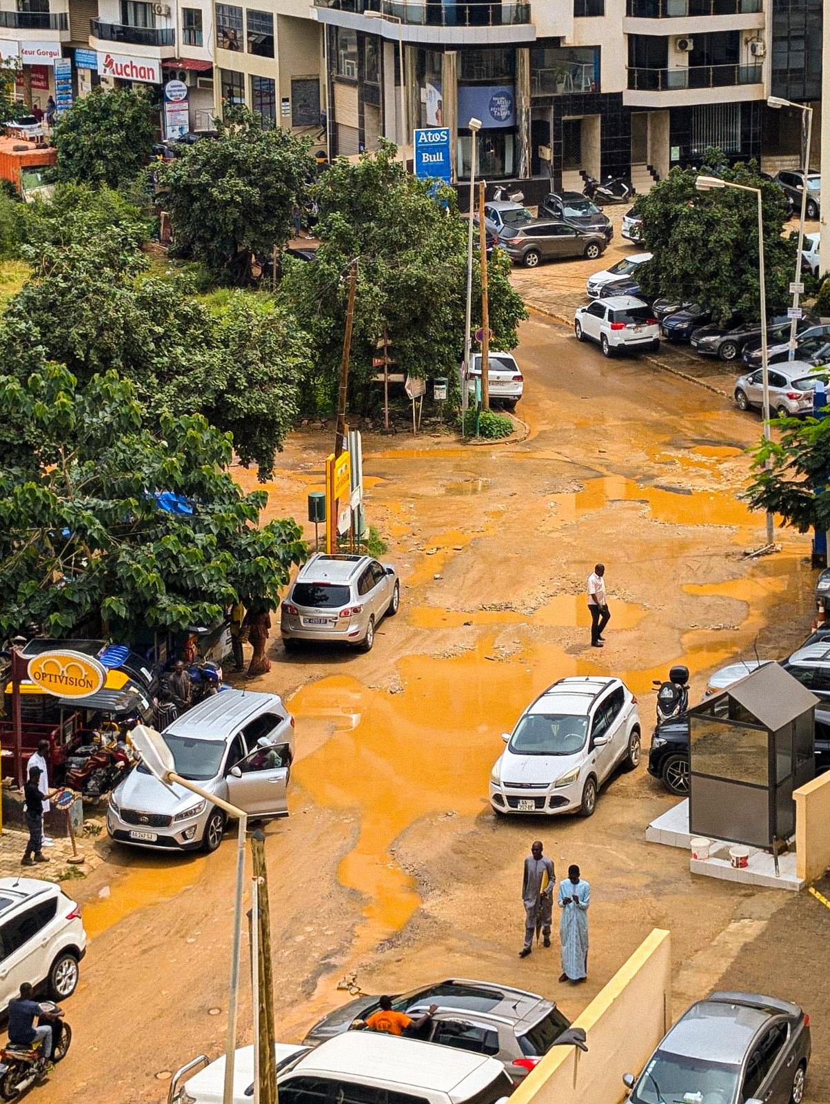
Recent decades have highlighted an increase in the frequency and, above all, the often dramatic consequences of intense rainfall events in the peri-urban areas of Dakar, as well as in other regions of the country.
Client
Ministry of Water and Sanitation - PGIIS Management Unit
Area
Senegal
Partner
BRL Engineering
Funder
Green Climate Fund / French Development Agency (AFD)
Timeline
10/2021-04/2024


Missions
- Conducting a situational analysis regarding national flood risk mapping and knowledge: the project relied on these various elements for defining the needs.
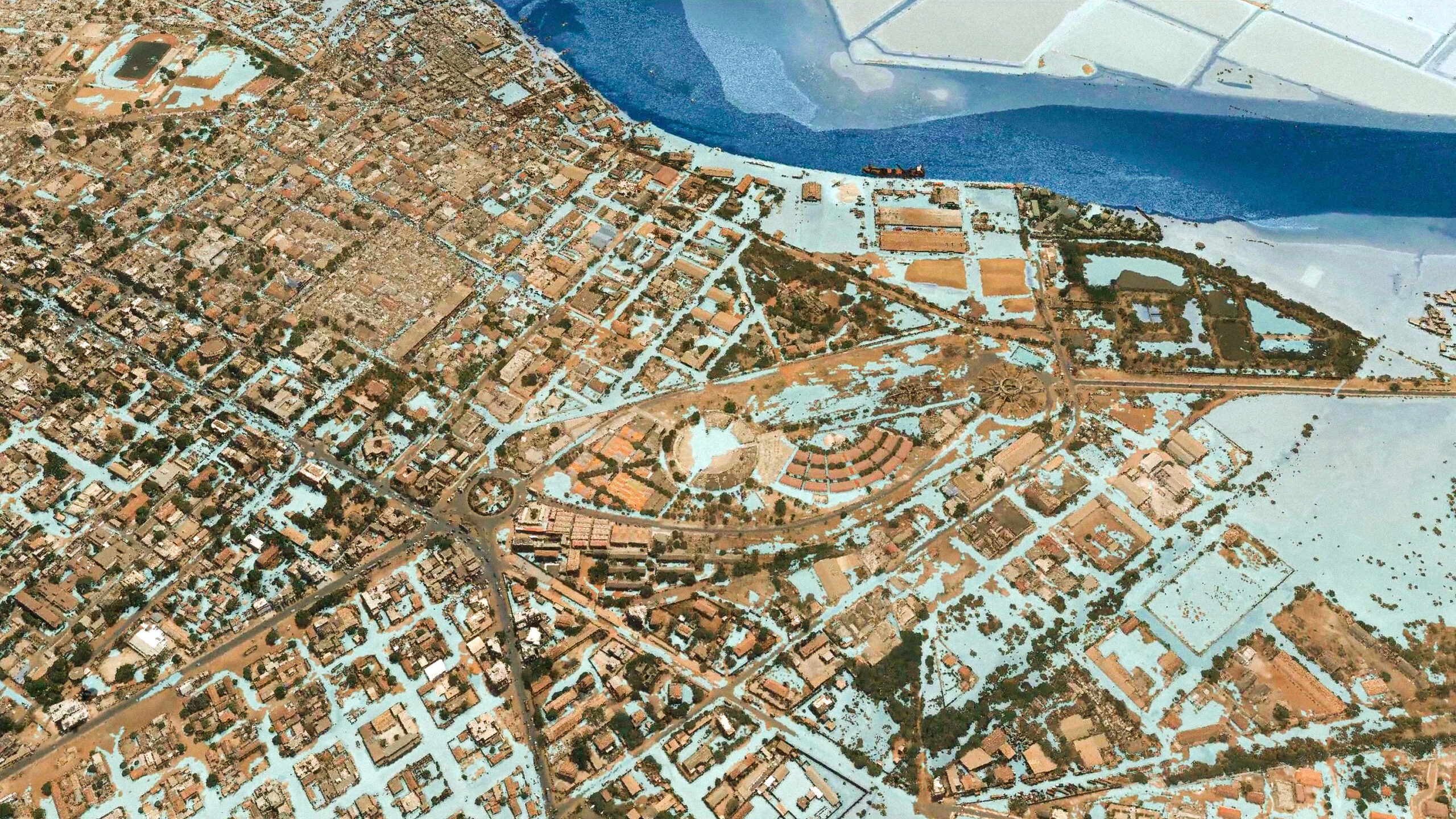
- Acquisition of necessary baseline data: to establish the necessary national baseline, the most precise DEM available on the global market was acquired by the ministry, and in the Dakar-Thiès-Joal triangle and 6 other priority areas, aerial imagery (photo and LiDAR) was produced.
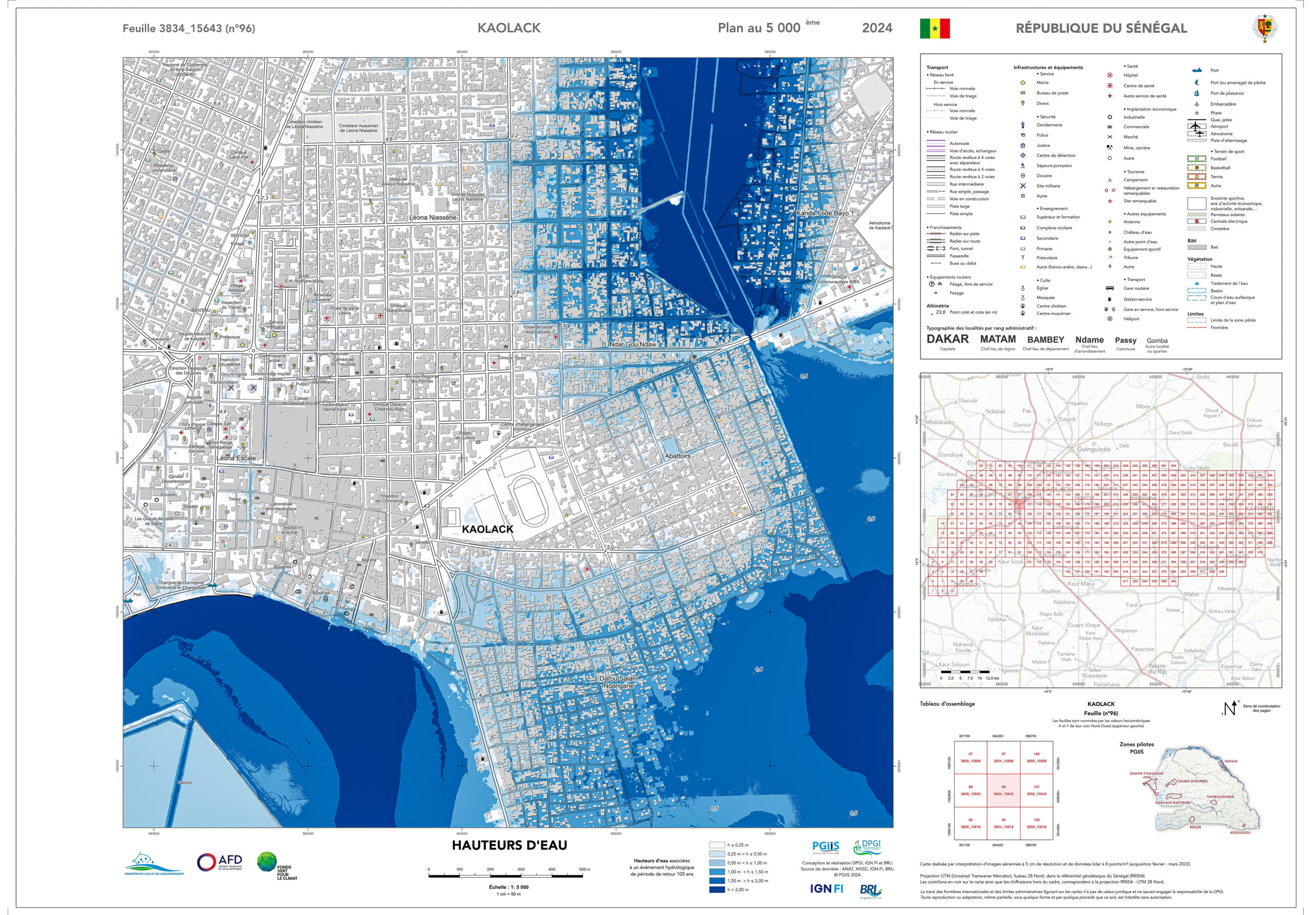
- Development of flood risk mapping: the aim was to provide a genuine decision-making tool for relevant national stakeholders. Flood extent mapping at the watershed level and detailed flood risk mapping were produced for Greater Dakar and 6 other priority urban centers, using LiDAR DEM data.
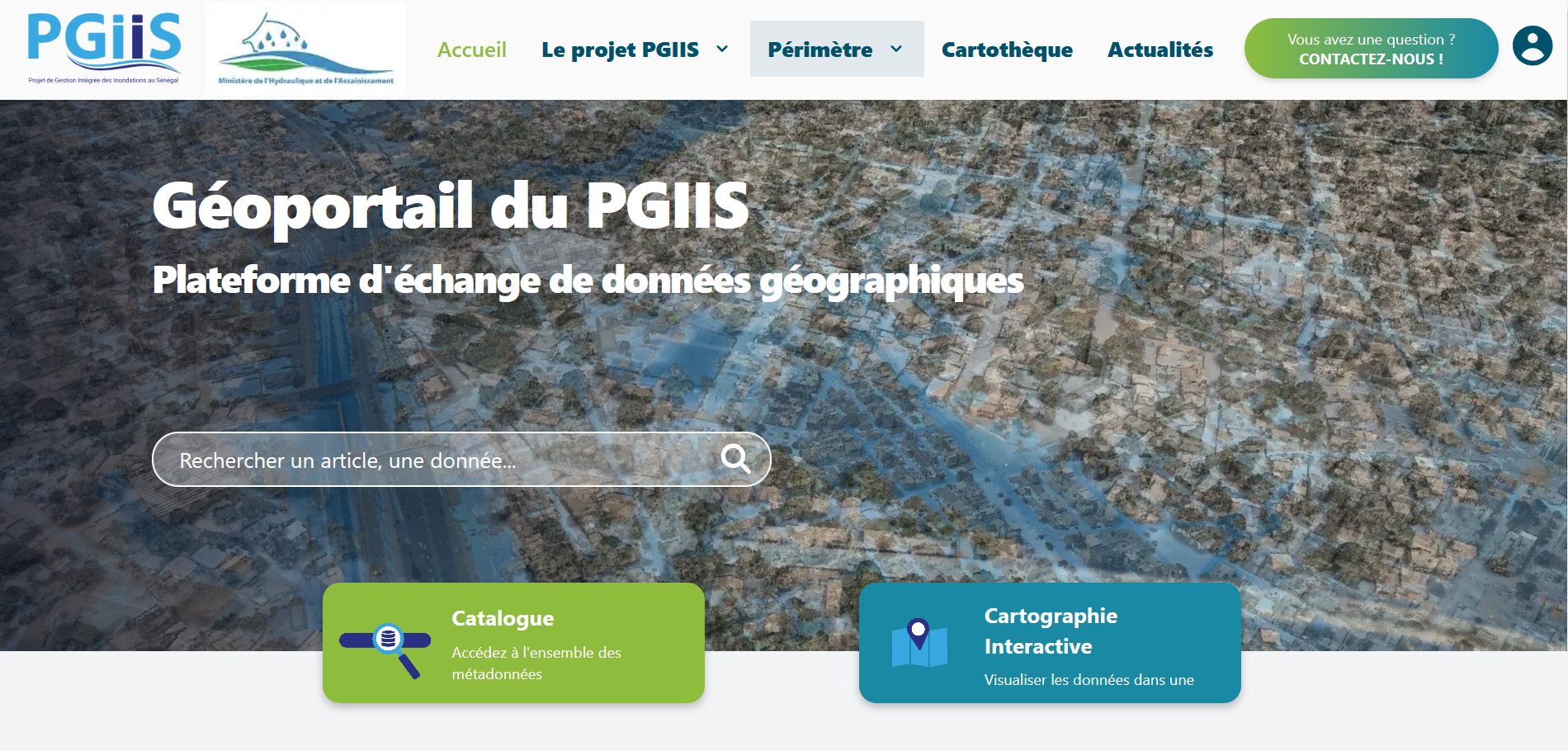
- Implementation of a GIS, as well as a geoportail to disseminate project results: the geographic data exchange platform is accessible to all https://pgiis.sec.gouv.sn/portal/#
- Improved communication and awareness campaigns among exposed populations: the project communicated by sharing the knowledge produced with various institutional stakeholders (including CNGI members) and by raising awareness among the exposed population with easy-to-use and readily understandable maps.
1
national digital elevation model at 2 m resolution
1
national digital elevation model at 2 m resolution
7
pilot areas over 10,000 km²: orthophotos at 10 cm resolution and DEM at 50 cm