Africa
Benin
Cartography and spatial data infrastructures
In October 2014, IGN FI won a tender from the United Nations Development Programme (UNDP) for the creation of a basic digital map of the entire Beninese territory. Since the country's independence, with rare exceptions, the mapping of Benin had not been updated.

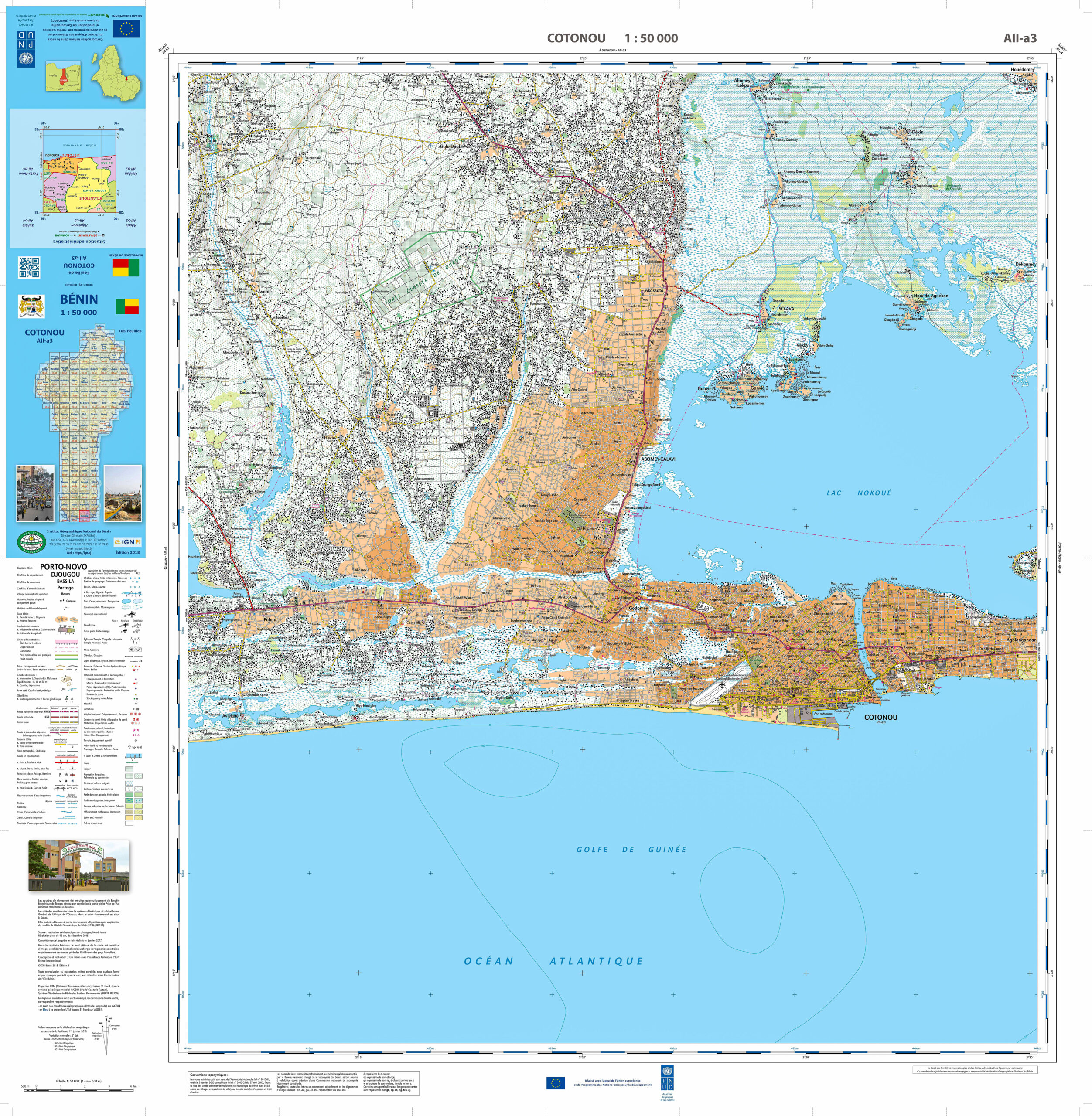
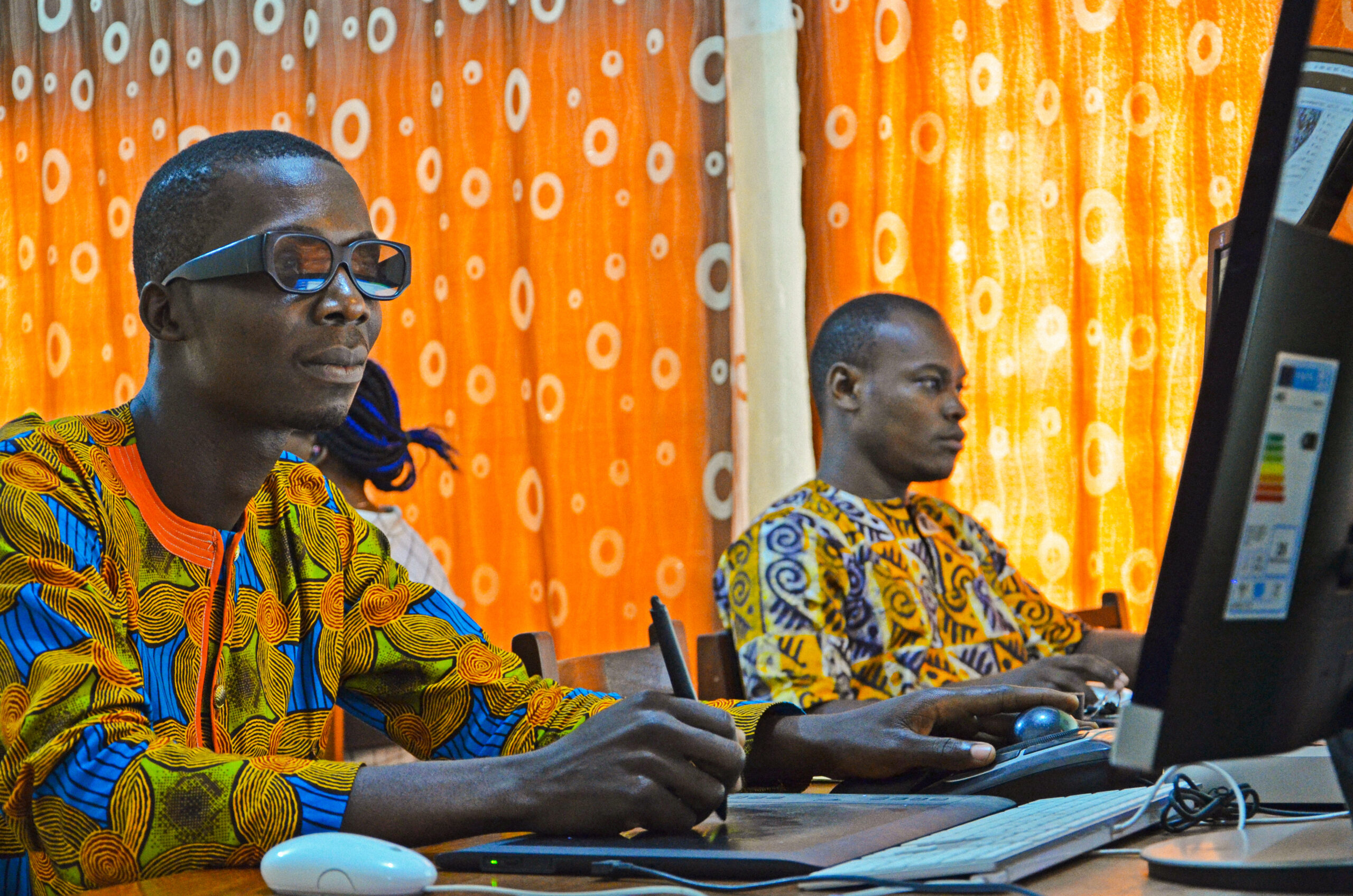
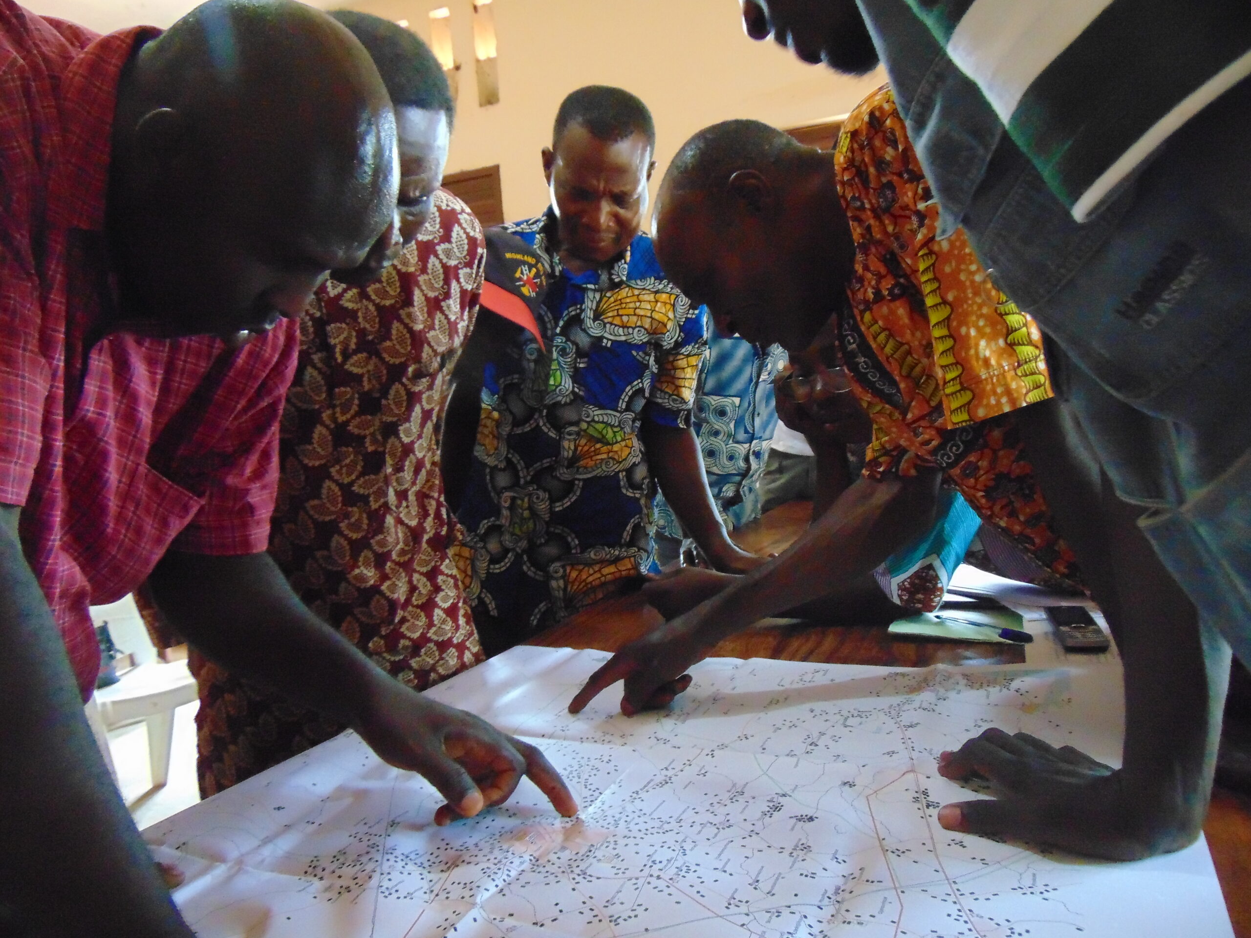
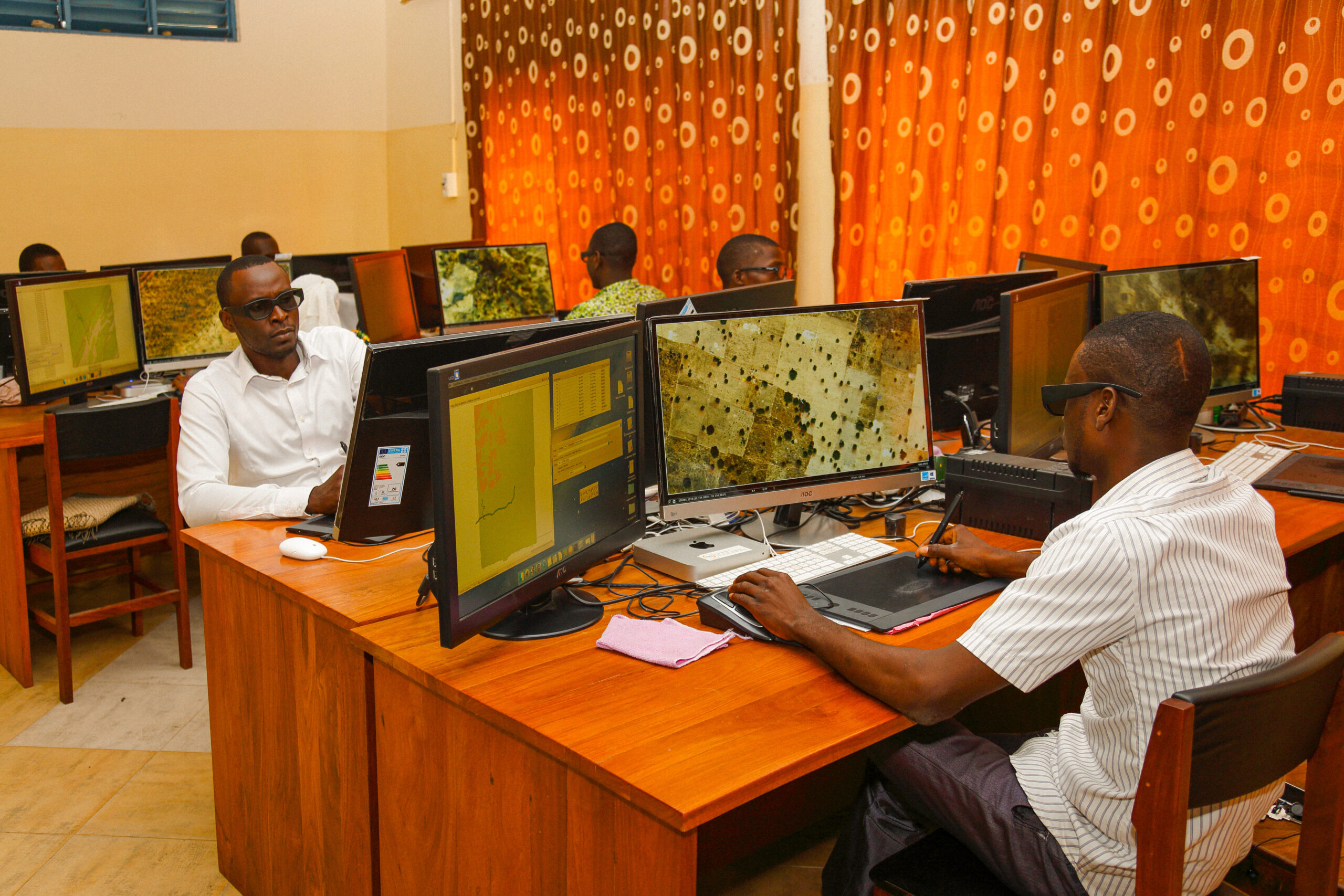
The creation of this mapping was part of the Project to Support the Preservation and Development of Gallery Forests and Production of Basic Digital Mapping (PAPDFGC). Co-financed by the European Union as part of the Global Alliance for Climate Change and UNDP, the project also received support from the beneficiary municipalities and the Government of Benin.

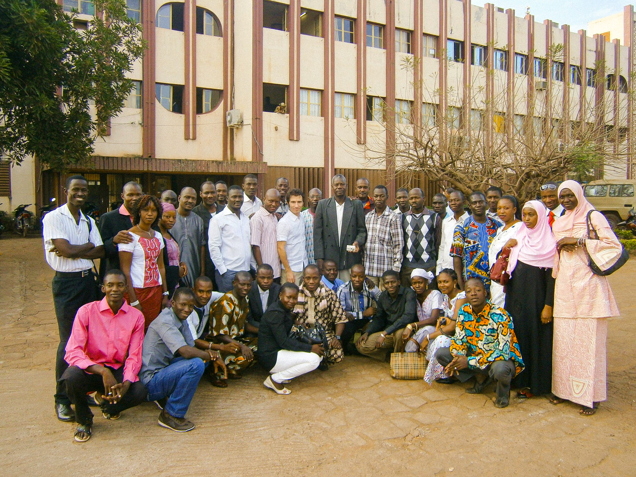
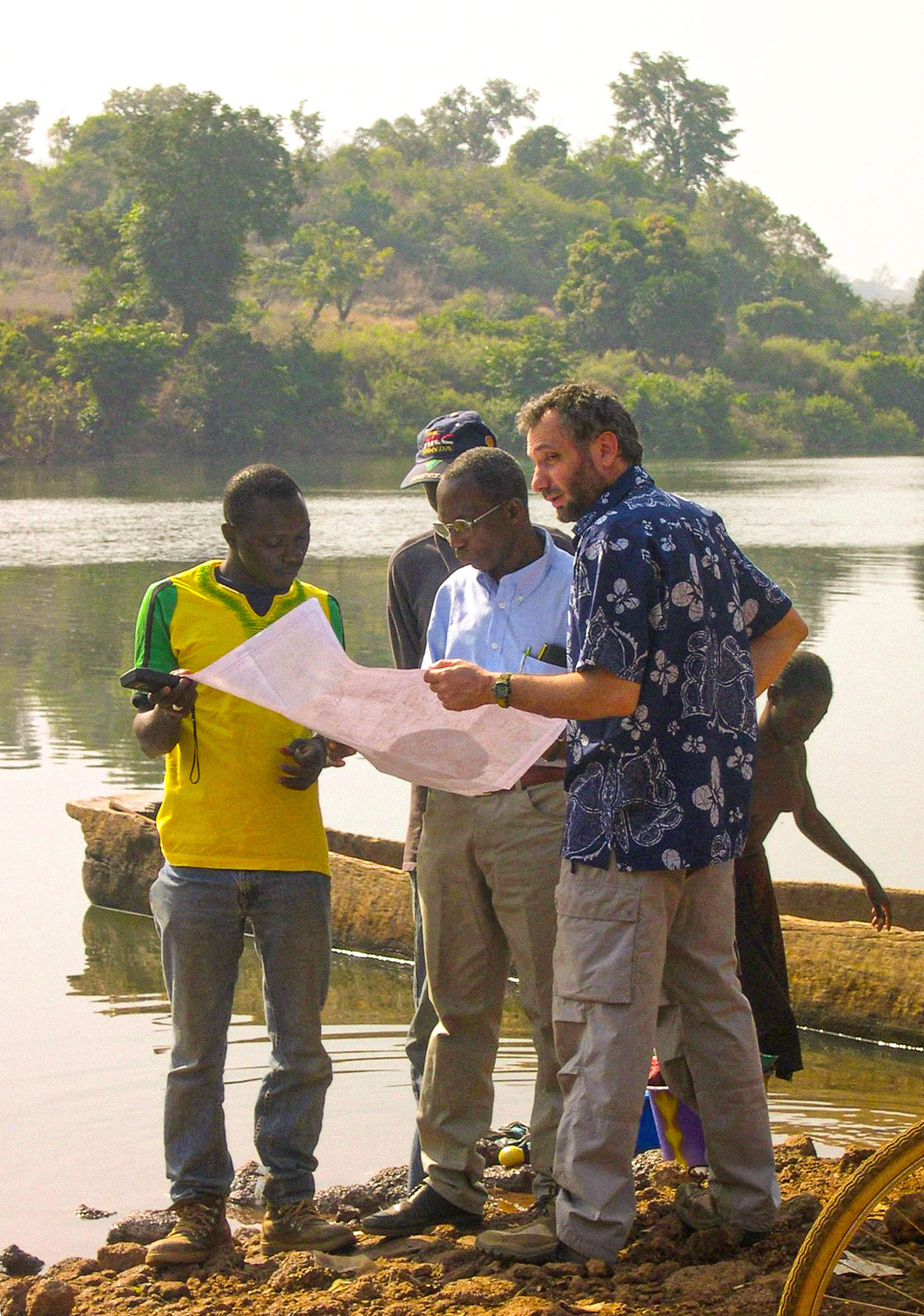
This project relied on entirely local production with a strong transfer of skills, driven by IGN FI experts.

Client
Geographic Institute of Benin
Zone
Benin
Funding Agency
European Union (95%), UNDP and Benin
Timeline
11/2014-06/2018
  • Aerial photography acquisition across the entire territory (accuracy greater than 50 cm)
  • Production of a detailed digital terrain model: 1.5m x 1.5m grid – Altimetric accuracy: 1.5 m – Planimetric accuracy: 0.75 m
  • Creation of a topographic database: over 40,000 toponyms, 23,000 localities, 8,500 schools, 1,550 health facilities, etc.
  • Production of the new mapping at 1:50,000
  • Dissemination via a geoportal
    • Geocatalog
    • Visualization
    • Download of all vector data
    • Online pre-order tool
    • Developed using open-source tools
    • Administration delegated to IGN Benin
  • Training

120,000 km2

photographed and mapped

TB

of data viewable online on the Geoportal

400

copies of color offset printed maps, folded and flat

+60

contributors to the project

4

on-site production workshops

≈50

local operators trained