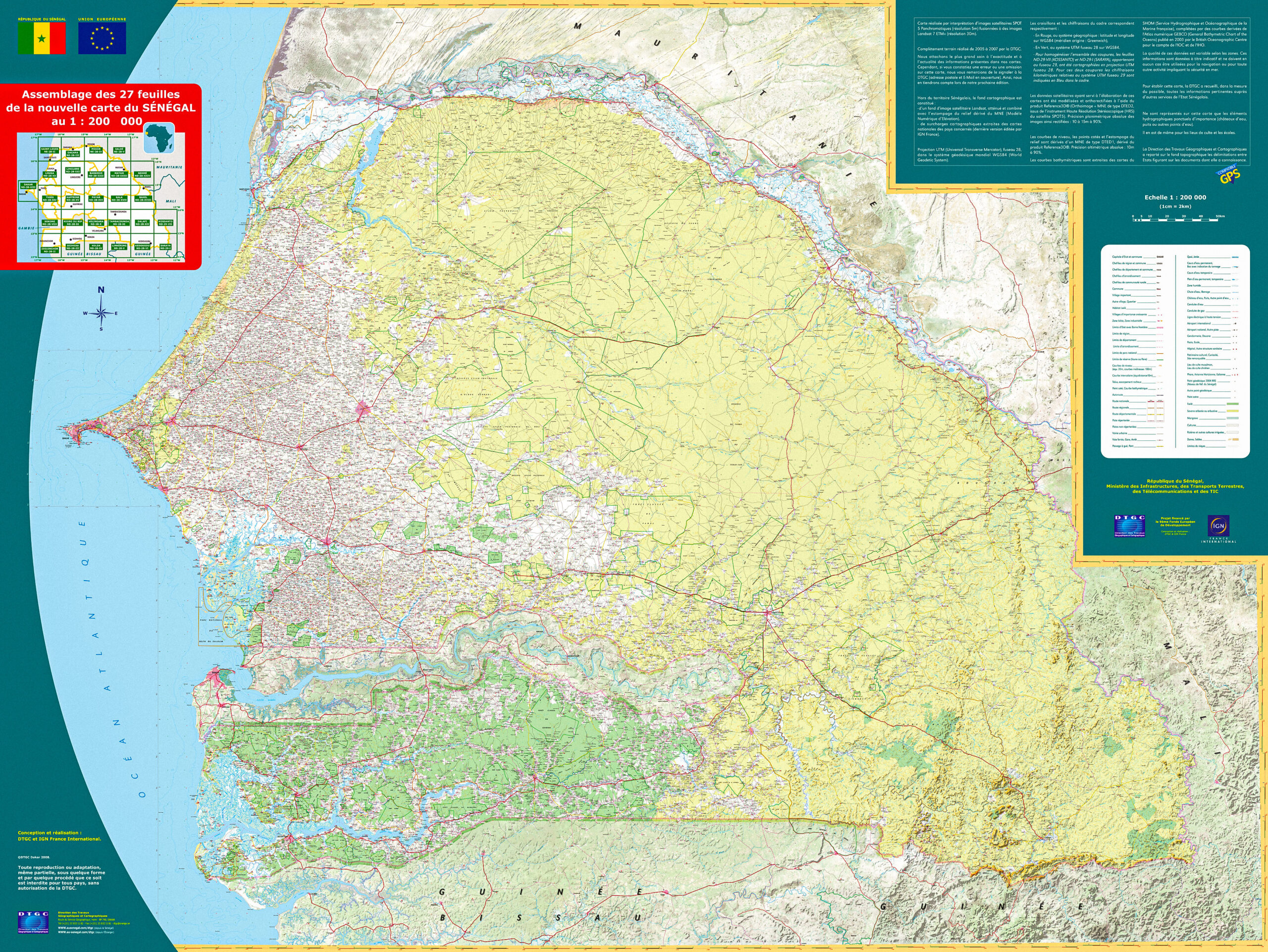
Using fused SPOT and LANDSAT imagery, the aim was to re-establish up-to-date and homogeneous digital mapping of Senegal and also to enable the DTGC to complete its equipment, strengthen the technical level of its staff, and, with the support of internationally recognized partners, improve its production chain and organize the maintenance of the databases produced. A new first-order geodetic network was also established during this project, as well as the online deployment of the “Circé” coordinate transformation software.


Africa
Senegal
Cartography and spatial data infrastructures
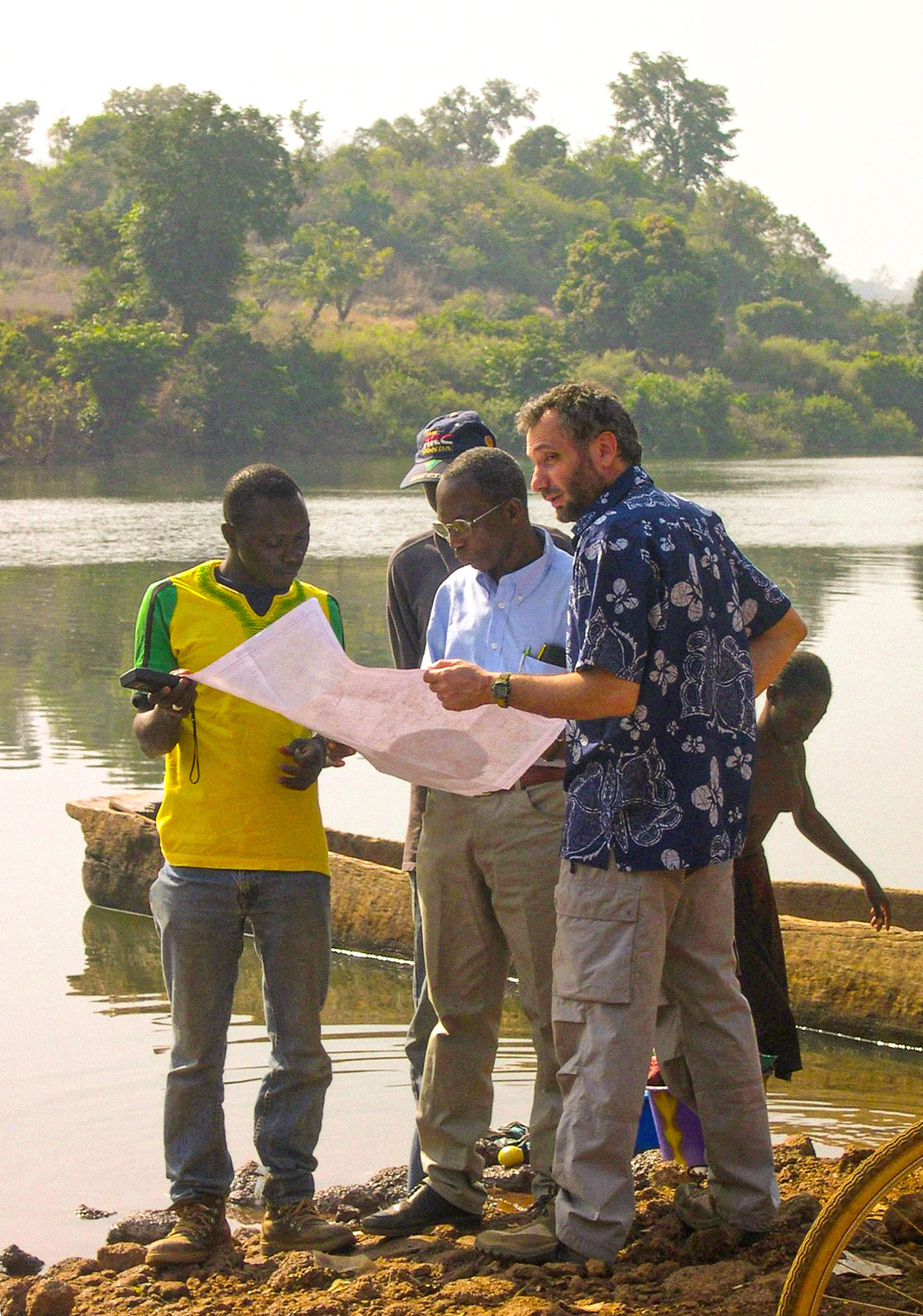
Context
As part of its program to support Senegal's infrastructure, the European Union funded a project to update its 1:200,000 scale mapping and create a georeferenced database of the country.
Client
Directorate of Geographic and Cartographic Works (DTGC)
Zone
Senegal
Funding Agency
European Union
Timeline
12/2003-06/2008


Missions
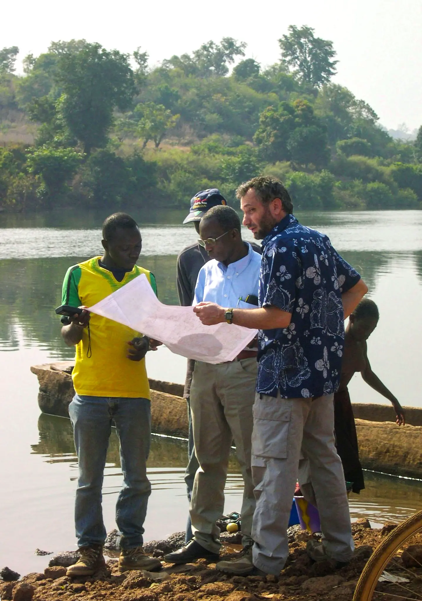
- National Mapping Update: IGN FI produced up-to-date and homogeneous digital mapping of Senegal at a 1:200,000 scale using fused SPOT and LANDSAT imagery.
- Geodetic Network Establishment: A new first-order geodetic network was established to ensure a precise reference system for the country’s mapping.
- “Circé” Software Deployment: Online deployment of the “Circé” software for coordinate transformation, thus facilitating the integration and use of geodetic data.
- “Sen 200” Database Development: Creation of a georeferenced database organized into five thematic layers for efficient management of geographic information.
- Paper and Digital Map Production: Production of updated maps available in paper and digital format, facilitating access for professionals and the general public.
- Technical Assistance and Know-how Transfer: Provision of continuous technical assistance and know-how transfer to ensure the sustainability and autonomy of the DTGC in cartographic management.
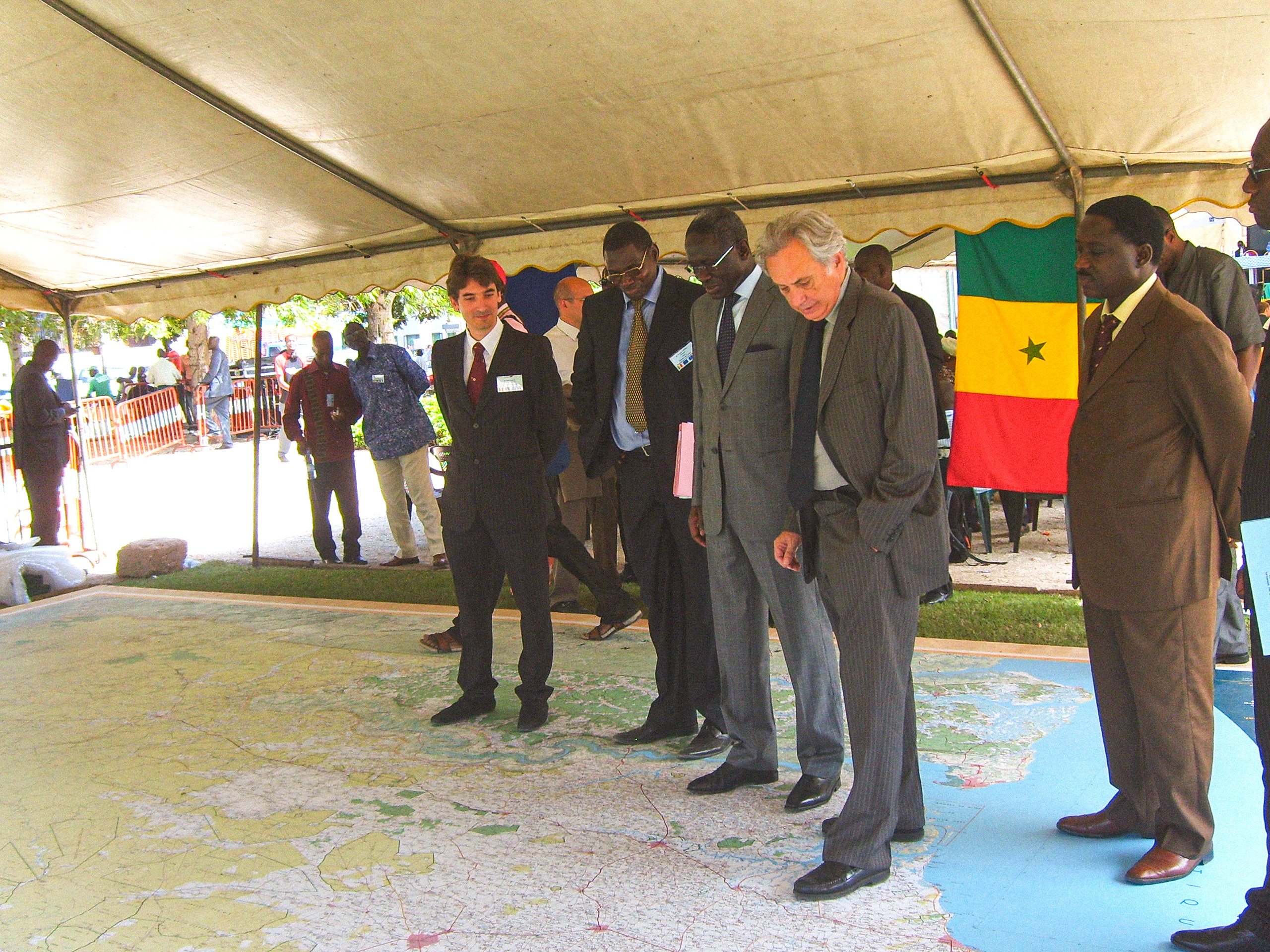
- Cartographic Product Awareness and Dissemination: Organization of regional seminars and an official ceremony to raise awareness and educate local stakeholders on the use of cartographic products.
Approx. 30
DTGC personnel involved in the project
27
revised sheets at 1:200,000 scale, in digital and paper format
1
“Sen 200” database in vector format, organized into 5 thematic layers
4
regional awareness seminars
for the general public and professionals
1
official ceremony at Independence Square
in Dakar, followed by a technical seminar