By adopting a statistical sampling methodology, the project enabled a rapid and precise assessment, thereby facilitating decision-making for the Egyptian Ministry of Agriculture. This project also included training sessions and international collaboration, strengthening local capacities in remote sensing and land management.


Africa
Egypt
Environment, Agriculture, Forestry
Context
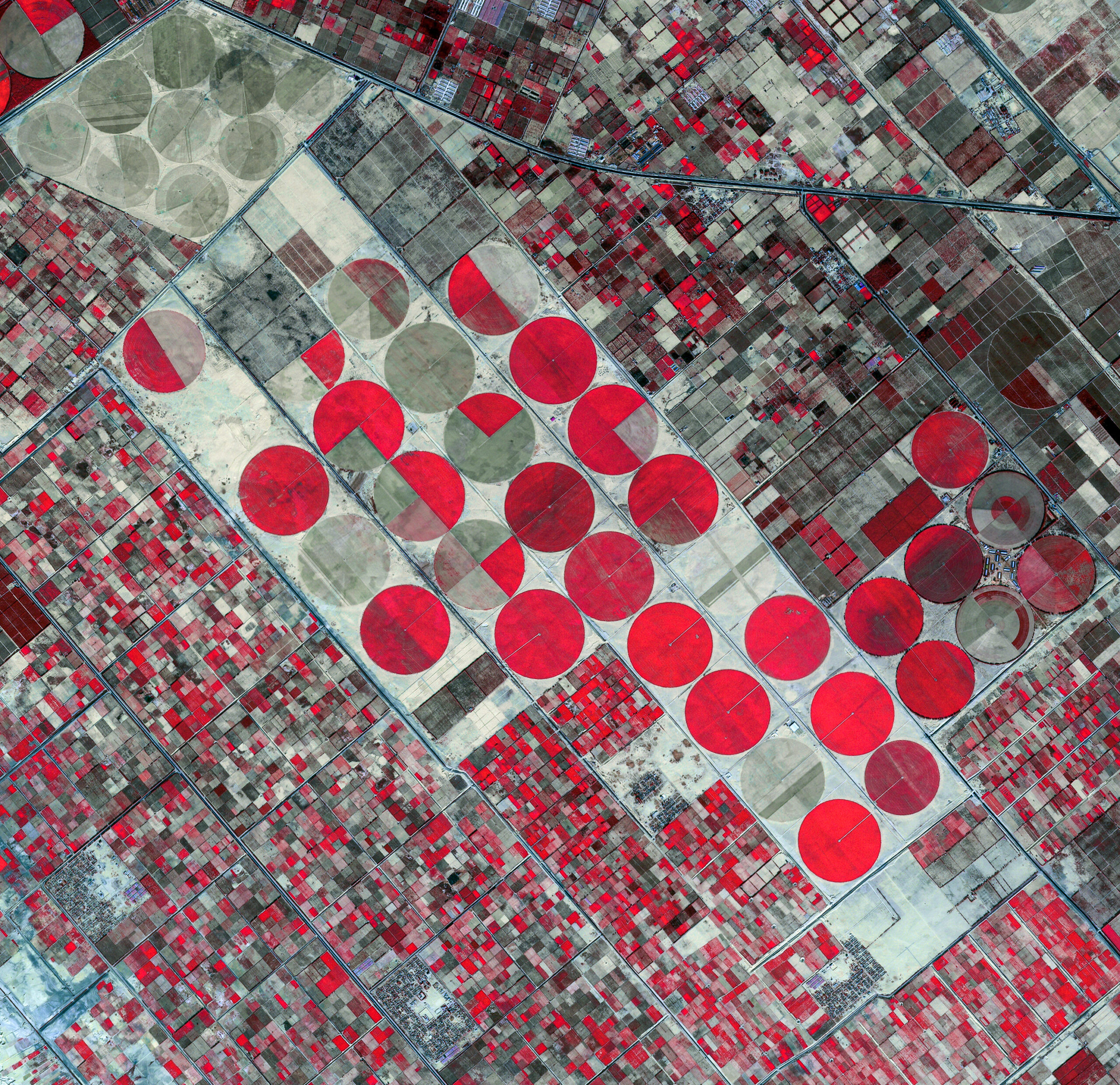
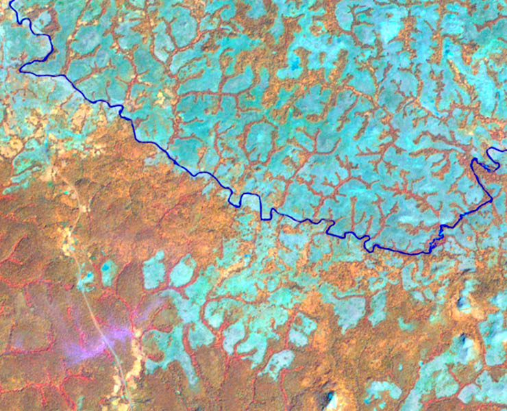
The ALMA project, conducted in Egypt between 2005 and 2007, aimed to assess the evolution of arable land in the Nile Delta and Valley, a crucial area covering nearly 50,000 km². In response to increasing urbanization and the loss of high-quality agricultural land, this project utilized SPOT 5 satellite imagery and cadastral maps to monitor changes over a 20-year period.
Client
Soil Water and Environment Research Institute (SWERI)
Zone
Nile Delta and Valley / Egypt
Funding Agency
French and European Counterpart Funds for Food Aid
Timeline
07/2005-07/2007

Missions
- Satellite Image Acquisition and Processing: the ALMA project involved the acquisition and processing of SPOT 5 satellite imagery to cover the Nile Valley and Delta. These images, with a resolution of 2.5 meters, were georeferenced to establish a statistical sample, allowing for precise comparison with 1985 cadastral maps.
- Training: Theoretical and practical training sessions were provided in France and Egypt. These sessions allowed for the joint presentation and finalization of a methodology with the Egyptian team, thereby ensuring the adoption of the tools and the sustainability of the study.
- Methodology Definition: To address time constraints, a statistical sampling approach was adopted. This methodology enabled a rapid assessment of arable land evolution, facilitating the identification of gains and losses over a 20-year period.
- Image Interpretation and Historical Comparison: Satellite images were interpreted and compared with 1985 cadastral maps. This comparison allowed for the assessment of changes in land use, providing valuable insights into urbanization and the conversion of wetlands to fish farming.
- Data Consolidation and Results Delivery: The team proceeded with the consolidation of figures and the delivery of results to the Egyptian Ministry of Agriculture. This data served as a basis for guiding future policies and interventions, offering an objective view of urbanization and its impacts.
- Collaboration with Local and International Experts: The project mobilized French and Egyptian experts, including photo-interpreters and thematic managers. This collaboration allowed for the combination of local and international expertise for a precise and reliable assessment of arable land.
50 000
km2 of study area
8
SPOT 5 scenes and 10 partial scenes
2700
digitized, scanned, and georeferenced cadastral maps
+78 700
sampled points