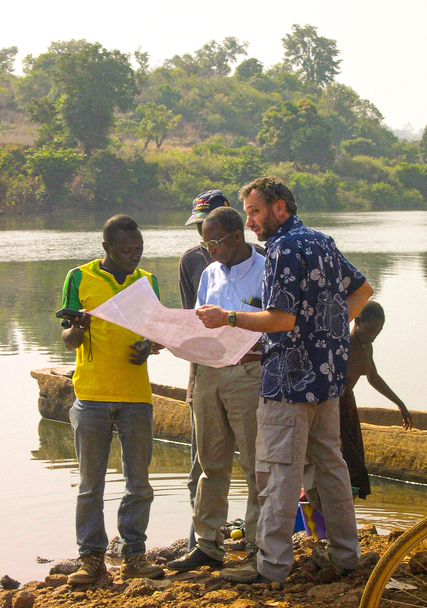
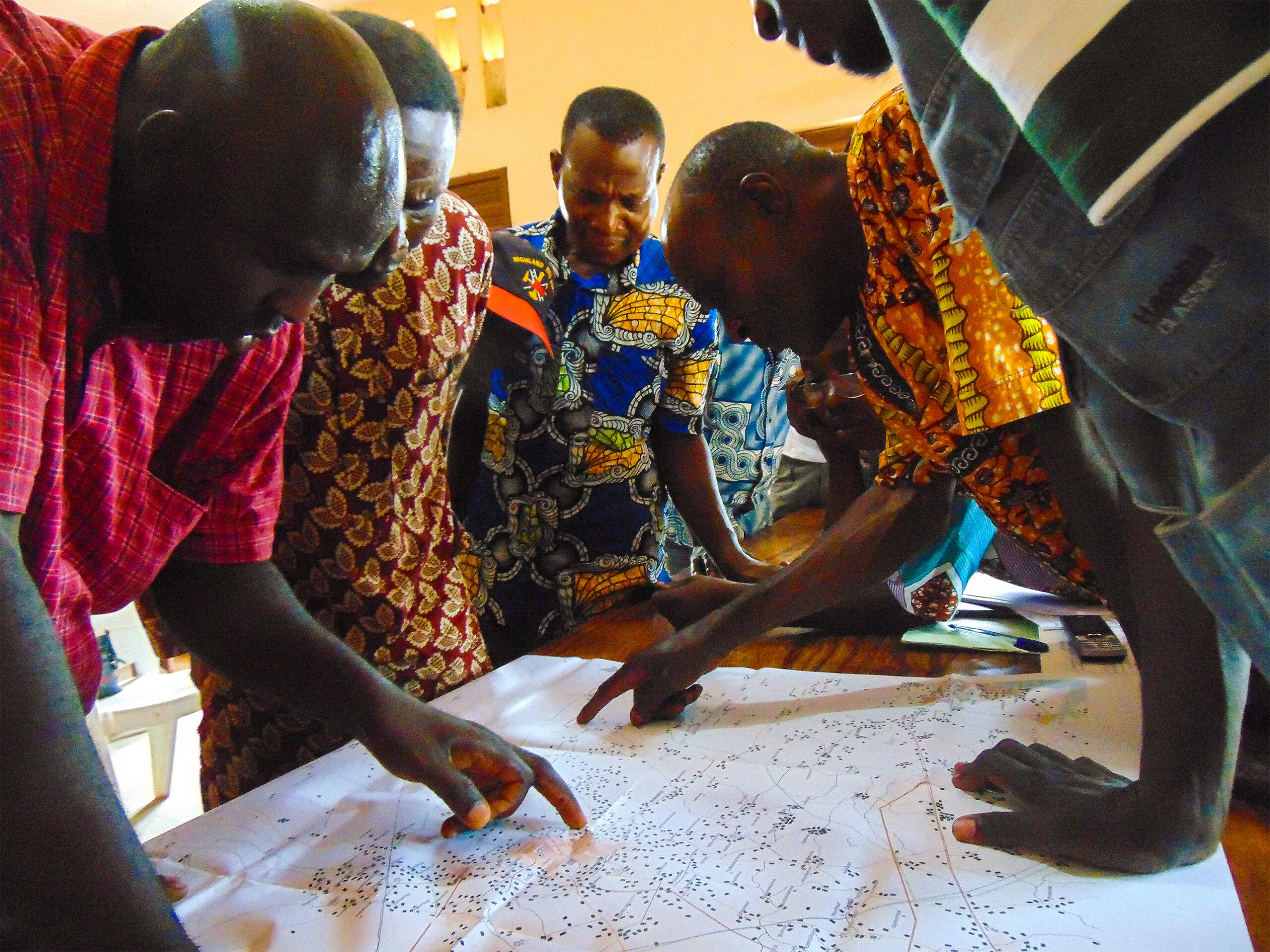
IGN FI provided the expertise of the French National Geographic Institute (IGN) to help the SOB implement a comprehensive and modern mapping process. This project management assistance, part of a 20-year cooperation, mobilized 12 international experts to train local staff and implement advanced technologies in photogrammetry and GIS. The defined process took into account the specific topography of the country, which is mainly flat, and the high population density.


Asia
Bangladesh
Cartography and spatial data infrastructures
Context
The Survey of Bangladesh collaborated with IGN FI to modernize its national mapping to meet the growing demand for geospatial data in Bangladesh, by creating 1:25,000 scale topographic maps for the entire country and 1:5,000 scale maps for five major cities.
Client
Survey of Bangladesh
Zone
Bangladesh
Funding Agency
People's Republic of Bangladesh
Timeline
05/2008-12/2012
Missions
- Production of a 1:5,000 scale topographic map using digital photogrammetry, covering five of the country’s major cities.
- Production of a 1:25,000 scale topographic map using digital photogrammetry and image processing (where necessary) covering the entire country.
- Technical assistance: IGN FI was responsible for supporting and supervising the project for two years.
- Development of a master plan: this included defining the methodology, describing the necessary hardware and software, costs, schedule, staffing requirements, and consulting and training services for future production.
8
workshops
7
terms of reference prepared
9
international expert missions