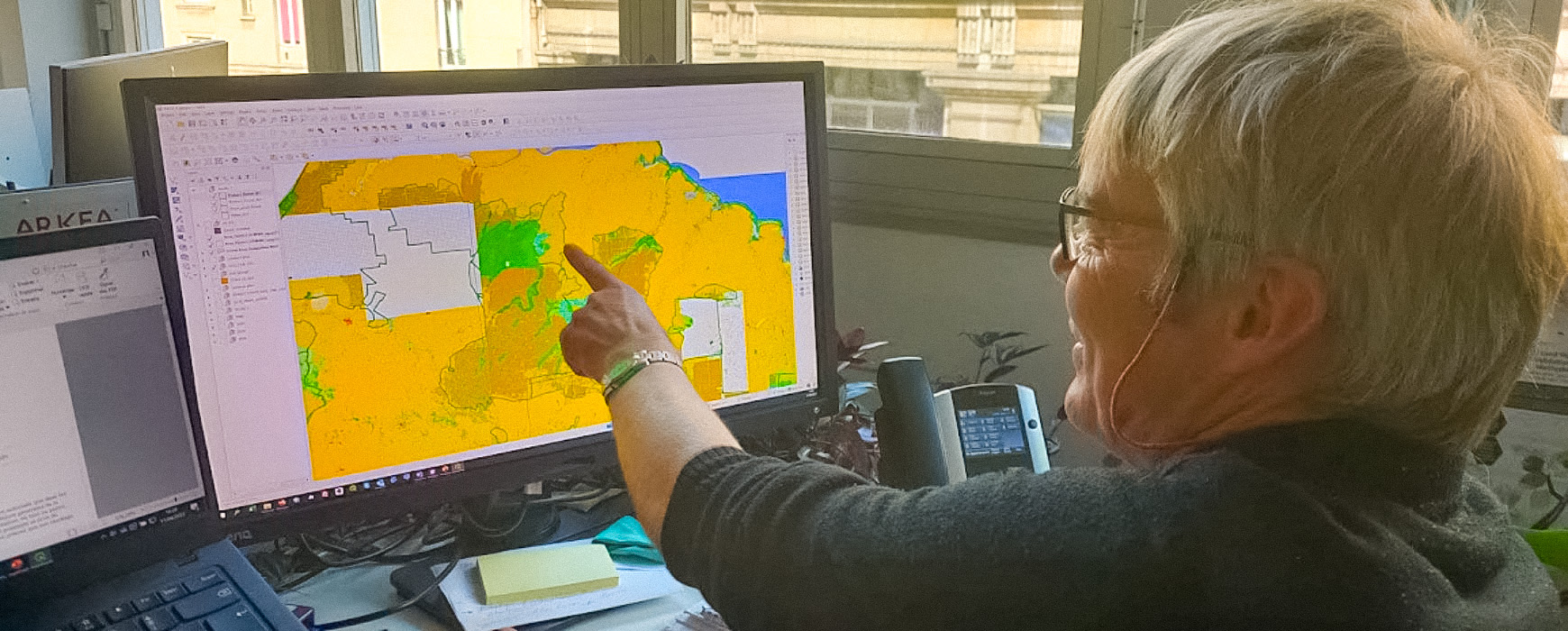
Funded by the World Bank and operated by IGN FI in consortium with Australian and Indonesian partners, the project “Land Use, Land Cover and Land Suitability Spatial Analysis to Support Integrated Landscape Management in the Implementation of Tora and Social Forestry” aims to establish a support and guidance tool for land management policies within the framework of the TORA land reform program. More specifically, it involves providing technical expertise to analyze land use and land cover in an Indonesian province (Jambi province) using SPOT and Sentinel 2 satellite imagery.
The process first involves understanding landscape compatibility, i.e., the suitability of land cover and the various land use objectives defined by the relevant Ministries (Forestry & Agrarian and Spatial Planning).
Secondly, it is necessary to define the land cover areas that can be redistributed to local communities as part of the land reform program, taking into consideration environmental aspects such as ecological fragmentation, the preservation of peatlands, and other protected territories.