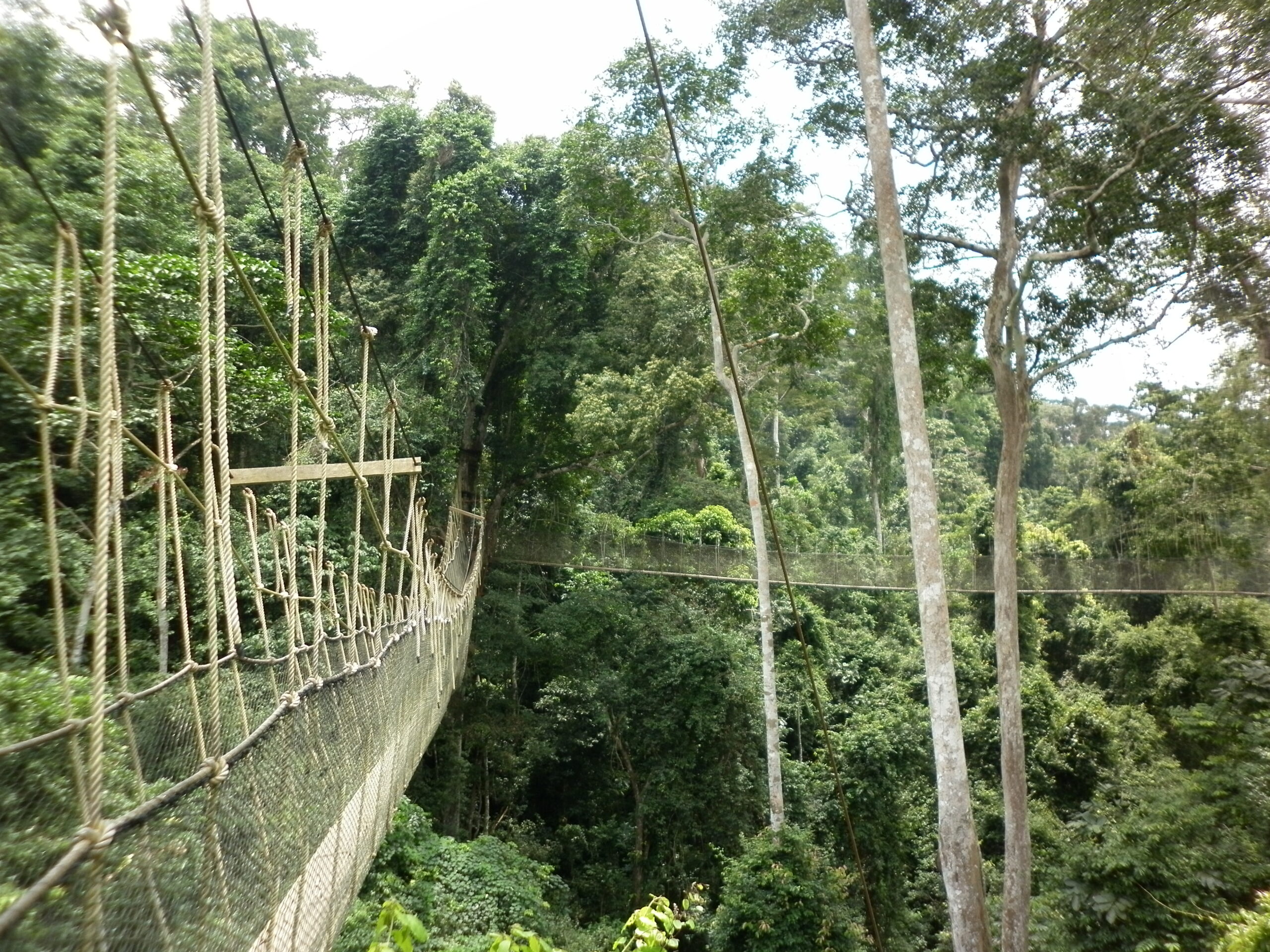
Led by the Burundian Ministry of Environment, Agriculture, and Livestock, this land sub-component of the PRRPB aims to clarify and secure land rights, as well as to resolve land conflicts in the project’s intervention communes and hills. Indeed, it is estimated that land disputes account for over 70% of cases brought before Burundian courts. Securing land tenure and reducing land conflict are therefore among the factors


Africa
Multi-country
Environment, Agriculture, Forestry
Context
Burundi, a party to the 'Bonn Challenge' (to restore 150 million hectares of degraded and deforested land by 2020, and 350 million hectares by 2030) and the African Resilient Landscapes Initiative, has committed to restoring one million hectares of land by 2030.
Client
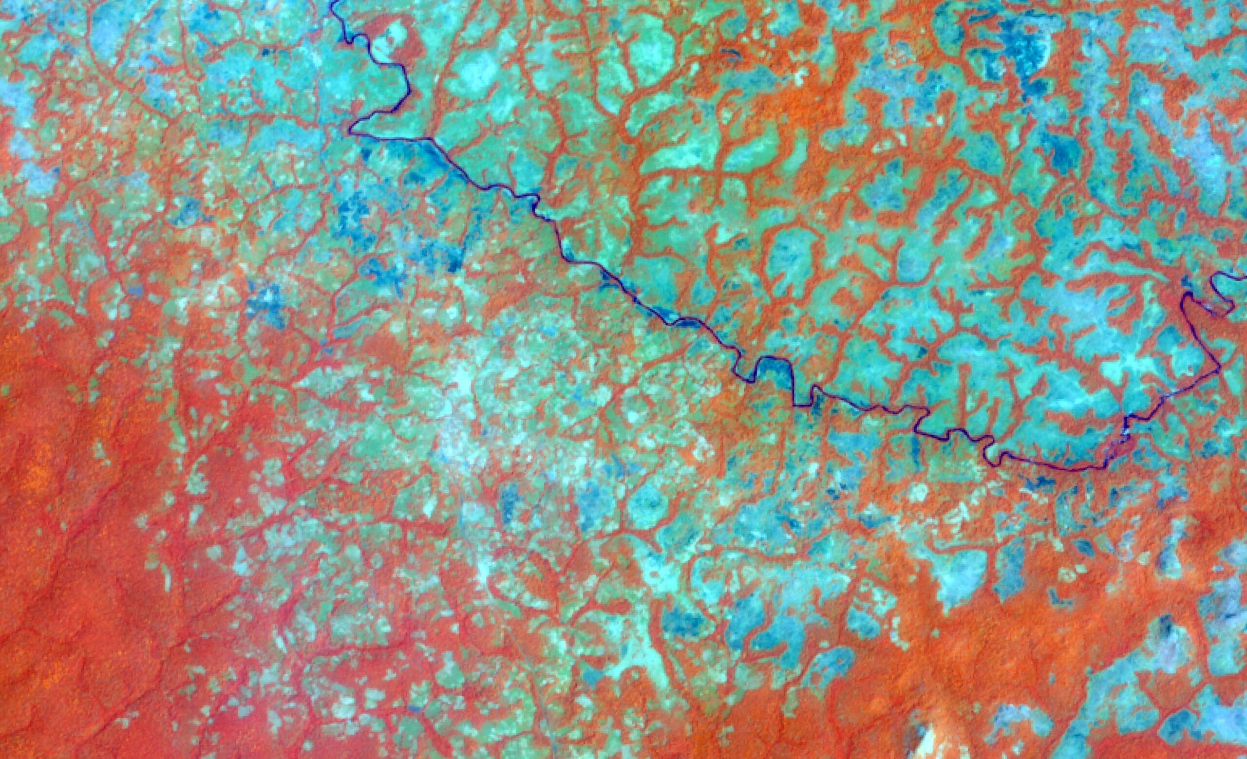
Copernicus Global Land
Zone
More than 20 countries located in West Africa, East Central Africa, and Southern Africa, Madagascar, Timor Leste, and the Caribbean islands
Partner
Johanneum Research, EOXPLORE, GISBOX, Space4environment (s4e), LUXSPACE, ONF International
Funding Agency
European Commission, Joint Research Centre (JRC)
Timeline
12/2016-02/2021


Missions
- Independent verification and validation of Land Cover 2015 and land cover change 2000-2015 products derived from Sentinel/SPOT or Landsat imagery over specific areas of interest on the African continent
- Independent verification of land cover change 2015-2020 in 5 sensitive areas
- Implementation of a quality control methodology, including
- Validation of all stages of Land Cover and land cover change map production
- Quality control of the geometry and radiometry of source satellite imagery data
- Quality control of final products
- Qualitative assessment of accuracy, or database verification through a systematic visual review of land cover data and its changes
The validation complied with the requirements of the Committee on Earth Observation Satellites (CEOS) and was scrupulously based on the recommendations of the Global Land Cover GOFC-GOLD, EC-JRC, WGCV, 2006 validation document.
19
Areas covered
≈ 30
International experts and scientists involved
+1 270 000
km² of validated data
Other references from the same sector
Agro-ecological Zoning of Guinean Territory – ZAEG
Agro-ecological Zoning of Guinean Territory – ZAEG
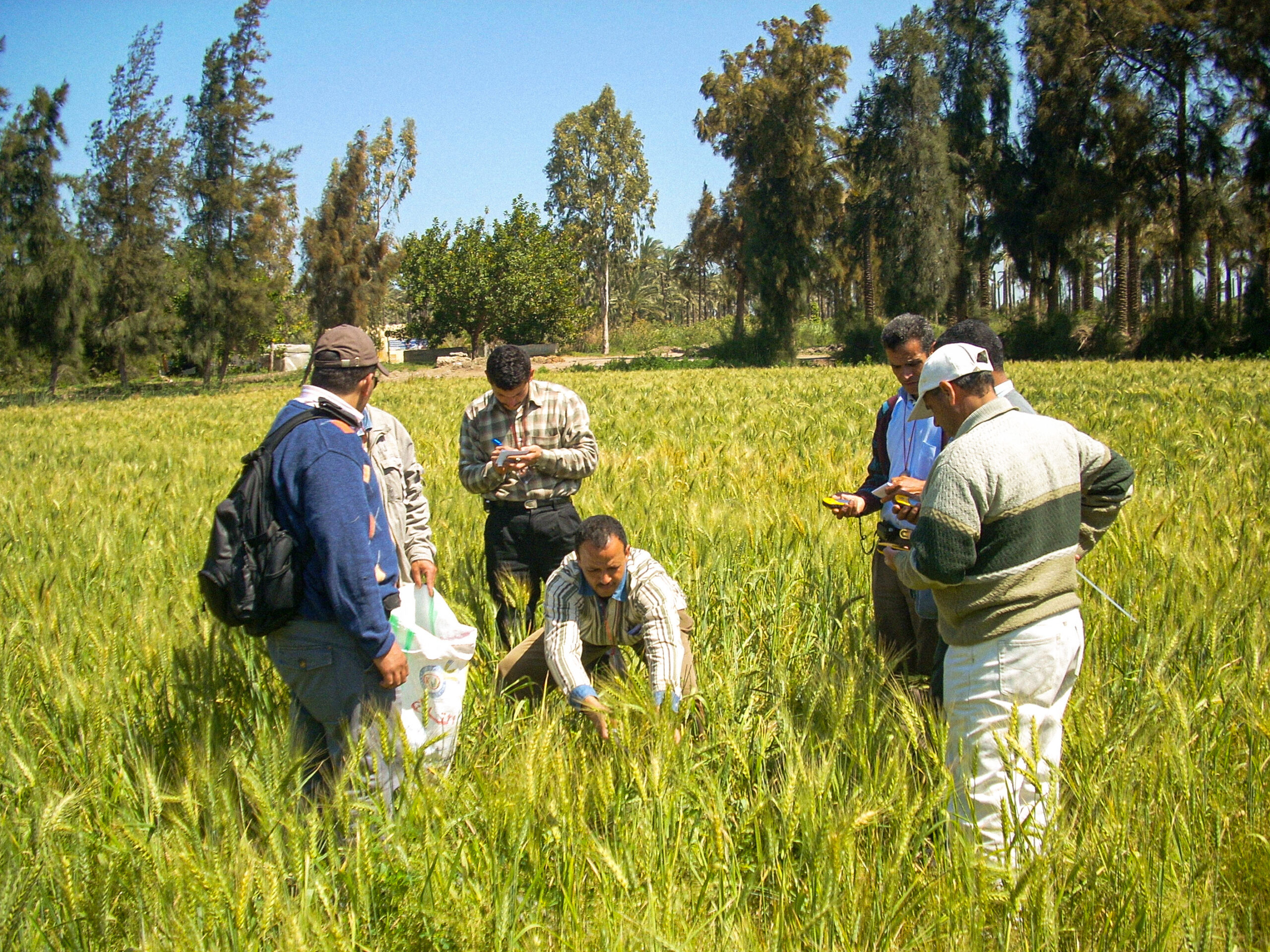
Crop Inventory in Egypt – CIPA
Crop Inventory in Egypt – CIPA

Sustainable environmental data governance – GDDE