Africa
Benin
Geodesy
The project to support the preservation and development of gallery forests and the production of digital base mapping (PAPDFGC) aims primarily to provide modern cartographic tools to enable flood control and effective management and control of communal territories and areas. In this context, the need to produce a dedicated geoid for Benin was identified.

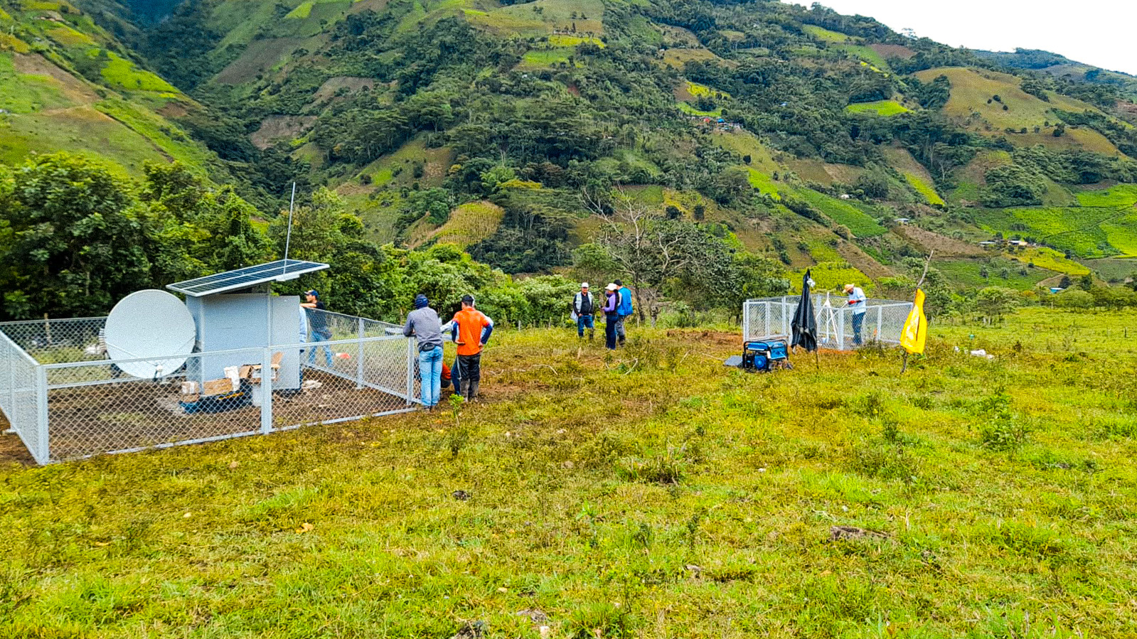
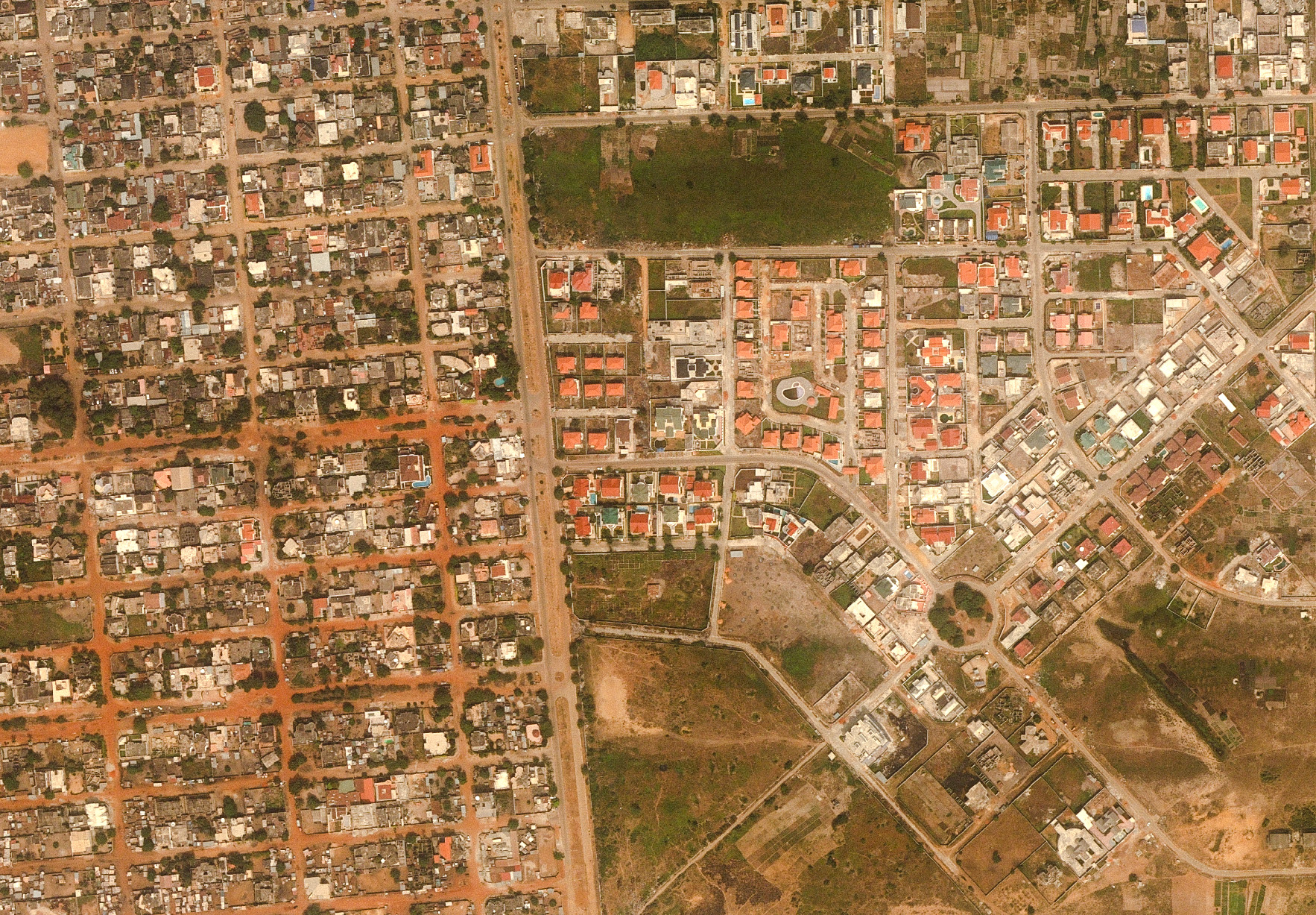
The urbanized area along the Atlantic coast, which is subject to flood risks, has a low relief in places and therefore required a very precise geoid model for this area.

This geoid also served as a reference for the altimetric component within the framework of the national mapping project carried out by IGN FI.

Client
Project to support the preservation and development of gallery forests and the production of digital base mapping (PAPDFGC)
Zone
Benin
Partner
Geographic Institute of Benin
Funding Agency
European Union
Timeline
06/2017-05/2018
  • Implementation and GPS observation of new leveling routes: the project to establish a precise geoid model across the entire country, and even a very precise one for the urbanized coastal strip, as well as tools enabling its use, was a significant challenge for all hydraulic developments and flood risk prevention in Benin.
  • GPS observation of benchmarks along old leveling routes
  • Adaptation of global models to leveled GPS points
  • Provision of software that is easy to use and easily distributable, in addition to the creation of the geoid model in a ‘grid’ format.
  • Skills transfer to IGN Benin to enable it to improve the model through additional measurements.

2,500 km

of field reconnaissance

850 km

of leveling surveys conducted

600

markers / benchmarks constructed

240

GPS-observed points