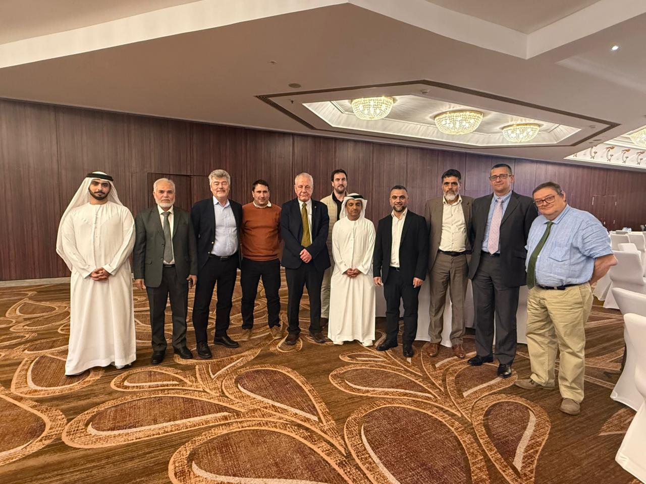
In association with GECO Engineering, IGN FI had the great pleasure to join with the UAE Federal Geographic Information Center (FGIC) to celebrate the successful completion of the first phase of the National Geodetic Reference Frame (NGRF) project through a workshop held on 14 January 2026 in Dubai.


The workshop was held in Dubai where the results of the computation of the NGRF were shared and discussed with the many stakeholders. The day featured an overview of the International Terrestrial Reference Frame (ITRF) presented by Dr Zuheir Altamimi, Research Director at Institut National de l’Information Géographique et Forestière (IGN), and Institut de Physique du Globe de Paris (IPGP). As well as the overview, Dr Altamimi signposted the way forward for monitoring of the NGRF and future regional and international cooperation in the field of geodesy.
The first phase used three years of data from 81 CORS across all seven emirates to compute, for the first time, an NGRF for the UAE. This NGRF, aligned to ITRF2020, will be fundamental to the national spatial data infrastructure (NSDI) and will also support land administration, disaster monitoring, infrastructure planning, environmental management, and scientific research.
The opportunity was taken to thank the organisations responsible for managing Continuously Operation Reference Stations (CORS) in the seven emirates without whose cooperation, the project would have been impossible. Attendees included representatives from these organisations as well as other stakeholders including federal entities, academic institutions, and many more.