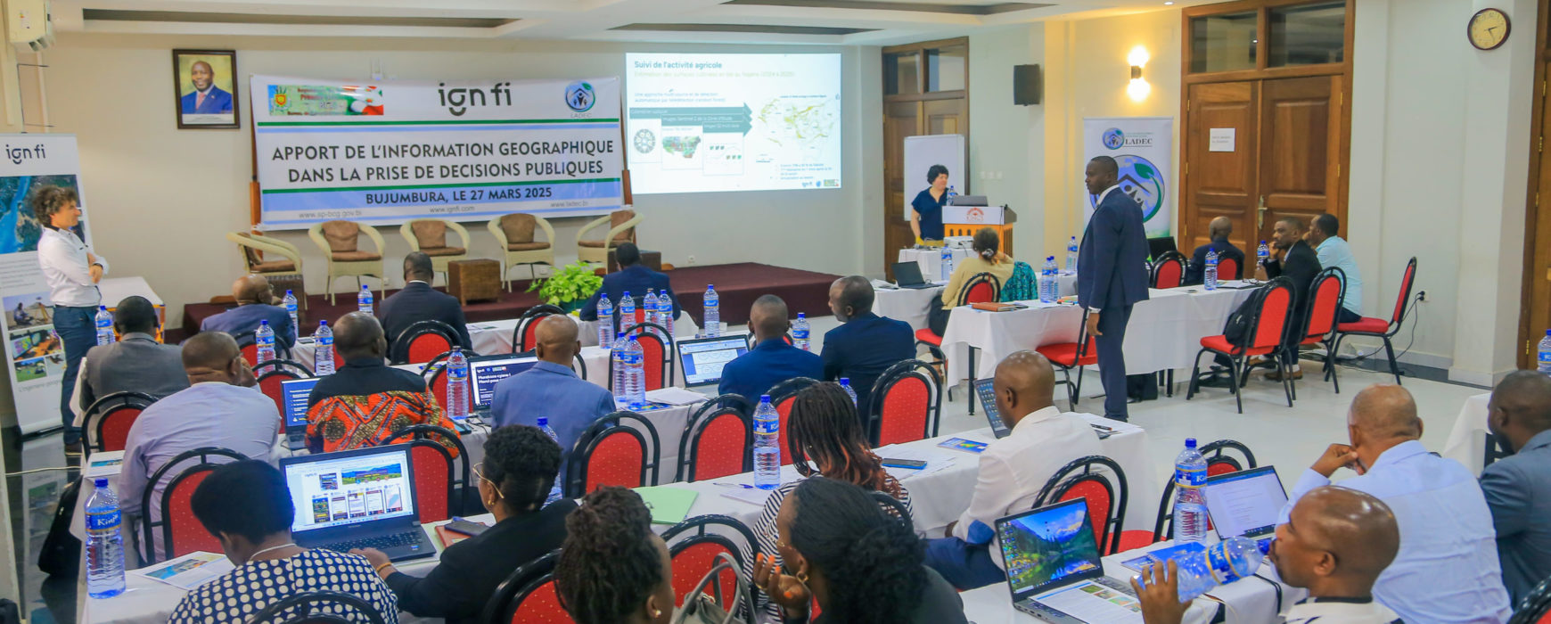
On Thursday, March 27, 2025, a seminar dedicated to the contribution of geographic information in public decision-making was held at the King’s Conference Center in Bujumbura. This event was organized with the support of the Geomatics Centralization Office (BCG), under the supervision of the Burundian Prime Minister’s Office, IGN FI, and LADEC, its partner in Burundi.


Mobilization of Strategic Stakeholders
This seminar brought together a wide range of participants from key national institutions. Among them were a representative from the Strategic Studies Office for Development (under the Presidency’s supervision), officials from ministries (environment, agriculture, territorial administration, civil protection, defense, health, infrastructure, education, etc.), experts from the
Inspiring International Experiences
During the presentations, several projects led by IGN FI were showcased, particularly in Uganda, Guinea, Madagascar, and Burundi, illustrating the modernization of land administration and the establishment of national mapping. Emphasis was also placed on the Geoportal, a tool facilitating access to reference geographic data, and on the modernization of the national geodetic network.
Risk management was the subject of in-depth discussions, with a focus on the Integrated Flood Management Project in Senegal (PGIIS), generating strong interest among participants. The application of these experiences could greatly contribute to flood prevention in Burundi and to better management of the country’s natural and land resources.
A Need for Data Structuring and Access
Local stakeholders presented an overview of the collection and use of geographic data. The director of IGEBU notably recalled that many geodetic markers date back to the colonial era and that their preservation is now the responsibility of communal administrators, following awareness campaigns.
Towards Better Governance Through Geographic Information
Discussions converged on the need to strengthen the capacities of local stakeholders, build synergies, and update the base of reference data (national imagery, topographic and administrative maps, geodetic network) by establishing a portal-type platform to facilitate access to and sharing of geographic information. This approach would optimize the use of geospatial data across all sectors of the country, facilitating informed and strategic decision-making.