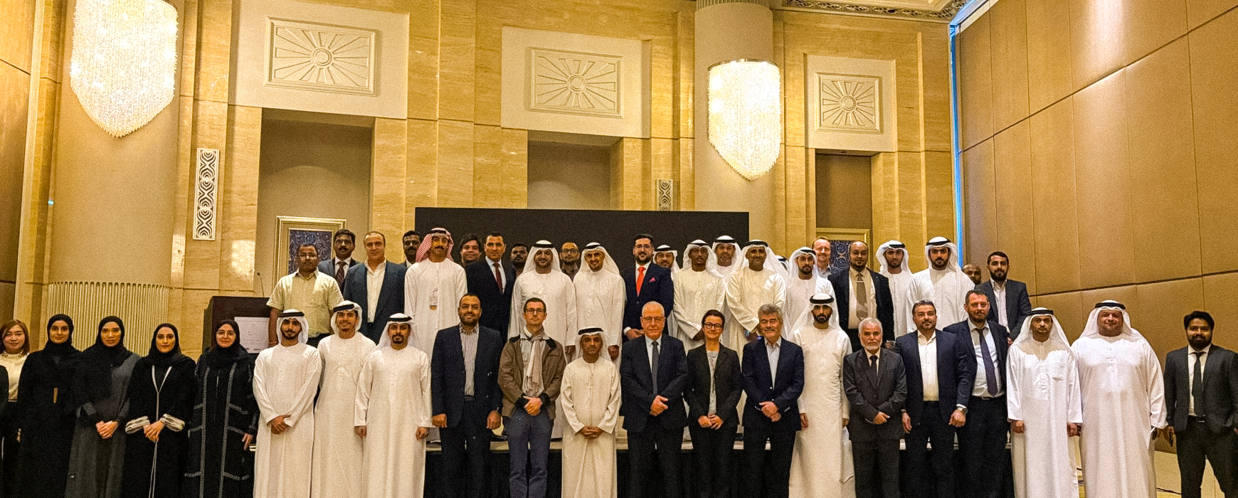
As part of the Federal Geographic Information Centre (FGIC) initiative to establish the UAE National Geodetic Reference Network (NGRF), and in collaboration with GECO Engineering/IGN FI, a successful workshop was organized to present the NGRF project to key stakeholders.
The project officially commenced on September 30, 2024. A workshop held at the St. Regis Abu Dhabi on November 27, 2024, presented the project’s methodology and implementation plan. Dr. Zuheir Altamimi, Research Director at the French National Institute of Geographic and Forest Information (IGN) and the Paris Institute of Earth Physics (IPGP), France, delivered a presentation on the International Terrestrial Reference System (ITRF).
Participants included representatives from entities managing Continuously Operating Reference Stations (CORS) in the seven Emirates, as well as attendees from federal entities, the energy sector, Etihad Rail, academic institutions, and other sectors.
The NGRF project aims to update existing geodetic reference networks in the United Arab Emirates. Its objective is to implement a unified national geodetic reference network, providing tools to seamlessly convert local and national reference networks.
The FGIC, established by Federal Law No. 5 of 2019, oversees the geospatial sector at the federal level in the United Arab Emirates, including the National Spatial Data Infrastructure (NSDI).
GECO Engineering Equipment Trading LLC has been a leading company in mapping equipment and services in the United Arab Emirates since the 1970s.
IGN FI is the technical operator for IGN‘s international activities.
The GECO/IGN FI consortium brings its geodetic expertise to the entire region. IGN FI contributes knowledge gained from similar large-scale initiatives carried out in France.
The NGRF is a key component of the UAE’s geospatial sector and supports applications such as land administration, disaster monitoring, infrastructure planning, environmental management, and scientific research.