As part of a large-scale campaign of studies and hydraulic engineering projects, IGN FI studied the implementation of an extensive geodesy and leveling network with 1:5,000 scale mapping to cover the 70,000 km² of the project. The aim was to produce detailed maps of potential dam sites on the Nile for use by all companies involved in impact studies, land management, and dam construction.


Africa
Sudan
Geodesy
Context
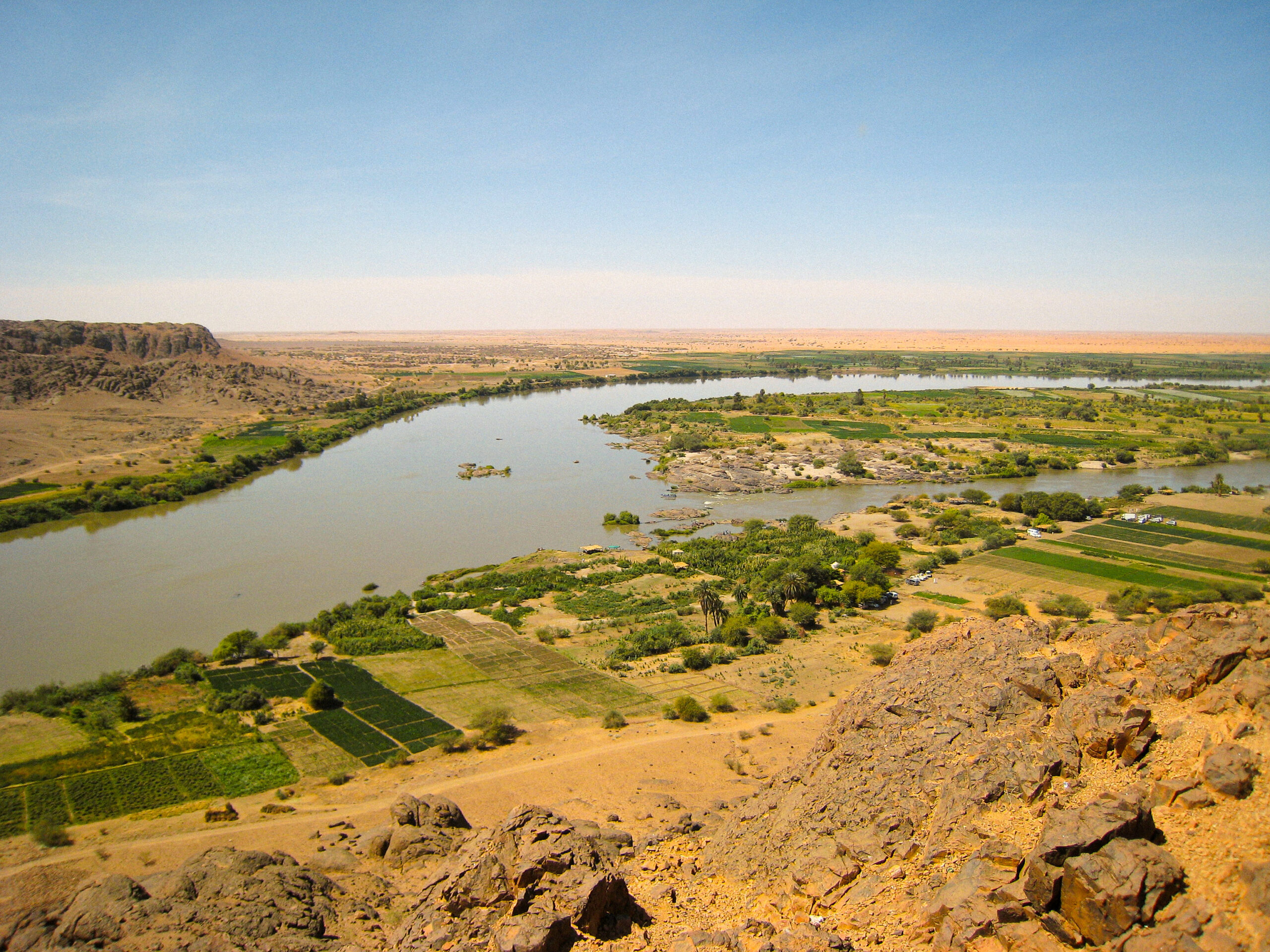
Between 2007 and 2013, IGN FI carried out various projects for the Sudanese implementing agency, Dams Implementation Unit (DIU), responsible for the planning and construction of several dams and irrigated areas along the Nile, in North and South Sudan.
Client
Dams Implementation Unit (DIU)
Zone
Sudan
Partner
GEOFIT
Funding Agency
Own funding
Timeline
01/2007-11/2013


Missions
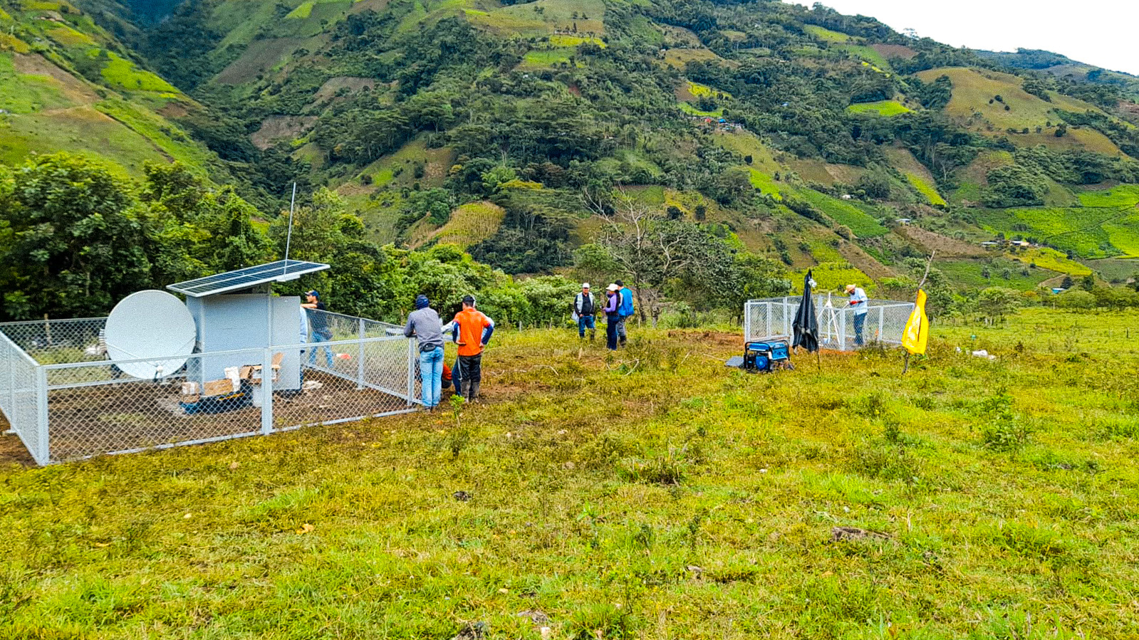
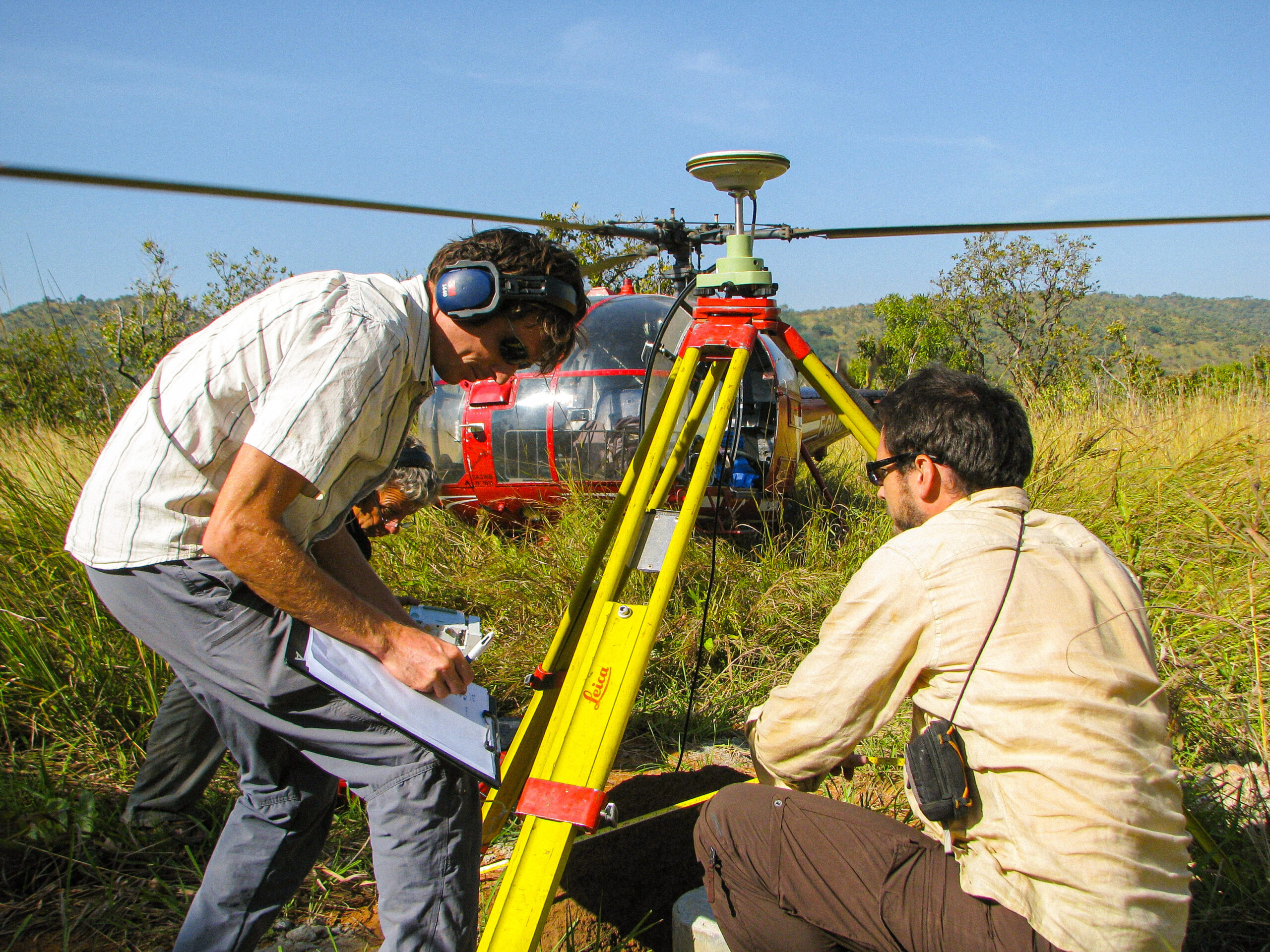
- Geodetic network and reference leveling: creation of a geodetic network and leveling along the Nile, including more than 700 control points and a gravimetric survey over 9,000 linear km to create an accurate geoid.
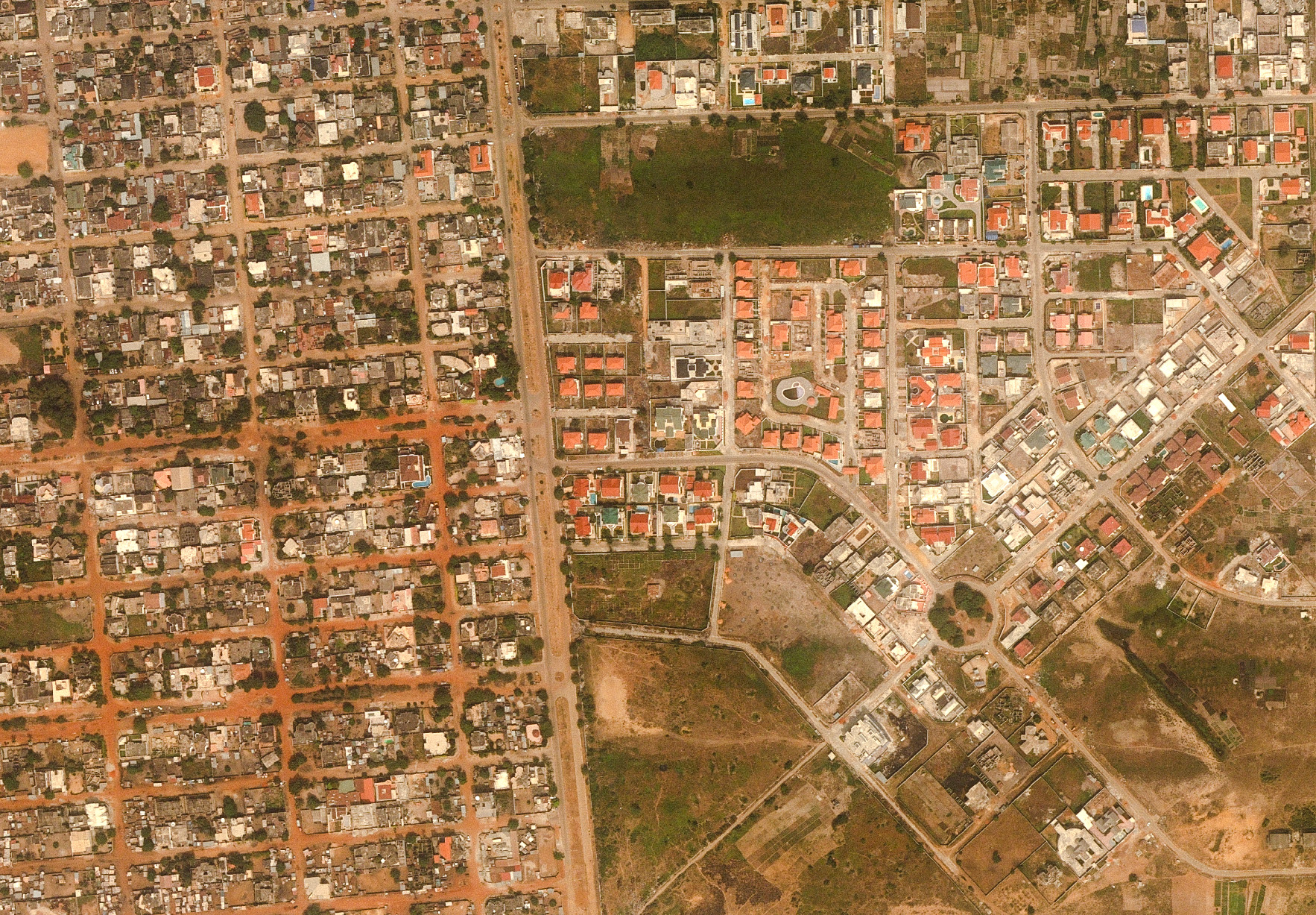
- Acquisition of aerial photographs: acquisition of digital aerial photographs and Lidar with a resolution of 8 cm to 20 cm over 70,000 km², producing orthophotographs and digital terrain models with centimeter accuracy.
- Digital mapping: creation of digital maps at scales of 1:5,000 and 1:20,000 in the form of an atlas for a detailed and accurate representation of the studied territory.
- Bathymetric surveys and hydraulic studies: completion of 1,030 bathymetric profiles and six hydraulic studies for the upstream and downstream phases of dam sites.
- Supply of materials and equipment: supply of IT, office and field equipment to support operations and ensure the efficiency of field missions.
- Skills transfer and training: implementation of a training plan for DIU agents for skills transfer, including theoretical and practical training courses in France and Sudan.
- Preparation of deliverables: provision of study results to all companies involved in impact studies, land management, and dam construction.
- Data management and management center: setting up a data management center using GeoView software to manage 120 terabits of data, enabling online access to image layers and vector data.
- Project management and logistics: management of logistics for field missions, including transportation of equipment and teams, with additional security measures to operate in a difficult environment in South Sudan.
70 000 km²
high-precision aerial acquisition with 8cm to 20cm resolution
250
personnel involved
+1000
geodetic points
4000
maps produced
