The formalization of land tenure is now recognized as a key driver of sustainable development. Land governance, poverty reduction, and food security: these challenges depend on reforms that recognize and protect land rights, supported by reliable cadastral data and effective land information systems (LIS).
Drawing on its international expertise, IGN FI designs turnkey projects that combine legal, technical, and training components to streamline procedures and ensure that local stakeholders can sustainably adopt the tools.
Madagascar, a model for land tenure security
The CASEF (Agricultural Growth and Land Tenure Security) project in Madagascar, funded by the World Bank and implemented in two phases between 2016 and 2022, perfectly illustrates this approach. By targeting both the securing of land rights and the increase of agricultural incomes in rural areas, it has helped modernize land management in strategic regions of the country. Through major innovations such as the digitization of processes, the creation of accessible land service centers, and the large-scale issuance of land titles, the project has reached more than 433,000 beneficiaries, 28.5% of whom are women. In addition, CASEF has focused on training 13,000 local stakeholders and implementing digital tools to strengthen local capacities. Led by a consortium including IGN FI and GEOSYSTEMS, this project demonstrates how the combination of technological innovation, knowledge transfer, and community participation can bring about lasting transformation in land management.
Sustainable Modernization of Land Management in 6 Strategic Regions

In 2023, a consortium led by IGNFI and GEOSYSTEMS was commissioned to carry out a component of this project titled “Land Policy and Land Rights Registration.” It aims to establish a sustainable framework for land management in six strategic regions— Amoron’i Mania, Analamanga, Bongolava, Haute Matsiatra, Itasy, and Vakinankaratra—through five main activities:
- Establishment and revitalization of land registration offices: support for the creation of new land registration offices and the revitalization of existing ones to improve their operations and accessibility to the public.
- Implementation of digital PLOFs: Installation of digital Local Land Use Plans (PLOFs) in municipalities to enable more efficient management and better administration and preservation of parcel information.
- Massive land certification operations (OCFM): to secure the land rights of farmer-owners in the 69 target municipalities.
- Internet connections: providing land registration offices and regional information centers on decentralized land management (CIRGFD) with Internet subscriptions to facilitate information sharing.
- Land digitalization: for this project, IGN FI deployed its OneLand solution in collaboration with NEOGEO, another subsidiary of the GEOFIT Group—of which IGN FI is a part—to adapt it to the specific conditions in Madagascar. GEOSIF is a comprehensive application that supports every stage of land registry production by adapting to the different land management contexts of the countries where we operate. This production workflow is based on a digitization process tailored to local procedures using GIS tools and questionnaires, and enables the management of all data flows:
- the integration of official sources (pre-existing records, non-certifiable areas, etc.),
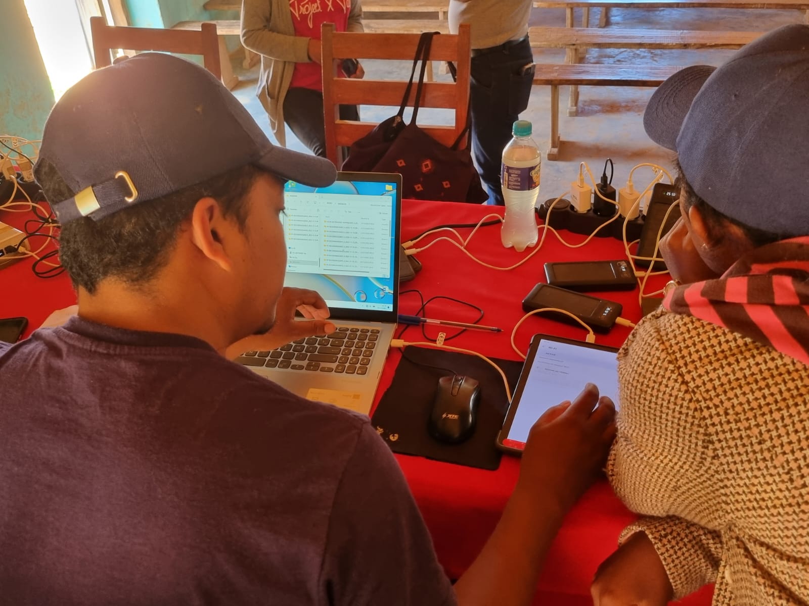
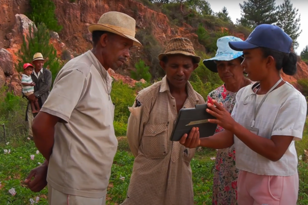
- data collection in the field during socio-land surveys (using tablets),
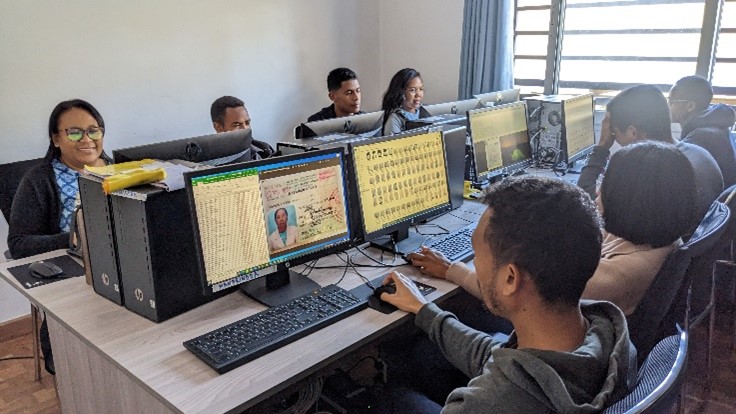
- the production of official land title deeds in production facilities. Prior to this, the collected information is consolidated and verified. This stage concludes with the monitoring of the document’s output and the printing of the documents on secure paper.
Watch the video to learn more about the project
Tangible benefits for residents and municipalities
The beneficiaries of the CASEF project—primarily farmers and rural communities—enjoy several benefits:
- Securing land rights: the land certificates issued provide official recognition of property rights, thereby reducing conflicts and promoting sustainable investment in their lands.
- Transparency and strengthening of local autonomy: Digital PLOFs and modernized land registration offices, as well as the digitization of processes through the OneLand tool, enable more transparent and efficient land management, thereby improving the traceability of land rights.
- Access to information: the implementation of internet subscriptions at land registry offices facilitates access to information and improves communication among the various stakeholders.
- Social inclusion: The initiative has helped women and young people gain access to land titles.
- the integration of official sources (pre-existing records, non-certifiable areas, etc.),
- data collection in the field during socio-land surveys (using tablets),
- the production of official land title deeds in production facilities. Prior to this, the collected information is consolidated and verified. This stage concludes with the monitoring of the document’s output and the printing of the documents on secure paper.
Some key figures
7
13000
69
413155
28
62
The CASEF project, with technical support from IGN FI and GEOSYSTEMS, represents a significant step forward in securing land rights in Madagascar. By modernizing land management infrastructure and facilitating access to information, this project contributes to the peaceful development of rural communities.